1277 Douglass Rd NW Huntsville, AL 35806
Monrovia NeighborhoodEstimated Value: $631,000 - $742,000
--
Bed
1
Bath
5,062
Sq Ft
$137/Sq Ft
Est. Value
About This Home
This home is located at 1277 Douglass Rd NW, Huntsville, AL 35806 and is currently estimated at $692,973, approximately $136 per square foot. 1277 Douglass Rd NW is a home with nearby schools including Legacy Elementary School, Monrovia Middle School, and Sparkman High School.
Ownership History
Date
Name
Owned For
Owner Type
Purchase Details
Closed on
Sep 24, 2014
Sold by
Bennett Kevin L
Bought by
Bennett Mischell A
Current Estimated Value
Home Financials for this Owner
Home Financials are based on the most recent Mortgage that was taken out on this home.
Original Mortgage
$308,000
Interest Rate
3.69%
Mortgage Type
New Conventional
Purchase Details
Closed on
Jun 28, 2011
Sold by
Knox Tim W and Knox Melissa A
Bought by
Bennett Kevin L and Bennett Mischell A
Home Financials for this Owner
Home Financials are based on the most recent Mortgage that was taken out on this home.
Original Mortgage
$279,400
Interest Rate
4.63%
Mortgage Type
New Conventional
Create a Home Valuation Report for This Property
The Home Valuation Report is an in-depth analysis detailing your home's value as well as a comparison with similar homes in the area
Home Values in the Area
Average Home Value in this Area
Purchase History
| Date | Buyer | Sale Price | Title Company |
|---|---|---|---|
| Bennett Mischell A | $124,000 | None Available | |
| Bennett Kevin L | -- | None Available |
Source: Public Records
Mortgage History
| Date | Status | Borrower | Loan Amount |
|---|---|---|---|
| Previous Owner | Bennett Mischell A | $308,000 | |
| Previous Owner | Bennett Kevin L | $279,400 |
Source: Public Records
Tax History Compared to Growth
Tax History
| Year | Tax Paid | Tax Assessment Tax Assessment Total Assessment is a certain percentage of the fair market value that is determined by local assessors to be the total taxable value of land and additions on the property. | Land | Improvement |
|---|---|---|---|---|
| 2024 | $2,274 | $64,000 | $4,680 | $59,320 |
| 2023 | $2,274 | $61,880 | $4,680 | $57,200 |
| 2022 | $1,927 | $54,420 | $3,780 | $50,640 |
| 2021 | $1,796 | $50,840 | $3,780 | $47,060 |
| 2020 | $1,681 | $47,660 | $3,770 | $43,890 |
| 2019 | $1,609 | $45,690 | $3,770 | $41,920 |
| 2018 | $1,503 | $42,760 | $0 | $0 |
| 2017 | $1,503 | $42,760 | $0 | $0 |
| 2016 | $1,503 | $42,760 | $0 | $0 |
| 2015 | $1,503 | $42,760 | $0 | $0 |
| 2014 | $1,517 | $43,160 | $0 | $0 |
Source: Public Records
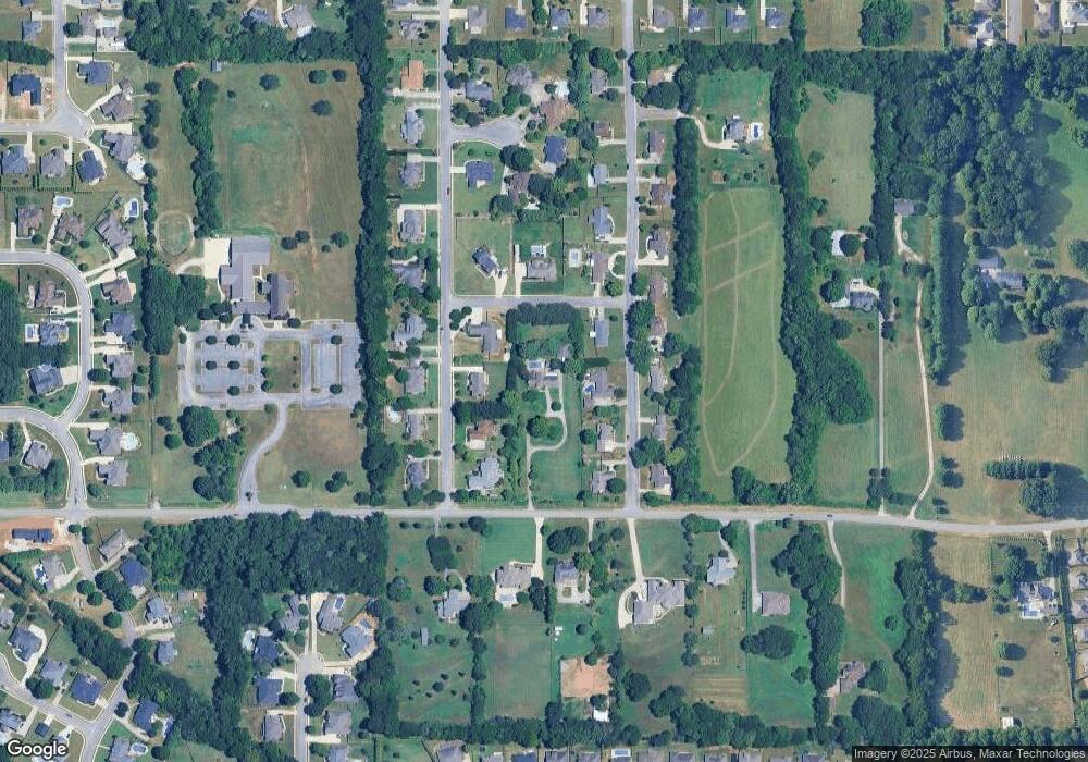
Map
Nearby Homes
- 110 Danika Dr NW
- 124 Kinsale Dr
- 123 Forest Ridge Dr
- 195 Sarah Jane Dr
- 200 Sarah Jane Dr
- 146 Forest Ridge Dr
- 116 Cove Pointe Way
- 110 Summitridge Rd
- 100 Crystal Brook Ln
- 223 Wainscott Dr
- 150 Blue Spruce Dr
- 108 Conifer Ct
- 116 Wedgewood Terrace Rd
- 349 Lionel Allen Way
- 101 Windsong Ct
- 114 Pettus Rd
- 104 Windsong Ct
- 137 Holly Grove Ln
- 207 Brier Ridge Ct
- 109 Sarah Jane Dr
- 104 Ryanridge Rd
- 105 Danika Dr NW
- 107 Danika Dr NW
- 103 Danika Dr NW
- 106 Ryanridge Rd
- 102 Ryanridge Rd
- 101 Danika Dr NW
- 100 Ryanridge Rd
- 105 Ryanridge Rd
- 107 Ryanridge Rd
- 105 Ridgetop Rd
- 103 Ryanridge Rd
- 110 Ryanridge Rd
- 111 Danika Dr NW
- 102 Danika Dr NW
- 106 Danika Dr NW
- 109 Ryanridge Rd
- 100 Danika Dr NW
- 108 Danika Dr NW
- 112 Ryanridge Rd