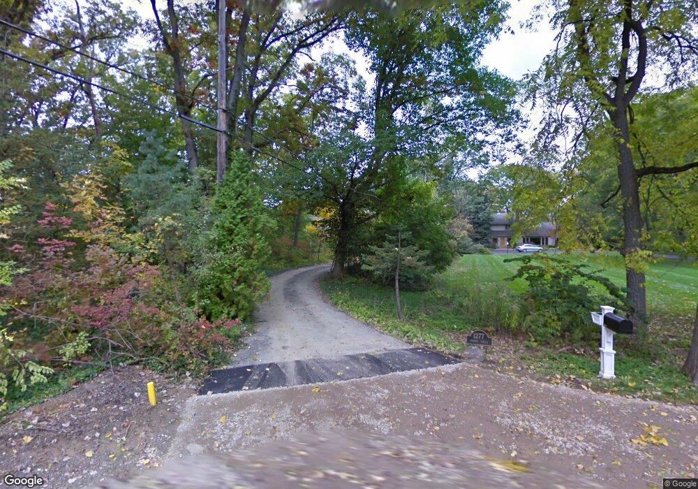
1277 Harrow Cir Bloomfield Hills, MI 48304
Estimated Value: $704,000 - $909,000
3
Beds
3
Baths
1,972
Sq Ft
$392/Sq Ft
Est. Value
About This Home
This home is located at 1277 Harrow Cir, Bloomfield Hills, MI 48304 and is currently estimated at $772,627, approximately $391 per square foot. 1277 Harrow Cir is a home located in Oakland County with nearby schools including Harlan Elementary School, Ernest W. Seaholm High School, and Roeper City and Country Upper.
Ownership History
Date
Name
Owned For
Owner Type
Purchase Details
Closed on
Jun 28, 2001
Sold by
Cranbrook Educational Co
Bought by
Bernstein Marty L
Current Estimated Value
Home Financials for this Owner
Home Financials are based on the most recent Mortgage that was taken out on this home.
Original Mortgage
$600,000
Outstanding Balance
$232,568
Interest Rate
7.22%
Estimated Equity
$540,059
Create a Home Valuation Report for This Property
The Home Valuation Report is an in-depth analysis detailing your home's value as well as a comparison with similar homes in the area
Home Values in the Area
Average Home Value in this Area
Purchase History
| Date | Buyer | Sale Price | Title Company |
|---|---|---|---|
| Bernstein Marty L | -- | -- |
Source: Public Records
Mortgage History
| Date | Status | Borrower | Loan Amount |
|---|---|---|---|
| Open | Bernstein Marty L | $600,000 |
Source: Public Records
Tax History Compared to Growth
Tax History
| Year | Tax Paid | Tax Assessment Tax Assessment Total Assessment is a certain percentage of the fair market value that is determined by local assessors to be the total taxable value of land and additions on the property. | Land | Improvement |
|---|---|---|---|---|
| 2024 | $5,344 | $337,400 | $0 | $0 |
| 2023 | $5,128 | $330,820 | $0 | $0 |
| 2022 | $8,681 | $315,770 | $0 | $0 |
| 2021 | $8,753 | $296,840 | $0 | $0 |
| 2020 | $4,926 | $283,260 | $0 | $0 |
| 2019 | $8,740 | $306,910 | $0 | $0 |
| 2018 | $8,674 | $302,780 | $0 | $0 |
| 2017 | $8,669 | $295,260 | $0 | $0 |
| 2016 | $8,716 | $280,870 | $0 | $0 |
| 2015 | -- | $271,970 | $0 | $0 |
| 2014 | -- | $227,860 | $0 | $0 |
| 2011 | -- | $242,880 | $0 | $0 |
Source: Public Records
Map
Nearby Homes
- 5554 Pine Brooke Ct
- 1330 Oxford Rd
- 654 Shepardbush St
- 680 Shepardbush St
- 1111 N Old Woodward Ave Unit 4
- 1111 N Old Woodward Ave Unit 26
- 1115 N Old Woodward #76 Ave
- 1115 N Old Woodward Ave Unit 52
- 1115 N Old Woodward Ave Unit 61
- 488 Vinewood Ave
- 0000 Brookdale Rd
- 667 Oak Ave
- 928 Poppleton St
- 1333 N Adams Rd
- 549 N Old Woodward Ave
- 777 Kensington Ln
- 1295 Lakeside Dr
- 1030 Lakeside Dr
- 1551 Lakeside Dr
- 750 Hazelwood St
- 205 Harrow Cir
- 1255 Harrow Cir
- 225 Harrow Cir
- 1225 Harrow Cir
- 111 Manor Rd
- 1231 Harrow Cir
- 5600 Brookdale Rd Unit Bldg-Unit
- 5600 Brookdale Rd
- 240 Manor Rd
- 1230 Harrow Cir
- 123 Manor Rd
- 5570 Brookdale Rd
- 1205 Harrow Cir
- 5594 Pine Brooke Ct
- 245 Harrow Cir
- 98 Manor Rd
- 230 W Quarton Rd
- 1175 Harrow Cir
- 5584 Pine Brooke Ct
- 96 Manor Ct