1277 Highway 36 E Barnesville, GA 30204
Estimated Value: $304,000 - $1,595,000
3
Beds
2
Baths
1,296
Sq Ft
$595/Sq Ft
Est. Value
About This Home
This home is located at 1277 Highway 36 E, Barnesville, GA 30204 and is currently estimated at $770,888, approximately $594 per square foot. 1277 Highway 36 E is a home located in Lamar County with nearby schools including Lamar County Primary School, Lamar County Elementary School, and Lamar County Middle School.
Ownership History
Date
Name
Owned For
Owner Type
Purchase Details
Closed on
Jan 5, 2015
Sold by
Thompson Charles E
Bought by
Hall Mark A and Hall Clint J
Current Estimated Value
Purchase Details
Closed on
May 13, 2014
Bought by
Thompson Charles E
Purchase Details
Closed on
Mar 13, 2013
Sold by
Branch Banking & Trust Co
Bought by
Thompson Charles E
Purchase Details
Closed on
Jan 2, 2013
Sold by
Chapman Michael
Bought by
Branch Banking & Trust Co
Purchase Details
Closed on
Dec 10, 1999
Sold by
Chapman Michael
Bought by
Chapman Betty Ann
Create a Home Valuation Report for This Property
The Home Valuation Report is an in-depth analysis detailing your home's value as well as a comparison with similar homes in the area
Purchase History
| Date | Buyer | Sale Price | Title Company |
|---|---|---|---|
| Hall Mark A | $420,000 | -- | |
| Thompson Charles E | -- | -- | |
| Thompson Charles E | $46,550 | -- | |
| Branch Banking & Trust Co | -- | -- | |
| Chapman Betty Ann | -- | -- |
Source: Public Records
Tax History
| Year | Tax Paid | Tax Assessment Tax Assessment Total Assessment is a certain percentage of the fair market value that is determined by local assessors to be the total taxable value of land and additions on the property. | Land | Improvement |
|---|---|---|---|---|
| 2025 | $1,951 | $208,932 | $167,848 | $41,084 |
| 2024 | $1,832 | $201,072 | $167,848 | $33,224 |
| 2023 | $1,922 | $201,072 | $167,848 | $33,224 |
| 2022 | $1,866 | $180,505 | $149,121 | $31,384 |
| 2021 | $1,782 | $135,593 | $110,749 | $24,844 |
| 2020 | $1,810 | $142,155 | $118,781 | $23,374 |
| 2019 | $1,787 | $142,155 | $118,781 | $23,374 |
| 2018 | $1,689 | $142,155 | $118,781 | $23,374 |
| 2017 | $1,655 | $142,155 | $118,781 | $23,374 |
| 2016 | $1,631 | $142,155 | $118,781 | $23,374 |
| 2015 | $1,605 | $142,155 | $118,781 | $23,374 |
| 2014 | $1,316 | $142,155 | $118,781 | $23,374 |
| 2013 | -- | $54,301 | $22,352 | $31,948 |
Source: Public Records
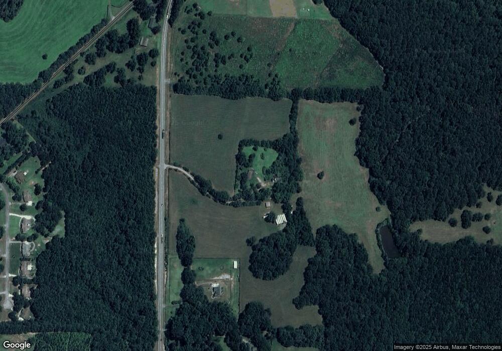
Map
Nearby Homes
- 654 Liberty Hill Rd
- 787 Silver Dollar Rd
- 218 City Pond Rd
- LOT 112 Cole Forest Blvd
- 0 Savannah Way Unit 10672993
- 103 Mcginnis Glen
- 307 Weldon Lake Rd
- 926 Silver Dollar Rd
- 206 Cole Forest Blvd
- 225 Cole Forest Blvd
- 278 Cole Forest Blvd
- 151 Evans Rd
- 277 Cole Forest Blvd
- LOT 1 Mathews Rd
- LOT 2 Mathews Rd
- 194 McKneely Rd
- 166 Mathews Rd
- 162 Mathews Rd
- 1845 Georgia 36
- 104 Savannah Way
- 1277 Highway 36 E
- 1259 Highway 36 E
- 0 Georgia 36
- 1249 Highway 36 E
- 0 Hwy 36 E Unit 3069265
- 0 Hwy 36 E Unit 3068832
- 0 Hwy 36 E Unit 3212270
- 0 Hwy 36 E Unit 10075448
- 0 Hwy 36 E Unit 20014189
- 0 Hwy 36 E Unit 6592633
- 735 Liberty Hill Rd
- 1237 Highway 36 E
- LOT 5 Hwy 36
- LOT 3 Hwy 36
- LOT 4 Hwy 36
- LOT 1 Hwy 36
- LOT 2 Hwy 36
- 114 Craftsman Way
- 110 Craftsman Way
- 118 Craftsman Way
Your Personal Tour Guide
Ask me questions while you tour the home.