1277 Lentini Dr Waynesville, NC 28785
Estimated Value: $351,000 - $514,000
3
Beds
2
Baths
1,248
Sq Ft
$338/Sq Ft
Est. Value
About This Home
This home is located at 1277 Lentini Dr, Waynesville, NC 28785 and is currently estimated at $422,106, approximately $338 per square foot. 1277 Lentini Dr is a home located in Haywood County with nearby schools including Jonathan Valley Elementary School, Waynesville Middle, and Tuscola High.
Ownership History
Date
Name
Owned For
Owner Type
Purchase Details
Closed on
Nov 28, 2005
Sold by
Wise William
Bought by
Wise Judy K
Current Estimated Value
Home Financials for this Owner
Home Financials are based on the most recent Mortgage that was taken out on this home.
Original Mortgage
$147,000
Interest Rate
5%
Mortgage Type
New Conventional
Create a Home Valuation Report for This Property
The Home Valuation Report is an in-depth analysis detailing your home's value as well as a comparison with similar homes in the area
Home Values in the Area
Average Home Value in this Area
Purchase History
| Date | Buyer | Sale Price | Title Company |
|---|---|---|---|
| Wise Judy K | -- | None Available |
Source: Public Records
Mortgage History
| Date | Status | Borrower | Loan Amount |
|---|---|---|---|
| Closed | Wise Judy K | $147,000 |
Source: Public Records
Tax History Compared to Growth
Tax History
| Year | Tax Paid | Tax Assessment Tax Assessment Total Assessment is a certain percentage of the fair market value that is determined by local assessors to be the total taxable value of land and additions on the property. | Land | Improvement |
|---|---|---|---|---|
| 2025 | -- | $202,700 | $30,400 | $172,300 |
| 2024 | $1,416 | $202,700 | $30,400 | $172,300 |
| 2023 | $1,385 | $202,700 | $30,400 | $172,300 |
| 2022 | $1,385 | $202,700 | $30,400 | $172,300 |
| 2021 | $1,385 | $202,700 | $30,400 | $172,300 |
| 2020 | $1,211 | $160,600 | $30,400 | $130,200 |
| 2019 | $1,216 | $160,600 | $30,400 | $130,200 |
| 2018 | $1,216 | $160,600 | $30,400 | $130,200 |
| 2017 | $1,216 | $160,600 | $0 | $0 |
| 2016 | $1,237 | $168,700 | $0 | $0 |
| 2015 | $1,237 | $168,700 | $0 | $0 |
| 2014 | $1,123 | $168,700 | $0 | $0 |
Source: Public Records
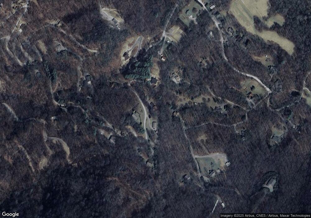
Map
Nearby Homes
- 575 Twin Brook Dr
- 3 Michael Dr Unit 3
- 000 Songbird Trail
- 806 Twin Brook Dr Unit 6A,6B,7A,7B
- 61 Calm Creek Rd
- 367 Biodome Dr
- 0 Kitty Ln Unit CAR4270624
- 8 Lots Frontier Way
- 31 Windsong Dr
- 28 Cadillac Point Rd
- 80 Kitty Ln
- 30 Cadillac Pointe Unit 30
- 30 Cadillac Pointe
- Lot 12 Roselyn Park
- 505 Middle Top Loop
- 574 Leatherwood Dr
- Lot 58 Turn About Ct
- Lot #55 Turn-A-bout Ct Unit Lot 55
- 00 Buckeye Dr Unit 35
- 54 Turn About Ct
- 1333 Lentini Dr
- 1362 Lentini Dr
- 470 Twin Brook Dr
- 1221 Lentini Dr
- 101 Newkirk Rd
- B2 Twin Brook Dr
- 1385 Lentini Dr
- 1268 Lentini Dr
- 1073 Lentini Dr
- 1465 Lentini Dr
- 1190 Lentini Dr
- 29 Newkirk Rd
- 162 Twin Brook Dr
- 1069 Lentini Dr
- Twin Brook Dr Unit 10A NCM593924
- Twin Brook Dr Unit 10A
- 94 Michael Dr
- 590 Twin Brook Dr
- 10 Twin Brook Dr Unit 10A
- 00 Twin Brook Dr Unit 2