Estimated Value: $652,632 - $724,000
3
Beds
3
Baths
1,876
Sq Ft
$367/Sq Ft
Est. Value
About This Home
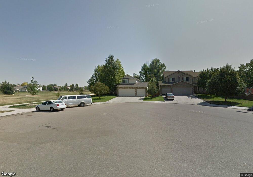
This home is located at 1277 N Davenport Ct, Erie, CO 80516 and is currently estimated at $689,158, approximately $367 per square foot. 1277 N Davenport Ct is a home located in Boulder County with nearby schools including Erie Elementary School, Erie Middle School, and Erie High School.
Ownership History
Date
Name
Owned For
Owner Type
Purchase Details
Closed on
Nov 18, 2021
Sold by
Chandler Peter B and Chandler Jerilyn W
Bought by
Chandler Peter B and Chandler Jerilyn W
Current Estimated Value
Purchase Details
Closed on
Dec 23, 2020
Sold by
Chandler Peter B and Chandler Jerilyn W
Bought by
Chandler Peter B and Chandler Jerilyn W
Home Financials for this Owner
Home Financials are based on the most recent Mortgage that was taken out on this home.
Original Mortgage
$338,051
Outstanding Balance
$245,442
Interest Rate
2.71%
Mortgage Type
New Conventional
Estimated Equity
$443,716
Purchase Details
Closed on
Aug 23, 2000
Sold by
Melody Homes Inc
Bought by
Chandler Peter B
Home Financials for this Owner
Home Financials are based on the most recent Mortgage that was taken out on this home.
Original Mortgage
$148,900
Interest Rate
8.15%
Create a Home Valuation Report for This Property
The Home Valuation Report is an in-depth analysis detailing your home's value as well as a comparison with similar homes in the area
Home Values in the Area
Average Home Value in this Area
Purchase History
| Date | Buyer | Sale Price | Title Company |
|---|---|---|---|
| Chandler Peter B | -- | None Available | |
| Chandler Peter B | -- | Closing Usa Llc | |
| Chandler Peter B | $228,909 | Land Title |
Source: Public Records
Mortgage History
| Date | Status | Borrower | Loan Amount |
|---|---|---|---|
| Open | Chandler Peter B | $338,051 | |
| Previous Owner | Chandler Peter B | $148,900 |
Source: Public Records
Tax History Compared to Growth
Tax History
| Year | Tax Paid | Tax Assessment Tax Assessment Total Assessment is a certain percentage of the fair market value that is determined by local assessors to be the total taxable value of land and additions on the property. | Land | Improvement |
|---|---|---|---|---|
| 2025 | $3,723 | $39,438 | $11,600 | $27,838 |
| 2024 | $3,723 | $39,438 | $11,600 | $27,838 |
| 2023 | $3,681 | $39,208 | $15,410 | $27,483 |
| 2022 | $2,907 | $31,511 | $9,716 | $21,795 |
| 2021 | $2,959 | $32,418 | $9,996 | $22,422 |
| 2020 | $2,716 | $30,402 | $6,221 | $24,181 |
| 2019 | $3,542 | $30,402 | $6,221 | $24,181 |
| 2018 | $3,218 | $27,569 | $8,784 | $18,785 |
| 2017 | $3,072 | $30,479 | $9,711 | $20,768 |
| 2016 | $3,059 | $26,801 | $9,074 | $17,727 |
| 2015 | $2,936 | $20,521 | $9,234 | $11,287 |
| 2014 | $2,298 | $20,521 | $9,234 | $11,287 |
Source: Public Records
Map
Nearby Homes
- 1309 Banner Cir
- 1376 Banner Cir
- 1475 Davis Ct
- 1166 St John St
- 1020 Village Cir Unit 1014
- 1366 Padfield Place
- 1183 Richards Ct
- 881 Meadowlark Dr
- 890 Meadowlark Dr
- 800 Meadowlark Dr
- 885 Delechant Dr
- 740 Meadowlark Dr
- 11724 Kenosha Rd
- 785 Delechant Dr
- 11880 Juniper St
- 4292 N 119th St
- 787 Turner St
- 781 Turner St
- 12640 Jay Rd
- 745 Turner St
- 1265 N Davenport Ct
- 1262 N Egrew Ct
- 1250 N Egrew Ct
- 1251 N Davenport Ct
- 1263 N Egrew Ct
- 1238 N Egrew Ct
- 1239 N Davenport Ct
- 1278 N Davenport Ct
- 1266 N Davenport Ct
- 1224 N Egrew Ct
- 1227 N Davenport Ct
- 1252 N Davenport Ct
- 1251 N Egrew Ct
- 1240 N Davenport Ct
- 1333 Flannagan Ct
- 1225 N Egrew Ct
- 1212 N Egrew Ct
- 1215 N Davenport Ct
- 1239 N Egrew Ct
- 1249 Banner Cir