Estimated Value: $258,000 - $371,356
3
Beds
3
Baths
2,979
Sq Ft
$105/Sq Ft
Est. Value
About This Home
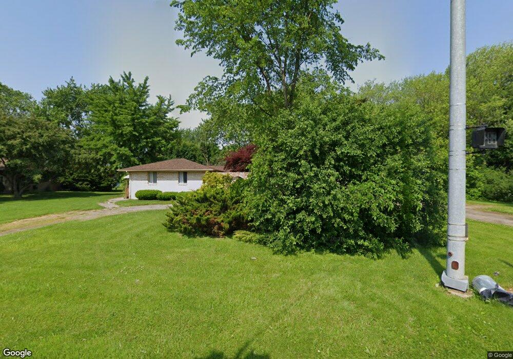
This home is located at 1277 N Linden Rd, Flint, MI 48532 and is currently estimated at $311,589, approximately $104 per square foot. 1277 N Linden Rd is a home located in Genesee County with nearby schools including Carman-Ainsworth High School, Genesee STEM Academy, and Linden Charter Academy.
Ownership History
Date
Name
Owned For
Owner Type
Purchase Details
Closed on
Jun 22, 2021
Sold by
Phillips Harvey
Bought by
Dantzler Kimberly Joyce
Current Estimated Value
Purchase Details
Closed on
Jan 23, 2013
Sold by
Phillips Harvey L
Bought by
Phillips Gloria J
Purchase Details
Closed on
Feb 5, 2010
Sold by
Phillips Gloria J
Bought by
Phillips Gloria J and Phillips Harvey
Purchase Details
Closed on
Jan 23, 2008
Sold by
Harden Bettie L and Gurley Wilbert M
Bought by
Household Finance Corp Iii
Purchase Details
Closed on
Jun 30, 2003
Sold by
Perez Jorge
Bought by
Harden Bettie L
Create a Home Valuation Report for This Property
The Home Valuation Report is an in-depth analysis detailing your home's value as well as a comparison with similar homes in the area
Home Values in the Area
Average Home Value in this Area
Purchase History
| Date | Buyer | Sale Price | Title Company |
|---|---|---|---|
| Dantzler Kimberly Joyce | -- | None Available | |
| Phillips Gloria J | -- | None Available | |
| Phillips Gloria J | -- | None Available | |
| Household Finance Corp Iii | $136,013 | None Available | |
| Harden Bettie L | -- | -- |
Source: Public Records
Tax History Compared to Growth
Tax History
| Year | Tax Paid | Tax Assessment Tax Assessment Total Assessment is a certain percentage of the fair market value that is determined by local assessors to be the total taxable value of land and additions on the property. | Land | Improvement |
|---|---|---|---|---|
| 2025 | $8,863 | $167,300 | $0 | $0 |
| 2024 | $6,117 | $169,500 | $0 | $0 |
| 2023 | $5,781 | $161,000 | $0 | $0 |
| 2022 | $4,969 | $136,700 | $0 | $0 |
| 2021 | $2,435 | $123,800 | $0 | $0 |
| 2020 | $2,017 | $118,900 | $0 | $0 |
| 2019 | $1,988 | $115,700 | $0 | $0 |
| 2018 | $3,555 | $106,100 | $0 | $0 |
| 2017 | $3,419 | $106,100 | $0 | $0 |
| 2016 | $3,514 | $103,700 | $0 | $0 |
| 2015 | $3,339 | $89,000 | $0 | $0 |
| 2014 | $1,981 | $84,900 | $0 | $0 |
| 2012 | -- | $79,800 | $79,800 | $0 |
Source: Public Records
Map
Nearby Homes
- 1159 N Linden Rd
- 5104 Shady Oak Trail
- 5021 Forest Side Dr
- 1246 Dyemeadow Ln
- 1090 Cabot Dr
- 1391 Dye Krest Cir
- 2008 Beekman Ct
- 1194 Woodkrest Dr
- 5297 Oaktree Dr
- 1193 Normandy Terrace Dr
- 2174 Mill Rd
- 2 Charter Dr
- 5551 Sugar Bush Ln
- 5325 N Dyewood Dr
- 1058 Cora Dr
- 5411 River Meadow Blvd
- 1068 S Graham Rd
- 5442 Meadow Creek Ct
- 2218 Disch St
- 4022 Beecher Rd
- 1263 N Linden Rd
- 5015 Shady Oak Trail
- 5029 Shady Oak Trail
- 1262 Heatherwoode Rd
- 1268 N Linden Rd
- 5037 Shady Oak Trail
- 1247 N Linden Rd
- 1262 N Linden Rd
- 1270 Heatherwoode Rd
- 5014 Shady Oak Trail
- 1244 Heatherwoode Rd
- 5047 Shady Oak Trail
- 1246 N Linden Rd
- 5032 Shady Oak Trail
- 1280 Heatherwoode Rd
- 5057 Shady Oak Trail
- 1261 Heatherwoode Rd
- 1325 N Linden Rd
- 5042 Shady Oak Trail
- 1223 N Linden Rd