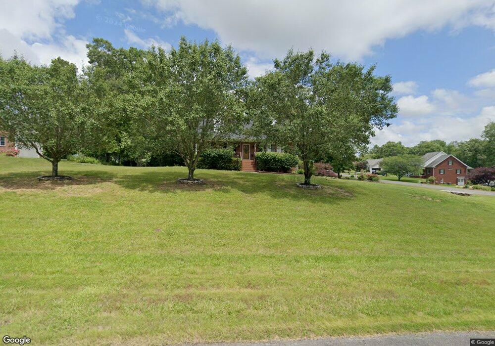
1277 Stonegate Dr Winston Salem, NC 27107
Estimated Value: $303,000 - $477,000
3
Beds
2
Baths
3,460
Sq Ft
$106/Sq Ft
Est. Value
About This Home
This home is located at 1277 Stonegate Dr, Winston Salem, NC 27107 and is currently estimated at $366,549, approximately $105 per square foot. 1277 Stonegate Dr is a home located in Davidson County with nearby schools including Wallburg Elementary School, Oak Grove Middle School, and Oak Grove High School.
Ownership History
Date
Name
Owned For
Owner Type
Purchase Details
Closed on
Dec 12, 2012
Sold by
Seward Jonny David
Bought by
Seward Deborah C
Current Estimated Value
Home Financials for this Owner
Home Financials are based on the most recent Mortgage that was taken out on this home.
Original Mortgage
$153,000
Interest Rate
3.35%
Mortgage Type
New Conventional
Purchase Details
Closed on
Aug 14, 2003
Sold by
Hutchins Jackie L and Hutchins Brenda G
Bought by
Seward Deborah C
Purchase Details
Closed on
Oct 12, 1999
Bought by
Hutchins Jackie L and Hutchins Brenda G
Create a Home Valuation Report for This Property
The Home Valuation Report is an in-depth analysis detailing your home's value as well as a comparison with similar homes in the area
Home Values in the Area
Average Home Value in this Area
Purchase History
| Date | Buyer | Sale Price | Title Company |
|---|---|---|---|
| Seward Deborah C | -- | None Available | |
| Seward Deborah C | $186,000 | -- | |
| Hutchins Jackie L | $28,000 | -- |
Source: Public Records
Mortgage History
| Date | Status | Borrower | Loan Amount |
|---|---|---|---|
| Previous Owner | Seward Deborah C | $153,000 |
Source: Public Records
Tax History Compared to Growth
Tax History
| Year | Tax Paid | Tax Assessment Tax Assessment Total Assessment is a certain percentage of the fair market value that is determined by local assessors to be the total taxable value of land and additions on the property. | Land | Improvement |
|---|---|---|---|---|
| 2025 | $1,289 | $195,250 | $0 | $0 |
| 2024 | $1,284 | $195,250 | $0 | $0 |
| 2023 | $1,303 | $195,250 | $0 | $0 |
| 2022 | $1,284 | $195,250 | $0 | $0 |
| 2021 | $1,231 | $195,250 | $0 | $0 |
| 2020 | $1,131 | $179,450 | $0 | $0 |
| 2019 | $1,148 | $179,450 | $0 | $0 |
| 2018 | $1,148 | $179,450 | $0 | $0 |
| 2017 | $1,148 | $179,450 | $0 | $0 |
| 2016 | $1,148 | $179,450 | $0 | $0 |
| 2015 | $1,148 | $179,450 | $0 | $0 |
| 2014 | $1,203 | $187,950 | $0 | $0 |
Source: Public Records
Map
Nearby Homes
- 470 Prescott Dr
- 193 Redcoat Ln
- 3775 Friendship Ledford Rd
- 213 Red Hawk Ln
- 0 Lee St
- 111 Linville Ln
- 386 Olde Lantern Dr
- 380 Olde Lantern Dr
- 387 Olde Lantern Dr
- 134 New Forest Dr
- 150 New Forest Dr
- 2847 Motsinger Rd
- 168 New Forest Dr
- 184 New Forest Dr
- 580 Tom Livengood Rd
- 2875 Motsinger Rd
- 312 Olde Lantern Dr
- 309 Olde Lantern Dr
- 298 Olde Lantern Dr
- 138 Green Forest Ct
- 1253 Stonegate Dr
- 116 Hearthstone Dr
- 1286 Stonegate Dr
- 177 Hearthstone Dr
- 142 Hearthstone Dr
- 1241 Stonegate Dr
- 1322 Stonegate Dr
- 180 Hearthstone Dr
- 1250 Stonegate Dr
- 201 Hearthstone Dr
- 1346 Stonegate Dr
- 208 Hearthstone Dr
- 1233 Stonegate Dr
- 1370 Stonegate Dr
- 1216 Stonegate Dr
- 225 Hearthstone Dr
- 155 Boulder Ct
- 240 Hearthstone Dr
- 65 Boulder Ct
- 1394 Stonegate Dr