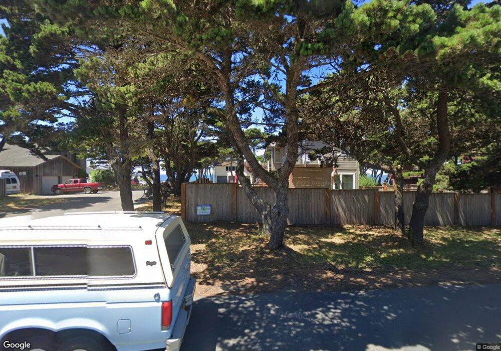
1277 Wavecrest Ln SW Bandon, OR 97411
Estimated Value: $1,861,776
3
Beds
3
Baths
3,608
Sq Ft
$516/Sq Ft
Est. Value
About This Home
This home is located at 1277 Wavecrest Ln SW, Bandon, OR 97411 and is currently estimated at $1,861,776, approximately $516 per square foot. 1277 Wavecrest Ln SW is a home located in Coos County with nearby schools including Ocean Crest Elementary School, Harbor Lights Middle School, and Bandon Senior High School.
Ownership History
Date
Name
Owned For
Owner Type
Purchase Details
Closed on
Oct 11, 2019
Sold by
Leland Franca
Bought by
Disclaimer Pratt Jacqueline Baker and James Weldon Pratt Disclaimer Trust
Current Estimated Value
Home Financials for this Owner
Home Financials are based on the most recent Mortgage that was taken out on this home.
Original Mortgage
$255,500
Outstanding Balance
$222,368
Interest Rate
3.4%
Mortgage Type
New Conventional
Estimated Equity
$1,637,134
Create a Home Valuation Report for This Property
The Home Valuation Report is an in-depth analysis detailing your home's value as well as a comparison with similar homes in the area
Home Values in the Area
Average Home Value in this Area
Purchase History
| Date | Buyer | Sale Price | Title Company |
|---|---|---|---|
| Disclaimer Pratt Jacqueline Baker | $805,500 | Ticor Title Coos Bay |
Source: Public Records
Mortgage History
| Date | Status | Borrower | Loan Amount |
|---|---|---|---|
| Open | Disclaimer Pratt Jacqueline Baker | $255,500 |
Source: Public Records
Tax History Compared to Growth
Tax History
| Year | Tax Paid | Tax Assessment Tax Assessment Total Assessment is a certain percentage of the fair market value that is determined by local assessors to be the total taxable value of land and additions on the property. | Land | Improvement |
|---|---|---|---|---|
| 2025 | $8,446 | $766,600 | -- | -- |
| 2024 | $8,355 | $744,280 | -- | -- |
| 2023 | $8,137 | $722,610 | $0 | $0 |
| 2022 | $8,169 | $701,570 | $0 | $0 |
| 2021 | $7,848 | $681,140 | $0 | $0 |
| 2020 | $7,125 | $681,140 | $0 | $0 |
| 2019 | $7,103 | $642,050 | $0 | $0 |
| 2018 | $6,679 | $623,350 | $0 | $0 |
| 2017 | $6,525 | $605,200 | $0 | $0 |
| 2016 | $6,324 | $587,580 | $0 | $0 |
| 2015 | $5,968 | $570,470 | $0 | $0 |
| 2014 | $5,968 | $553,860 | $0 | $0 |
Source: Public Records
Map
Nearby Homes
- 3145 Periwinkle Ln SW
- 636 Seacrest Dr
- 2778 Colony Cir
- 2745 Lincoln Ave SW
- 2776 Lincoln Ave
- 0 Grant Place Unit 700 333258636
- 2732 Lincoln Ave Unit 500&200
- 2653 Spinnaker Dr
- 2710 Lincoln Ave SW Unit 200
- 3230 Golf Links Rd
- 0 Whale Watch Way Unit 602 722957860
- 0 Seabird Dr Unit 20122222
- 0 Seabird Dr Unit 24126926
- 2732 Lincoln Ave SW Unit 500
- 822 Spyglass Dr
- 2669 Cedar Loop
- 2485 Beach Loop Rd
- 848 Seacrest Dr
- 937 Carter St SW
- 764 Seacrest Dr
- 1250 Tish A Tang St SW
- 1250 Tish A Tang Ln
- 1242 Wavecrest Ln SW
- 3004 Beach Loop Dr SW
- 1259 Wavecrest Ln SW
- 1275 Tish A Tang Ln
- 1247 Wavecrest Ln SW
- 1275 Sandpiper Ln SW
- 1235 Wavecrest Ln SW
- 1275 Tish A Tang St SW
- 1220 Tish-A-tang Rd SW
- 1220 Tish A Tang Ln
- 1255 Sandpiper Ln SW
- 2499 Beach Loop Dr SW
- 2990 Beach Loop Dr SW
- 3010 Beach Loop Dr SW
- 2841 Beach Loop Rd
- 1240 Sandpiper Ln SW
- 3055 Beach Loop Dr SW
- 1210 Sandpiper Ln SW