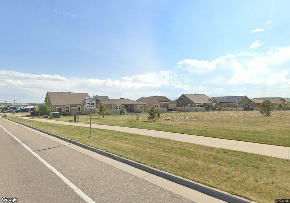
12771 Stone Valley Dr Peyton, CO 80831
Falcon NeighborhoodEstimated Value: $594,251 - $664,000
5
Beds
6
Baths
4,140
Sq Ft
$152/Sq Ft
Est. Value
About This Home
This home is located at 12771 Stone Valley Dr, Peyton, CO 80831 and is currently estimated at $629,813, approximately $152 per square foot. 12771 Stone Valley Dr is a home located in El Paso County with nearby schools including Clifford Street Elementary School, Falcon Middle School, and Falcon High School.
Ownership History
Date
Name
Owned For
Owner Type
Purchase Details
Closed on
Aug 25, 2022
Sold by
Antony Patricia L
Bought by
Antony Patricia L and Antony Sean Orion
Current Estimated Value
Purchase Details
Closed on
Apr 28, 2020
Sold by
Roisum Thomas
Bought by
Antony Patricia L
Home Financials for this Owner
Home Financials are based on the most recent Mortgage that was taken out on this home.
Original Mortgage
$348,000
Interest Rate
3.3%
Mortgage Type
New Conventional
Purchase Details
Closed on
Jan 10, 2017
Sold by
Saint Aubyn Homes Llc
Bought by
Roisum Thomas and Grime Heather
Home Financials for this Owner
Home Financials are based on the most recent Mortgage that was taken out on this home.
Original Mortgage
$415,500
Interest Rate
4.13%
Mortgage Type
New Conventional
Create a Home Valuation Report for This Property
The Home Valuation Report is an in-depth analysis detailing your home's value as well as a comparison with similar homes in the area
Home Values in the Area
Average Home Value in this Area
Purchase History
| Date | Buyer | Sale Price | Title Company |
|---|---|---|---|
| Antony Patricia L | -- | -- | |
| Antony Patricia L | $464,000 | Empire Title Co Springs Llc | |
| Roisum Thomas | $415,500 | Heritage Title Co |
Source: Public Records
Mortgage History
| Date | Status | Borrower | Loan Amount |
|---|---|---|---|
| Previous Owner | Antony Patricia L | $348,000 | |
| Previous Owner | Roisum Thomas | $415,500 |
Source: Public Records
Tax History Compared to Growth
Tax History
| Year | Tax Paid | Tax Assessment Tax Assessment Total Assessment is a certain percentage of the fair market value that is determined by local assessors to be the total taxable value of land and additions on the property. | Land | Improvement |
|---|---|---|---|---|
| 2025 | $4,201 | $47,100 | -- | -- |
| 2024 | $4,067 | $44,670 | $7,200 | $37,470 |
| 2022 | $3,099 | $30,710 | $5,910 | $24,800 |
| 2021 | $3,212 | $31,590 | $6,080 | $25,510 |
| 2020 | $3,165 | $28,860 | $4,950 | $23,910 |
| 2019 | $3,147 | $28,860 | $4,950 | $23,910 |
| 2018 | $2,824 | $25,630 | $5,040 | $20,590 |
| 2017 | $2,671 | $25,630 | $5,040 | $20,590 |
| 2016 | $3,005 | $29,530 | $5,570 | $23,960 |
| 2015 | $254 | $2,490 | $2,490 | $0 |
Source: Public Records
Map
Nearby Homes
- 10089 Golf Crest Dr
- 12780 Enclave Scenic Dr
- 12860 Stone Valley Dr
- 12868 Stone Valley Dr
- 10223 Capital Peak Way
- 12459 Handles Peak Way
- 12846 Granite Ridge Dr
- 10368 Mount Evans Dr
- 10398 Mount Evans Dr
- 9805 Granite Park Ln
- 9927 Hidden Ranch Ct
- 10388 Mount Wilson Place
- 9891 Hidden Ranch Ct
- 13329 Park Meadows Dr
- 9818 Hidden Ranch Ct
- 13256 Park Meadows Dr
- 12646 Windingwalk Dr
- 12718 Windingwalk Dr
- 13108 Stoney Meadows Way
- 13148 Park Meadows Dr
- 12755 Stone Valley Dr
- 12747 Stone Valley Dr
- 12772 Stone Valley Dr
- 12731 Stone Valley Dr
- 12764 Stone Valley Dr
- 12780 Stone Valley Dr
- 12787 Stone Valley Dr
- 12756 Stone Valley Dr
- 12788 Stone Valley Dr
- 12748 Stone Valley Dr
- 12715 Stone Valley Dr
- 10185 Golf Crest Dr
- 10173 Golf Crest Dr
- 10161 Golf Crest Dr
- 12707 Stone Valley Dr
- 12732 Stone Valley Dr
- 10149 Golf Crest Dr
- 12724 Stone Valley Dr
- 10137 Golf Crest Dr
- 12716 Stone Valley Dr