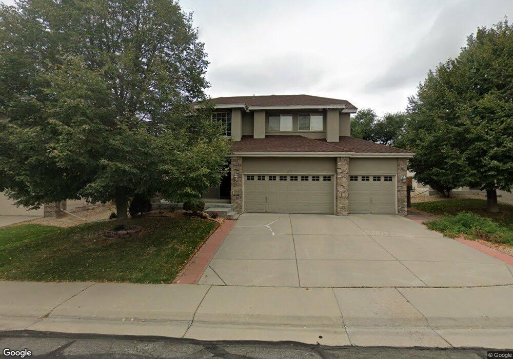
12773 Dexter Ct Thornton, CO 80241
Northaven NeighborhoodEstimated Value: $533,000 - $584,000
3
Beds
3
Baths
1,953
Sq Ft
$284/Sq Ft
Est. Value
About This Home
This home is located at 12773 Dexter Ct, Thornton, CO 80241 and is currently estimated at $555,435, approximately $284 per square foot. 12773 Dexter Ct is a home located in Adams County with nearby schools including Skyview Elementary School, Shadow Ridge Middle School, and Horizon High School.
Ownership History
Date
Name
Owned For
Owner Type
Purchase Details
Closed on
Sep 9, 2009
Sold by
Lead Properties Iv Llc
Bought by
Wong Wing B and Wong Chan J
Current Estimated Value
Home Financials for this Owner
Home Financials are based on the most recent Mortgage that was taken out on this home.
Original Mortgage
$192,000
Outstanding Balance
$125,631
Interest Rate
5.2%
Mortgage Type
New Conventional
Estimated Equity
$429,804
Purchase Details
Closed on
Sep 25, 2002
Sold by
D R Horton Inc
Bought by
Branham Todd A and Branham Tonya M
Home Financials for this Owner
Home Financials are based on the most recent Mortgage that was taken out on this home.
Original Mortgage
$247,151
Interest Rate
6.2%
Mortgage Type
FHA
Create a Home Valuation Report for This Property
The Home Valuation Report is an in-depth analysis detailing your home's value as well as a comparison with similar homes in the area
Home Values in the Area
Average Home Value in this Area
Purchase History
| Date | Buyer | Sale Price | Title Company |
|---|---|---|---|
| Wong Wing B | $240,000 | Ticor Title | |
| Branham Todd A | $251,030 | -- |
Source: Public Records
Mortgage History
| Date | Status | Borrower | Loan Amount |
|---|---|---|---|
| Open | Wong Wing B | $192,000 | |
| Previous Owner | Branham Todd A | $247,151 |
Source: Public Records
Tax History Compared to Growth
Tax History
| Year | Tax Paid | Tax Assessment Tax Assessment Total Assessment is a certain percentage of the fair market value that is determined by local assessors to be the total taxable value of land and additions on the property. | Land | Improvement |
|---|---|---|---|---|
| 2024 | $2,857 | $32,760 | $6,880 | $25,880 |
| 2023 | $2,828 | $38,090 | $6,430 | $31,660 |
| 2022 | $2,310 | $27,920 | $6,600 | $21,320 |
| 2021 | $2,387 | $27,920 | $6,600 | $21,320 |
| 2020 | $2,944 | $26,390 | $6,790 | $19,600 |
| 2019 | $2,950 | $26,390 | $6,790 | $19,600 |
| 2018 | $2,811 | $24,430 | $6,700 | $17,730 |
| 2017 | $2,556 | $24,430 | $6,700 | $17,730 |
| 2016 | $2,231 | $20,760 | $3,980 | $16,780 |
| 2015 | $2,228 | $20,760 | $3,980 | $16,780 |
| 2014 | -- | $18,700 | $3,420 | $15,280 |
Source: Public Records
Map
Nearby Homes
- 12780 Elm St
- 12865 Clermont St
- 12943 Dexter Way
- 12698 Fairfax St
- 12694 Fairfax St
- 13022 Bellaire St
- 12579 Forest Dr
- 5341 E 129th Way
- 12530 Forest Dr
- 3850 E 128th Way
- 12506 Forest Dr
- 12981 Ash St
- 12814 Jackson Cir
- 12711 Colorado Blvd Unit 914
- 12711 Colorado Blvd Unit 714
- 5581 Hudson Cir
- 13028 Grape Ct
- 5628 Hudson Cir
- 13263 Clermont Cir
- 12554 Hudson Ct
- 12763 Dexter Ct
- 12783 Dexter Ct
- 12753 Dexter Ct
- 12782 Dexter Ct
- 12785 Dexter Ct
- 4707 E 127th Ave
- 12743 Dexter Ct
- 12789 Dexter Ct
- 12784 Dexter Ct
- 12793 Dexter Ct
- 4717 E 127th Ave
- 12733 Dexter Ct
- 12792 Dexter Ct
- 4706 E 127th Ave
- 4727 E 127th Ave
- 12723 Dexter Ct
- 4716 E 127th Ave
- 12794 Dexter Ct
- 12799 Dexter Ct
- 4640 E 128th Place