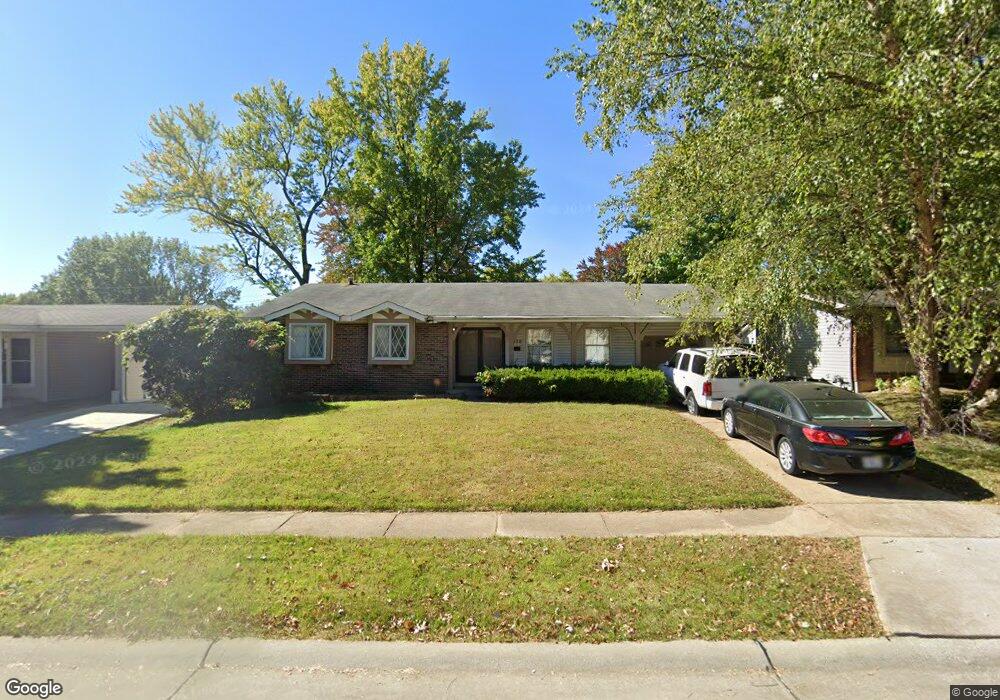
1278 Brenthaven Ln Florissant, MO 63031
Estimated Value: $173,000 - $204,000
3
Beds
2
Baths
1,197
Sq Ft
$157/Sq Ft
Est. Value
About This Home
This home is located at 1278 Brenthaven Ln, Florissant, MO 63031 and is currently estimated at $187,911, approximately $156 per square foot. 1278 Brenthaven Ln is a home located in St. Louis County with nearby schools including Cold Water Elementary School, North Middle School, and Hazelwood Central High School.
Ownership History
Date
Name
Owned For
Owner Type
Purchase Details
Closed on
Jul 7, 2009
Sold by
Sutton Funding Llc
Bought by
Coulter Donald R
Current Estimated Value
Home Financials for this Owner
Home Financials are based on the most recent Mortgage that was taken out on this home.
Original Mortgage
$66,500
Interest Rate
5.41%
Mortgage Type
Purchase Money Mortgage
Purchase Details
Closed on
Feb 3, 2009
Sold by
Mcelwarth Allen Keith and Mcelwrath Karen
Bought by
Sutton Funding Llc
Create a Home Valuation Report for This Property
The Home Valuation Report is an in-depth analysis detailing your home's value as well as a comparison with similar homes in the area
Home Values in the Area
Average Home Value in this Area
Purchase History
| Date | Buyer | Sale Price | Title Company |
|---|---|---|---|
| Coulter Donald R | $70,000 | Mokan Title | |
| Sutton Funding Llc | $81,566 | Mokan |
Source: Public Records
Mortgage History
| Date | Status | Borrower | Loan Amount |
|---|---|---|---|
| Previous Owner | Coulter Donald R | $66,500 |
Source: Public Records
Tax History Compared to Growth
Tax History
| Year | Tax Paid | Tax Assessment Tax Assessment Total Assessment is a certain percentage of the fair market value that is determined by local assessors to be the total taxable value of land and additions on the property. | Land | Improvement |
|---|---|---|---|---|
| 2025 | $2,657 | $33,740 | $5,430 | $28,310 |
| 2024 | $2,657 | $30,400 | $3,120 | $27,280 |
| 2023 | $2,653 | $30,400 | $3,120 | $27,280 |
| 2022 | $2,306 | $23,510 | $4,050 | $19,460 |
| 2021 | $2,273 | $23,510 | $4,050 | $19,460 |
| 2020 | $2,269 | $21,850 | $3,570 | $18,280 |
| 2019 | $2,234 | $21,850 | $3,570 | $18,280 |
| 2018 | $2,061 | $18,520 | $2,430 | $16,090 |
| 2017 | $2,059 | $18,520 | $2,430 | $16,090 |
| 2016 | $1,996 | $17,710 | $2,430 | $15,280 |
| 2015 | $1,954 | $17,710 | $2,430 | $15,280 |
| 2014 | $1,759 | $16,400 | $3,330 | $13,070 |
Source: Public Records
Map
Nearby Homes
- 1245 Leisure Dr
- 2455 S Park Ln
- 2465 Grants Pkwy
- 2530 Grants Pkwy
- 1290 Jackson Ln
- 2255 Collier Dr
- 2186 Aristocrat Dr
- 1920 Shackelford Rd
- 2906 Russet Ct
- 2040 Splendor Dr
- 1831 New Sun Ct Unit 5
- 2540 Courtyard Place
- 1830 New Sun Ct
- 2916 Corn Silk Ct
- 2112 New Sun Dr
- 605 Sherwood Dr
- 665 Redwing Dr
- 1863 High Sun Dr Unit 51863
- 2048 New Sun Dr
- 2932 Sherwood Dr
- 1268 Brenthaven Ln
- 1288 Brenthaven Ln
- 1277 Springhurst Dr
- 1287 Springhurst Dr
- 1298 Brenthaven Ln
- 1267 Springhurst Dr
- 1258 Brenthaven Ln
- 1279 Brenthaven Ln
- 1297 Springhurst Dr
- 1289 Brenthaven Ln
- 1269 Brenthaven Ln
- 1257 Springhurst Dr
- 1308 Brenthaven Ln
- 1299 Brenthaven Ln
- 1248 Brenthaven Ln
- 1259 Brenthaven Ln
- 1307 Springhurst Dr
- 1247 Springhurst Dr
- 1309 Brenthaven Ln
- 1276 Springhurst Dr