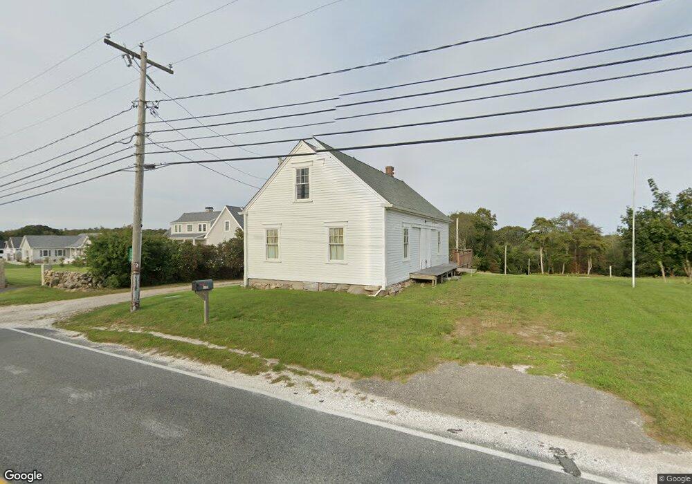
1278 Main Rd Westport, MA 02790
Westport Point NeighborhoodEstimated Value: $1,015,000 - $1,470,000
Studio
--
Bath
3,816
Sq Ft
$336/Sq Ft
Est. Value
About This Home
This home is located at 1278 Main Rd, Westport, MA 02790 and is currently estimated at $1,282,873, approximately $336 per square foot. 1278 Main Rd is a home with nearby schools including Alice A. Macomber Primary School, Westport Elementary School, and Westport Middle-High School.
Create a Home Valuation Report for This Property
The Home Valuation Report is an in-depth analysis detailing your home's value as well as a comparison with similar homes in the area
Home Values in the Area
Average Home Value in this Area
Tax History
| Year | Tax Paid | Tax Assessment Tax Assessment Total Assessment is a certain percentage of the fair market value that is determined by local assessors to be the total taxable value of land and additions on the property. | Land | Improvement |
|---|---|---|---|---|
| 2025 | $7,193 | $965,500 | $239,600 | $725,900 |
| 2024 | $7,295 | $943,700 | $223,000 | $720,700 |
| 2023 | $5,923 | $725,900 | $198,300 | $527,600 |
Source: Public Records
Map
Nearby Homes
- 101 Adamsville Rd
- 7 Taber Ln
- 920 Drift Rd
- 25 Quail Trail
- 17 Quail Trail
- 923 Drift Rd
- 1 Puddingstone Cir
- 2 Olin Howland Way
- 8 Village Way
- 408 Hixbridge Rd
- 17 Robbins St
- 640 Main Rd
- 245 John Dyer Rd
- 116 Amy Hart Path
- 17 Amy Hart Path
- 1282 East Rd
- 164 Stoney Hollow Rd
- 612 Drift Rd
- 255 John Dyer Rd
- 90 Two Rod Rd
Your Personal Tour Guide
Ask me questions while you tour the home.