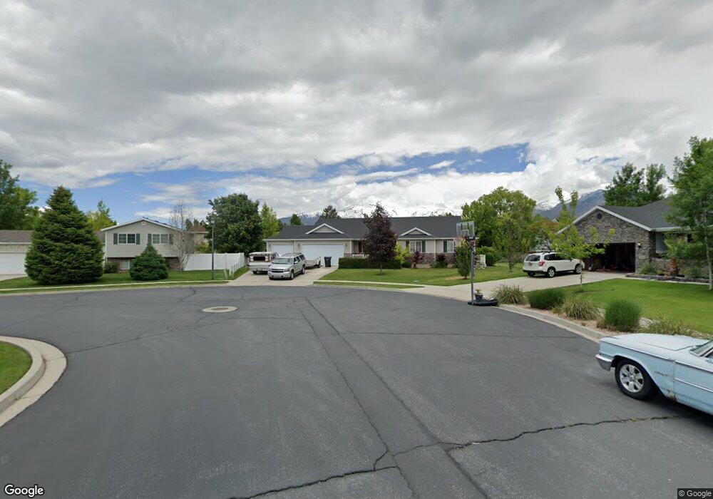
1278 N 350 W American Fork, UT 84003
Estimated Value: $616,000 - $701,190
3
Beds
3
Baths
3,648
Sq Ft
$180/Sq Ft
Est. Value
About This Home
This home is located at 1278 N 350 W, American Fork, UT 84003 and is currently estimated at $656,298, approximately $179 per square foot. 1278 N 350 W is a home located in Utah County with nearby schools including Legacy Elementary School, American Fork Junior High School, and American Fork High School.
Ownership History
Date
Name
Owned For
Owner Type
Purchase Details
Closed on
Nov 17, 2010
Sold by
Vest Kurt Veloy and Vest Family Trust
Bought by
Vest Kurt V
Current Estimated Value
Purchase Details
Closed on
Apr 26, 2005
Sold by
Vest Kurt V
Bought by
Vest Kurt Veloy
Purchase Details
Closed on
Apr 2, 2004
Sold by
Black Joshua and Black Joette
Bought by
Vest Kurt
Home Financials for this Owner
Home Financials are based on the most recent Mortgage that was taken out on this home.
Original Mortgage
$182,400
Outstanding Balance
$85,296
Interest Rate
5.57%
Mortgage Type
Purchase Money Mortgage
Estimated Equity
$571,002
Purchase Details
Closed on
Sep 16, 2002
Sold by
Salisbury Development Lc
Bought by
Black Joshua and Black Joette
Home Financials for this Owner
Home Financials are based on the most recent Mortgage that was taken out on this home.
Original Mortgage
$153,400
Interest Rate
6.24%
Create a Home Valuation Report for This Property
The Home Valuation Report is an in-depth analysis detailing your home's value as well as a comparison with similar homes in the area
Home Values in the Area
Average Home Value in this Area
Purchase History
| Date | Buyer | Sale Price | Title Company |
|---|---|---|---|
| Vest Kurt V | -- | None Available | |
| Vest Kurt Veloy | -- | -- | |
| Vest Kurt | -- | Title West Title Company | |
| Black Joshua | -- | Provo Land Title Company |
Source: Public Records
Mortgage History
| Date | Status | Borrower | Loan Amount |
|---|---|---|---|
| Open | Vest Kurt | $182,400 | |
| Previous Owner | Black Joshua | $153,400 | |
| Closed | Black Joshua | $38,350 |
Source: Public Records
Tax History Compared to Growth
Tax History
| Year | Tax Paid | Tax Assessment Tax Assessment Total Assessment is a certain percentage of the fair market value that is determined by local assessors to be the total taxable value of land and additions on the property. | Land | Improvement |
|---|---|---|---|---|
| 2025 | $2,810 | $342,100 | $252,800 | $369,200 |
| 2024 | $2,810 | $312,235 | $0 | $0 |
| 2023 | $2,598 | $306,020 | $0 | $0 |
| 2022 | $2,920 | $339,460 | $0 | $0 |
| 2021 | $2,337 | $424,300 | $143,900 | $280,400 |
| 2020 | $2,245 | $395,300 | $133,200 | $262,100 |
| 2019 | $1,982 | $361,100 | $133,200 | $227,900 |
| 2018 | $1,981 | $345,000 | $129,300 | $215,700 |
| 2017 | $1,796 | $168,795 | $0 | $0 |
| 2016 | $1,806 | $157,685 | $0 | $0 |
| 2015 | $1,814 | $150,315 | $0 | $0 |
| 2014 | $1,839 | $150,315 | $0 | $0 |
Source: Public Records
Map
Nearby Homes
- 356 W 1300 N
- 287 W 1360 N
- 1438 N 400 W
- 179 W 1290 N
- 425 W 1120 N
- 344 W 1080 N
- 471 W 1040 N
- 35 W 1350 N
- 987 N 410 W
- 984 N 300 W
- 3889 W 950 Cir N Unit 366
- 1071 Timpview Dr
- 914 N 400 W Unit A
- 9780 N 6000 W
- 9435 N Aspen Hollow Cir
- 6692 W 9770 N
- 602 W 860 N
- 5973 W 9960 N
- 3935 W 1000 N Unit 438
- 3983 W 1000 N Unit 442