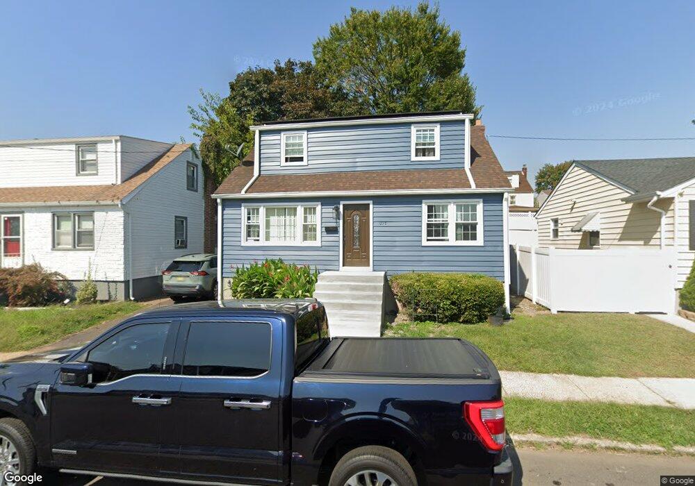
1278 State St Hillside, NJ 07205
Estimated Value: $434,280 - $549,000
--
Bed
--
Bath
1,680
Sq Ft
$298/Sq Ft
Est. Value
About This Home
This home is located at 1278 State St, Hillside, NJ 07205 and is currently estimated at $500,820, approximately $298 per square foot. 1278 State St is a home located in Union County with nearby schools including Abram P. Morris-Saybrook Elementary School, Hurden Looker School, and Ola Edwards Community School.
Ownership History
Date
Name
Owned For
Owner Type
Purchase Details
Closed on
Oct 12, 2004
Sold by
Fernandes Adelino
Bought by
Kissl Kingsford
Current Estimated Value
Purchase Details
Closed on
Jul 2, 2002
Sold by
Marmo Josephine and Iellimo Mary B
Bought by
Fernandes Adelino A and Fernandes Ingrid Psado
Home Financials for this Owner
Home Financials are based on the most recent Mortgage that was taken out on this home.
Original Mortgage
$165,851
Interest Rate
6.73%
Mortgage Type
FHA
Create a Home Valuation Report for This Property
The Home Valuation Report is an in-depth analysis detailing your home's value as well as a comparison with similar homes in the area
Home Values in the Area
Average Home Value in this Area
Purchase History
| Date | Buyer | Sale Price | Title Company |
|---|---|---|---|
| Kissl Kingsford | $262,000 | -- | |
| Fernandes Adelino A | $172,000 | Old Republic Natl Title Ins |
Source: Public Records
Mortgage History
| Date | Status | Borrower | Loan Amount |
|---|---|---|---|
| Previous Owner | Fernandes Adelino A | $165,851 |
Source: Public Records
Tax History Compared to Growth
Tax History
| Year | Tax Paid | Tax Assessment Tax Assessment Total Assessment is a certain percentage of the fair market value that is determined by local assessors to be the total taxable value of land and additions on the property. | Land | Improvement |
|---|---|---|---|---|
| 2025 | $9,879 | $119,700 | $50,400 | $69,300 |
| 2024 | $9,592 | $119,700 | $50,400 | $69,300 |
| 2023 | $9,592 | $119,700 | $50,400 | $69,300 |
| 2022 | $9,503 | $119,700 | $50,400 | $69,300 |
| 2021 | $9,441 | $119,700 | $50,400 | $69,300 |
| 2020 | $9,386 | $119,700 | $50,400 | $69,300 |
| 2019 | $9,204 | $119,700 | $50,400 | $69,300 |
| 2018 | $9,112 | $119,700 | $50,400 | $69,300 |
| 2017 | $9,057 | $119,700 | $50,400 | $69,300 |
| 2016 | $9,046 | $119,700 | $50,400 | $69,300 |
| 2015 | $8,966 | $119,700 | $50,400 | $69,300 |
| 2014 | $8,824 | $119,700 | $50,400 | $69,300 |
Source: Public Records
Map
Nearby Homes
- 155 Silver Ave
- 1282 Baker St
- 1290 Baker St
- 149 Baltimore Ave
- 220 Silver Ave
- 257 Herbert Ave
- 628 Us Highway 22 and 3
- 420 Hollywood Ave
- 105 Liberty Ct Unit 105
- 1414 Boa Place Unit 2
- 1406 Maple Ave
- 383 Conant St
- 292 Crann St
- 314 Fitzpatrick St
- 507 Locust Ave
- 393 Harvard Ave
- 346 Florence Ave
- 1451 Bond St
- 1473 Center St
- 339 Hillside Ave
- 1276 State St
- 1280 State St
- 1285 Bright St
- 159 Silver Ave
- 1290 State St
- 1285 State St
- 1283 State St
- 1287 State St
- 150 Silver Ave
- 1289 Bright St
- 154 Silver Ave
- 1292 State St
- 144 Silver Ave
- 1289 State St
- 1289 State St Unit 2
- 160 Silver Ave Unit 2
- 160 Silver Ave
- 160 Silver Ave Unit B
- 135 Silver Ave
- 140 Silver Ave