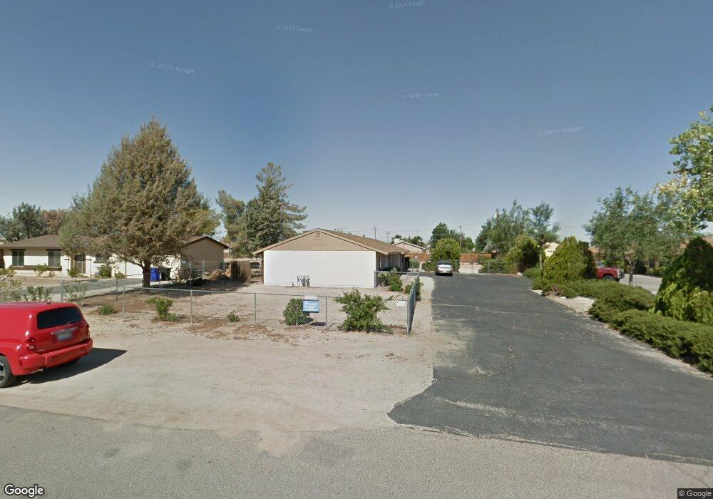
12780 Red Wing Rd Unit B Apple Valley, CA 92308
High Desert NeighborhoodEstimated Value: $278,000 - $500,000
About This Home
This home is located at 12780 Red Wing Rd Unit B, Apple Valley, CA 92308 and is currently estimated at $395,259, approximately $180 per square foot. 12780 Red Wing Rd Unit B is a home located in San Bernardino County with nearby schools including Yucca Loma Elementary School and Apple Valley High School.
Ownership History
We collect this data history from publicly available records. To have your information removed, we recommend requesting removal directly through your county’s website.
Purchase Details
Purchase Details
Purchase Details
Home Financials for this Owner
Home Financials are based on the most recent Mortgage that was taken out on this home.Home Values in the Area
Average Home Value in this Area
Purchase History
We collect this data history from publicly available records. To have your information removed, we recommend requesting removal directly through your county’s website.
| Date | Buyer | Sale Price | Title Company |
|---|---|---|---|
| -- | None Available | ||
| $110,000 | Chicago Title Co | ||
| $65,000 | Old Republic Title Company |
Mortgage History
We collect this data history from publicly available records. To have your information removed, we recommend requesting removal directly through your county’s website.
| Date | Status | Borrower | Loan Amount |
|---|---|---|---|
| Previous Owner | $48,750 |
Tax History
We collect this data history from publicly available records. To have your information removed, we recommend requesting removal directly through your county’s website.
| Year | Tax Paid | Tax Assessment Tax Assessment Total Assessment is a certain percentage of the fair market value that is determined by local assessors to be the total taxable value of land and additions on the property. | Land | Improvement |
|---|---|---|---|---|
| 2025 | $2,075 | $159,320 | $20,279 | $139,041 |
| 2024 | $2,018 | $156,196 | $19,881 | $136,315 |
| 2023 | $1,998 | $153,133 | $19,491 | $133,642 |
| 2022 | $1,967 | $150,131 | $19,109 | $131,022 |
| 2021 | $1,922 | $147,187 | $18,734 | $128,453 |
| 2020 | $1,898 | $145,678 | $18,542 | $127,136 |
| 2019 | $1,863 | $142,821 | $18,178 | $124,643 |
| 2018 | $1,818 | $140,021 | $17,822 | $122,199 |
| 2017 | $1,792 | $137,276 | $17,473 | $119,803 |
| 2016 | $1,646 | $134,584 | $17,130 | $117,454 |
| 2015 | $1,621 | $132,563 | $16,873 | $115,690 |
| 2014 | $1,599 | $129,966 | $16,542 | $113,424 |
Map
- 12696 Kiowa Rd
- 0 Matawan Rd
- 20726 Nisqually Rd
- 21011 Teton Rd
- 12730 Iroquois Rd
- 12716 Iroquois Rd
- 21243 Nisqually Rd
- 12765 Pocomoke Rd
- 21224 Vidal Ct
- 12790 Patoka Ct
- 12833 Algonquin Rd
- 12348 Omak Rd
- 13146 Mohawk Rd
- 21089 Ottawa Rd
- 12275 Tesuque Rd
- 21110 Multnomah Rd
- 2222 Ottawa Rd
- 12784 Skyline Ranch Dr
- 13206 Winona Rd
- 12744 Running Deer Rd
- 12780 Red Wing Rd Unit A
- 12780 Red Wing Rd
- 12796 Red Wing Rd
- 12770 Red Wing Rd
- 12814 Red Wing Rd
- 12754 Red Wing Rd
- 12783 Kiowa Rd
- 12783 Redwing Rd
- 12795 Kiowa Rd
- 12769 Kiowa Rd Unit 3
- 12769 Kiowa Rd Unit 2
- 12769 Kiowa Rd Unit 1
- 12769 Kiowa Rd
- 12783 Red Wing Rd
- 12795 Red Wing Rd
- 12813 Kiowa Rd
- 12769 Red Wing Rd
- 12757 Kiowa Rd Unit 3
- 12757 Kiowa Rd Unit 2
- 12757 Kiowa Rd
Ask me questions while you tour the home.