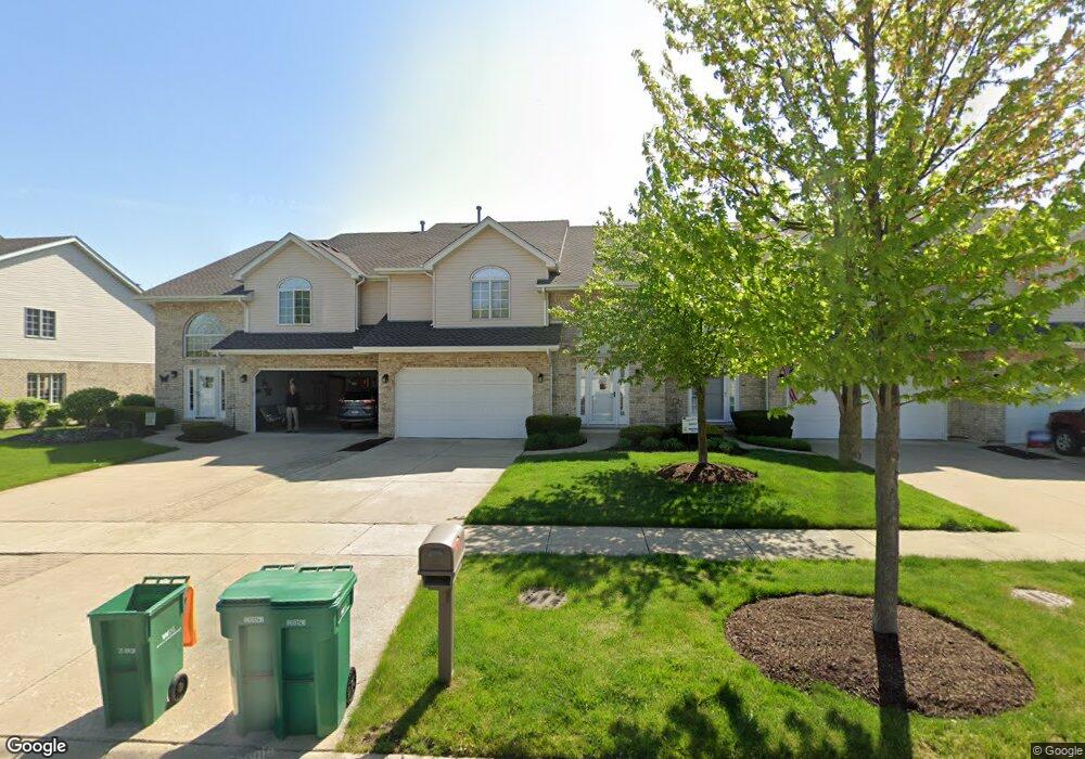
12781 Marian Dr Lemont, IL 60439
Southeast Lemont NeighborhoodEstimated Value: $454,000 - $491,000
3
Beds
3
Baths
2,496
Sq Ft
$192/Sq Ft
Est. Value
About This Home
This home is located at 12781 Marian Dr, Lemont, IL 60439 and is currently estimated at $478,627, approximately $191 per square foot. 12781 Marian Dr is a home located in Cook County with nearby schools including Oakwood School, River Valley School, and Old Quarry Middle School.
Ownership History
Date
Name
Owned For
Owner Type
Purchase Details
Closed on
Jun 18, 1999
Sold by
State Bank Of Countryside
Bought by
Lustyk Diane
Current Estimated Value
Home Financials for this Owner
Home Financials are based on the most recent Mortgage that was taken out on this home.
Original Mortgage
$80,000
Outstanding Balance
$21,952
Interest Rate
7.54%
Mortgage Type
Purchase Money Mortgage
Estimated Equity
$456,675
Create a Home Valuation Report for This Property
The Home Valuation Report is an in-depth analysis detailing your home's value as well as a comparison with similar homes in the area
Home Values in the Area
Average Home Value in this Area
Purchase History
| Date | Buyer | Sale Price | Title Company |
|---|---|---|---|
| Lustyk Diane | $200,000 | -- |
Source: Public Records
Mortgage History
| Date | Status | Borrower | Loan Amount |
|---|---|---|---|
| Open | Lustyk Diane | $80,000 |
Source: Public Records
Tax History Compared to Growth
Tax History
| Year | Tax Paid | Tax Assessment Tax Assessment Total Assessment is a certain percentage of the fair market value that is determined by local assessors to be the total taxable value of land and additions on the property. | Land | Improvement |
|---|---|---|---|---|
| 2024 | $7,832 | $41,000 | $2,862 | $38,138 |
| 2023 | $6,409 | $41,000 | $2,862 | $38,138 |
| 2022 | $6,409 | $29,819 | $2,505 | $27,314 |
| 2021 | $6,234 | $29,818 | $2,504 | $27,314 |
| 2020 | $6,354 | $29,818 | $2,504 | $27,314 |
| 2019 | $6,570 | $31,833 | $2,504 | $29,329 |
| 2018 | $6,460 | $31,833 | $2,504 | $29,329 |
| 2017 | $6,377 | $31,833 | $2,504 | $29,329 |
| 2016 | $5,270 | $24,821 | $2,057 | $22,764 |
| 2015 | $5,654 | $26,218 | $2,057 | $24,161 |
| 2014 | $6,005 | $27,390 | $2,057 | $25,333 |
| 2013 | $4,971 | $24,496 | $2,057 | $22,439 |
Source: Public Records
Map
Nearby Homes
- 12830 Marble St Unit 25A
- 12853 Marble St Unit 27A
- 1409 Notting Hill Dr
- 1369 Notre Dame Dr
- 1382 Overton Dr
- 12920 Marble St
- Fremont Plan at Covington Knolls
- Eden Plan at Covington Knolls
- Danbury Plan at Covington Knolls
- Calysta Plan at Covington Knolls
- Briarcliffe Plan at Covington Knolls
- Amberwood Plan at Covington Knolls
- 1156 Covington Dr
- 1249 Cronin Ct
- 13100 Fox Ln
- 1408 Ashbury Dr
- 1213 Prairie Ln
- 14690 Fox Hollow
- 1236 Prairie Ln Unit 5-B
- 1232 Prairie Ln Unit 5-A
- 12787 Marian Dr
- 12775 Marian Dr
- 12793 Marian Dr
- 12769 Marian Dr
- 12782 Cheiftain Ct
- 12803 Marian Dr
- 12763 Marian Dr
- 12774 Cheiftain Ct
- 12788 Cheiftain Ct
- 12768 Cheiftain Ct
- 12815 Marian Dr
- 12757 Marian Dr
- 12762 Cheiftain Ct Unit C
- 12762 Cheiftain Ct
- 12780 Marian Dr
- 12786 Marian Dr
- 12794 Marian Dr Unit 1280
- 12772 Marian Dr
- 14837 Ashford Dr