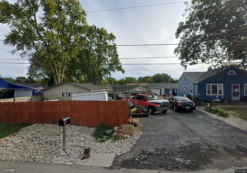
12783 W Keith Ave Waukegan, IL 60085
Shore Highlands NeighborhoodEstimated Value: $113,000 - $225,000
2
Beds
1
Bath
906
Sq Ft
$199/Sq Ft
Est. Value
About This Home
This home is located at 12783 W Keith Ave, Waukegan, IL 60085 and is currently estimated at $180,302, approximately $199 per square foot. 12783 W Keith Ave is a home located in Lake County with nearby schools including Oakdale Elementary School, Miguel Juarez Middle School, and Waukegan High School.
Ownership History
Date
Name
Owned For
Owner Type
Purchase Details
Closed on
Dec 2, 2019
Sold by
Powers Roger A and Powers William P
Bought by
King Joyce L Ruetz
Current Estimated Value
Home Financials for this Owner
Home Financials are based on the most recent Mortgage that was taken out on this home.
Original Mortgage
$70,000
Outstanding Balance
$61,895
Interest Rate
3.75%
Mortgage Type
Credit Line Revolving
Estimated Equity
$118,407
Purchase Details
Closed on
Oct 5, 2010
Sold by
Powers William P and Powers Catherine
Bought by
Powers William P
Create a Home Valuation Report for This Property
The Home Valuation Report is an in-depth analysis detailing your home's value as well as a comparison with similar homes in the area
Home Values in the Area
Average Home Value in this Area
Purchase History
| Date | Buyer | Sale Price | Title Company |
|---|---|---|---|
| King Joyce L Ruetz | $48,900 | Chicago Title | |
| Powers William P | -- | None Available |
Source: Public Records
Mortgage History
| Date | Status | Borrower | Loan Amount |
|---|---|---|---|
| Open | King Joyce L Ruetz | $70,000 |
Source: Public Records
Tax History Compared to Growth
Tax History
| Year | Tax Paid | Tax Assessment Tax Assessment Total Assessment is a certain percentage of the fair market value that is determined by local assessors to be the total taxable value of land and additions on the property. | Land | Improvement |
|---|---|---|---|---|
| 2024 | $2,261 | $37,146 | $5,798 | $31,348 |
| 2023 | $2,380 | $33,370 | $5,098 | $28,272 |
| 2022 | $2,380 | $31,644 | $4,577 | $27,067 |
| 2021 | $2,445 | $30,679 | $4,543 | $26,136 |
| 2020 | $2,471 | $28,581 | $4,232 | $24,349 |
| 2019 | $1,481 | $26,190 | $3,878 | $22,312 |
| 2018 | $1,123 | $22,157 | $2,743 | $19,414 |
| 2017 | $957 | $19,603 | $2,427 | $17,176 |
| 2016 | $743 | $17,034 | $2,109 | $14,925 |
| 2015 | $320 | $15,246 | $1,888 | $13,358 |
| 2014 | $431 | $13,388 | $1,532 | $11,856 |
| 2012 | $1,233 | $14,507 | $1,661 | $12,846 |
Source: Public Records
Map
Nearby Homes
- 1430 N Green Bay Rd
- 12933 W Polo Ave
- 3436 Florida Ave
- 2810 W Atlantic Ave
- 35400 N Green Bay Rd
- 2928 W Country Club Ave
- 3000 W Country Club Ave
- 2946 W Country Club Ave
- 3627 Atlantic Ave
- 1414 Belle Plaine Ave
- 2715 W Greenwood Ave
- 2813 Theresa Ave
- 3320 Sunset Ave
- 12716 W Grandview Ave
- 12698 W Grandview Ave
- 1048 Belle Plaine Ave
- 3210 W Grandview Ave
- 963 Belle Plaine Ave
- 2440 W Cheyenne Rd
- 3032 W Vermont Ave
- 12795 W Keith Ave
- 12765 W Keith Ave
- 12788 W Atlantic Ave
- 12813 W Keith Ave
- 12788 W Keith Ave
- 12766 W Keith Ave
- 12812 W Keith Ave
- 35845 N Green Place
- 35845 Green Ave
- 12787 W Atlantic Ave
- 35821 Green Ave
- 35885 N Adelphi Ave
- 12717 W Keith Ave
- 12836 W Keith Ave
- 12813 W Johns Manville Ave
- 12765 W Atlantic Ave
- 12813 W Atlantic Ave
- 12735 W Atlantic Ave
- 12718 W Atlantic Ave
- 12835 W Johns Manville Ave