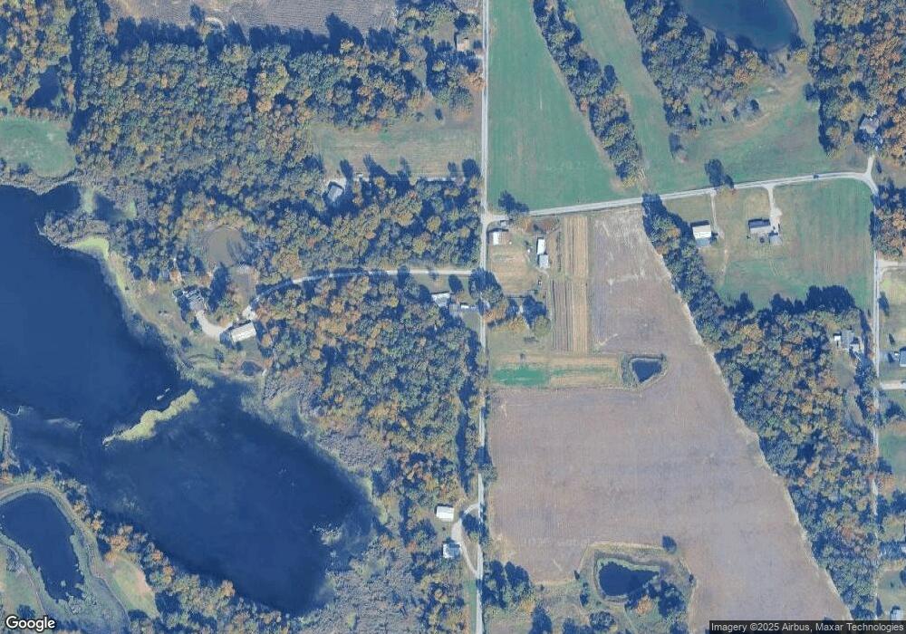
12785 Davidson Rd Marion, IL 62959
Estimated Value: $295,000 - $399,000
3
Beds
5
Baths
2,632
Sq Ft
$132/Sq Ft
Est. Value
About This Home
This home is located at 12785 Davidson Rd, Marion, IL 62959 and is currently estimated at $346,406, approximately $131 per square foot. 12785 Davidson Rd is a home located in Williamson County with nearby schools including Johnston City High School and Community Christian Academy.
Ownership History
Date
Name
Owned For
Owner Type
Purchase Details
Closed on
Oct 5, 2020
Sold by
Marlow Douglas L and Marlow Dana
Bought by
Nyman Michael
Current Estimated Value
Home Financials for this Owner
Home Financials are based on the most recent Mortgage that was taken out on this home.
Original Mortgage
$200,000
Outstanding Balance
$160,103
Interest Rate
2.63%
Mortgage Type
New Conventional
Estimated Equity
$186,303
Create a Home Valuation Report for This Property
The Home Valuation Report is an in-depth analysis detailing your home's value as well as a comparison with similar homes in the area
Home Values in the Area
Average Home Value in this Area
Purchase History
| Date | Buyer | Sale Price | Title Company |
|---|---|---|---|
| Nyman Michael | $265,000 | Mayberry Brandon C |
Source: Public Records
Mortgage History
| Date | Status | Borrower | Loan Amount |
|---|---|---|---|
| Open | Nyman Michael | $200,000 |
Source: Public Records
Tax History Compared to Growth
Tax History
| Year | Tax Paid | Tax Assessment Tax Assessment Total Assessment is a certain percentage of the fair market value that is determined by local assessors to be the total taxable value of land and additions on the property. | Land | Improvement |
|---|---|---|---|---|
| 2025 | $4,932 | $79,670 | $4,680 | $74,990 |
| 2024 | $4,932 | $79,670 | $4,680 | $74,990 |
| 2023 | $4,932 | $79,670 | $4,680 | $74,990 |
| 2022 | $4,645 | $70,190 | $4,120 | $66,070 |
| 2021 | $4,578 | $67,650 | $3,970 | $63,680 |
| 2020 | $4,578 | $63,920 | $3,750 | $60,170 |
| 2019 | $4,269 | $63,920 | $3,750 | $60,170 |
| 2018 | $4,269 | $63,920 | $3,750 | $60,170 |
| 2017 | $4,240 | $63,920 | $3,750 | $60,170 |
Source: Public Records
Map
Nearby Homes
- 0000 Bloomington St
- 11149 Crenshaw Rd
- 13206 Reed Cemetery Rd
- 10828 Ferges Rd
- 12171 Blue Sky Dr
- 12195 Blue Sky Dr
- 9933 Stotlar Rd
- 204 Bracey St
- 11115 Lamaster Rd
- 14141 Jeffery Mine Rd
- TBD Kokopelli Dr
- 0000 Kokopelli Dr
- 1408 W Longstreet Rd
- 300 Longstreet Rd
- 1535 Maureen Dr
- 14655 Christmas Tree Rd
- 107 Scott St
- 1504 Apache Dr
- 2103 The Hill Ave
- 1500 Apache Dr
- 12786 Davidson Rd
- 12797 Davidson Rd
- 12959 Davidson Rd
- 12603 Davidson Rd
- 11167 Murrah Rd
- 13079 Davidson Rd
- 11045 Decatur Rd
- 12759 Pease Rd
- 11109 Decatur Rd
- 13012 Davidson Rd
- 12754 Pease Rd
- 12754 Pease Rd
- 11290 Murrah Rd
- 11171 Decatur Rd
- 12638 Pease Rd
- 12638 Pease Rd
- 13100 Davidson Rd
- 12582 Pease Rd
- 12477 Pease Rd
- 13317 Davidson Rd
