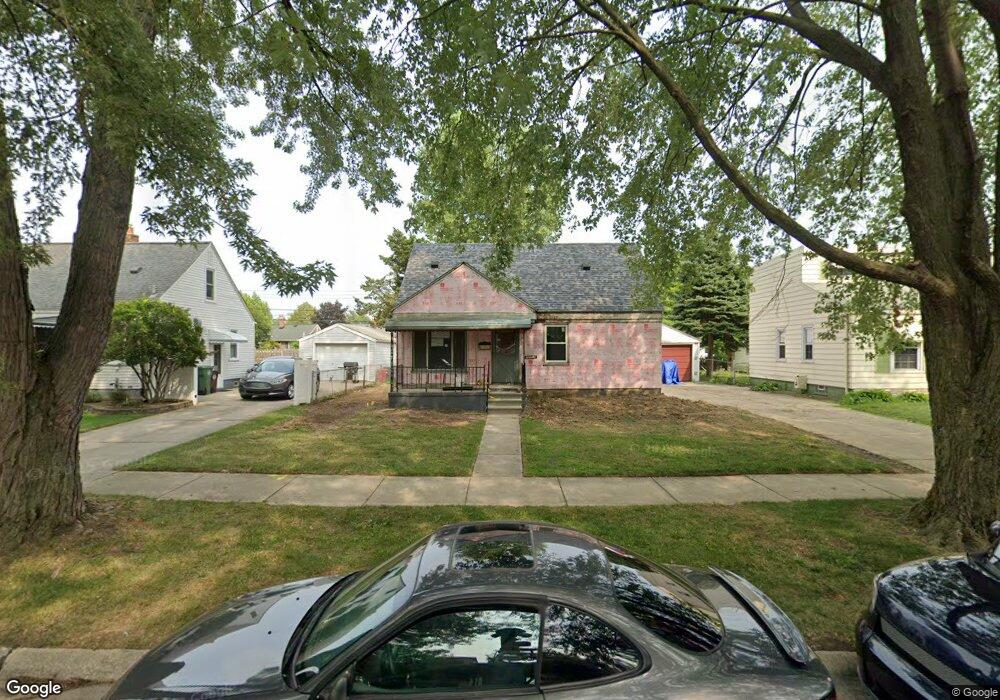
12785 Pearl St Unit Bldg-Unit Southgate, MI 48195
Estimated Value: $181,000 - $217,000
--
Bed
2
Baths
1,149
Sq Ft
$174/Sq Ft
Est. Value
About This Home
This home is located at 12785 Pearl St Unit Bldg-Unit, Southgate, MI 48195 and is currently estimated at $199,862, approximately $173 per square foot. 12785 Pearl St Unit Bldg-Unit is a home located in Wayne County with nearby schools including Shelters Elementary School, Davidson Middle School, and Southgate Anderson High School.
Ownership History
Date
Name
Owned For
Owner Type
Purchase Details
Closed on
Mar 29, 2019
Sold by
Halfacre James
Bought by
Cooke Michael and Cradit Alexandra
Current Estimated Value
Purchase Details
Closed on
May 30, 2018
Sold by
Us Bank National Association
Bought by
Halfacre James
Purchase Details
Closed on
Jan 4, 2018
Sold by
Klupacs David
Bought by
Us Bank National Association and Rmac Trust
Create a Home Valuation Report for This Property
The Home Valuation Report is an in-depth analysis detailing your home's value as well as a comparison with similar homes in the area
Home Values in the Area
Average Home Value in this Area
Purchase History
| Date | Buyer | Sale Price | Title Company |
|---|---|---|---|
| Cooke Michael | $142,000 | Michigan Title Ins Agcy Inc | |
| Halfacre James | $71,500 | Mortgage Connect Lp | |
| Us Bank National Association | $158,476 | None Available |
Source: Public Records
Tax History Compared to Growth
Tax History
| Year | Tax Paid | Tax Assessment Tax Assessment Total Assessment is a certain percentage of the fair market value that is determined by local assessors to be the total taxable value of land and additions on the property. | Land | Improvement |
|---|---|---|---|---|
| 2025 | $3,181 | $77,300 | $0 | $0 |
| 2024 | $3,181 | $72,000 | $0 | $0 |
| 2023 | $2,991 | $65,300 | $0 | $0 |
| 2022 | $3,422 | $58,900 | $0 | $0 |
| 2021 | $3,407 | $53,500 | $0 | $0 |
| 2020 | $2,820 | $47,800 | $0 | $0 |
| 2019 | $2,849 | $43,900 | $0 | $0 |
| 2018 | $2,322 | $41,700 | $0 | $0 |
| 2017 | $972 | $39,000 | $0 | $0 |
| 2016 | $2,025 | $38,200 | $0 | $0 |
| 2015 | $3,448 | $37,100 | $0 | $0 |
| 2013 | $3,340 | $34,900 | $0 | $0 |
| 2012 | $1,486 | $32,900 | $6,900 | $26,000 |
Source: Public Records
Map
Nearby Homes
- 12750 Longtin St
- 12685 Fordline St
- 13367 Fordline St
- 13631 Rosedale St
- 12177 Agnes St
- 13546 Trenton Rd
- 12200 Helen St
- 12792 Elaine Dr
- 12720 Elaine Dr Unit 31
- 13632 Pearl St
- 12125 Helen St
- 13543 Poplar St
- 13381 Callender St
- 13728 Agnes St
- 12215 Manor Dr
- 13395 Pullman St
- 13787 Irene St
- 13650 Jobin St
- 4241 Fordline Rd
- 13335 Pullman St