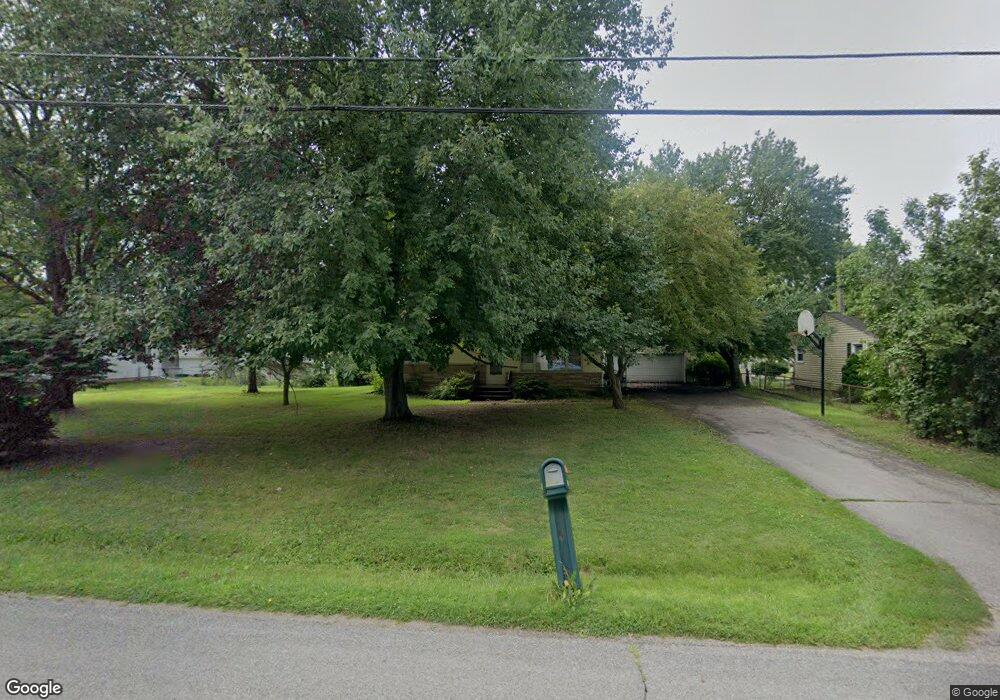
1279 Cunningham Rd Jackson, MI 49201
Estimated Value: $190,000 - $205,000
Studio
--
Bath
1,008
Sq Ft
$198/Sq Ft
Est. Value
About This Home
This home is located at 1279 Cunningham Rd, Jackson, MI 49201 and is currently estimated at $199,340, approximately $197 per square foot. 1279 Cunningham Rd is a home located in Jackson County with nearby schools including Northwest Elementary School, Northwest Early Elementary School, and Northwest Middle School.
Ownership History
Date
Name
Owned For
Owner Type
Purchase Details
Closed on
Mar 31, 2004
Sold by
Lewis Leeann H and Lewis Leeann
Bought by
Cummings Angela M
Current Estimated Value
Home Financials for this Owner
Home Financials are based on the most recent Mortgage that was taken out on this home.
Original Mortgage
$100,000
Outstanding Balance
$42,394
Interest Rate
4.25%
Mortgage Type
Purchase Money Mortgage
Estimated Equity
$156,946
Purchase Details
Closed on
Jul 15, 1997
Sold by
Christner Edward C and Christner Sue E
Bought by
Meyers Randy L and Meyers Victoria L
Create a Home Valuation Report for This Property
The Home Valuation Report is an in-depth analysis detailing your home's value as well as a comparison with similar homes in the area
Home Values in the Area
Average Home Value in this Area
Purchase History
| Date | Buyer | Sale Price | Title Company |
|---|---|---|---|
| Cummings Angela M | $125,000 | At | |
| Meyers Randy L | $91,000 | -- |
Source: Public Records
Mortgage History
| Date | Status | Borrower | Loan Amount |
|---|---|---|---|
| Open | Cummings Angela M | $100,000 |
Source: Public Records
Tax History
| Year | Tax Paid | Tax Assessment Tax Assessment Total Assessment is a certain percentage of the fair market value that is determined by local assessors to be the total taxable value of land and additions on the property. | Land | Improvement |
|---|---|---|---|---|
| 2025 | $2,303 | $81,450 | $0 | $0 |
| 2024 | $7 | $81,150 | $0 | $0 |
| 2023 | $681 | $71,900 | $0 | $0 |
| 2022 | $2,079 | $50,900 | $0 | $0 |
| 2021 | $2,033 | $43,500 | $0 | $0 |
| 2020 | $2,010 | $39,900 | $0 | $0 |
| 2019 | $1,965 | $39,300 | $0 | $0 |
| 2018 | $1,842 | $35,500 | $0 | $0 |
| 2017 | $2,020 | $43,400 | $0 | $0 |
| 2016 | $1,576 | $40,366 | $40,366 | $0 |
| 2015 | $1,948 | $39,875 | $39,875 | $0 |
| 2014 | $1,948 | $38,898 | $0 | $0 |
| 2013 | -- | $38,898 | $38,898 | $0 |
Source: Public Records
Map
Nearby Homes
- 4223 Aspen Way
- VL Morrill Rd
- 3580 Clinton Way
- 3576 Clinton Way
- 3572 Clinton Way
- 3568 Clinton Way
- VL 29 Clinton Way
- VL 69 Clinton Way
- 3564 Clinton Way
- 3560 Clinton Way
- 3556 Clinton Way
- 1417 Gerry Dr
- 3335 Clinton Way
- 0 Lansing Ave Unit 26003476
- 4211 Laurel
- 5123 S Granite St
- 0 Burt Ave
- 5038 Fieldstone St
- 3249 Hendee Rd
- 3635 Hawthorn Dr
- 1283 Cunningham Rd
- 3715 Loretta Ave
- 1201 Cunningham Rd
- 3732 Luella St
- 1289 Cunningham Rd
- 1288 Cunningham Rd
- 3711 Loretta Ave
- 3728 Luella St
- 3716 Loretta Ave
- 1291 Cunningham Rd
- 1200 Cunningham Rd
- 3707 Loretta Dr
- 3707 Loretta Ave
- 4105 Kenzie Blvd
- 3712 Loretta Ave
- 1292 Cunningham Rd
- 3724 Luella St
- 3733 Luella St
- 1107 Cunningham Rd
- 3729 Luella St
Your Personal Tour Guide
Ask me questions while you tour the home.