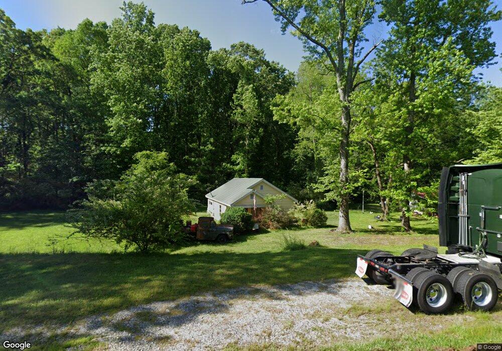
1279 Duncan Bridge Rd Cornelia, GA 30531
Estimated Value: $130,000 - $226,000
3
Beds
1
Bath
880
Sq Ft
$180/Sq Ft
Est. Value
About This Home
This home is located at 1279 Duncan Bridge Rd, Cornelia, GA 30531 and is currently estimated at $157,984, approximately $179 per square foot. 1279 Duncan Bridge Rd is a home located in Habersham County with nearby schools including Baldwin Elementary School, South Habersham Middle School, and Habersham Success Academy.
Ownership History
Date
Name
Owned For
Owner Type
Purchase Details
Closed on
Aug 27, 2014
Sold by
Ivie Levis
Bought by
Williams Linda Sue
Current Estimated Value
Home Financials for this Owner
Home Financials are based on the most recent Mortgage that was taken out on this home.
Original Mortgage
$25,000
Interest Rate
4.19%
Mortgage Type
New Conventional
Create a Home Valuation Report for This Property
The Home Valuation Report is an in-depth analysis detailing your home's value as well as a comparison with similar homes in the area
Home Values in the Area
Average Home Value in this Area
Purchase History
| Date | Buyer | Sale Price | Title Company |
|---|---|---|---|
| Williams Linda Sue | $25,000 | -- |
Source: Public Records
Mortgage History
| Date | Status | Borrower | Loan Amount |
|---|---|---|---|
| Closed | Williams Linda Sue | $25,000 |
Source: Public Records
Tax History Compared to Growth
Tax History
| Year | Tax Paid | Tax Assessment Tax Assessment Total Assessment is a certain percentage of the fair market value that is determined by local assessors to be the total taxable value of land and additions on the property. | Land | Improvement |
|---|---|---|---|---|
| 2025 | $217 | $45,450 | $18,392 | $27,058 |
| 2024 | -- | $22,728 | $9,332 | $13,396 |
| 2023 | $23 | $20,664 | $9,332 | $11,332 |
| 2022 | $80 | $16,848 | $6,996 | $9,852 |
| 2021 | $77 | $16,028 | $6,996 | $9,032 |
| 2020 | $77 | $14,900 | $6,996 | $7,904 |
| 2019 | $78 | $14,900 | $6,996 | $7,904 |
| 2018 | $383 | $14,320 | $6,996 | $7,324 |
| 2017 | $377 | $14,024 | $6,996 | $7,028 |
| 2016 | $380 | $35,060 | $6,996 | $7,028 |
| 2015 | $258 | $36,470 | $7,560 | $7,028 |
| 2014 | $413 | $39,320 | $7,560 | $8,168 |
| 2013 | -- | $15,728 | $7,560 | $8,168 |
Source: Public Records
Map
Nearby Homes
- 190 Sunset Oaks Dr
- 1246 Duncan Bridge Rd
- 179 Sunset Oaks Dr
- 429 Hubert Harris Rd
- 0 Hubert Harris
- 0 State Route 365 Unit 10496178
- 0 State Route 365 Unit 10496183
- 140 Highland Pointe Dr
- 290 Magnolia Villas Dr
- 489 Magnolia Grove Place
- 420 Magnolia Grove Place
- 490 Magnolia Grove Place
- 478 Magnolia Grove Place
- 0 J Warren Rd Unit 10429700
- 324 Highland Pointe Dr
- 150 Magnolia Villas Dr
- Plan 2628 at Magnolia Villas
- Plan 1709 at Magnolia Villas
- Plan 1522 at Magnolia Villas
- Plan 2030 at Magnolia Villas
- 1299 Duncan Bridge Rd
- 187 Sunset Oaks Dr
- 1311 Duncan Bridge Rd
- 1347 Duncan Bridge Rd
- 1385 Duncan Bridge Rd
- 173 Sunset Oaks Dr
- 170 Sunset Oaks Dr
- 167 Sunset Oaks Dr
- 162 Sunset Oaks Dr Unit 16
- 162 Sunset Oaks Dr
- 456 Red Hawk Ln
- 159 Sunset Oaks Dr
- 1442 Duncan Bridge Rd
- 156 Sunset Oaks Dr
- 1202 Duncan Bridge Rd
- 112 Sunset Oaks Dr
- 0 Harold Ansley Rd
- 0 Sunset Oaks Dr Unit 7239552
- 0 Sunset Oaks Dr Unit 7161748
- 141 Sunset Oaks Dr