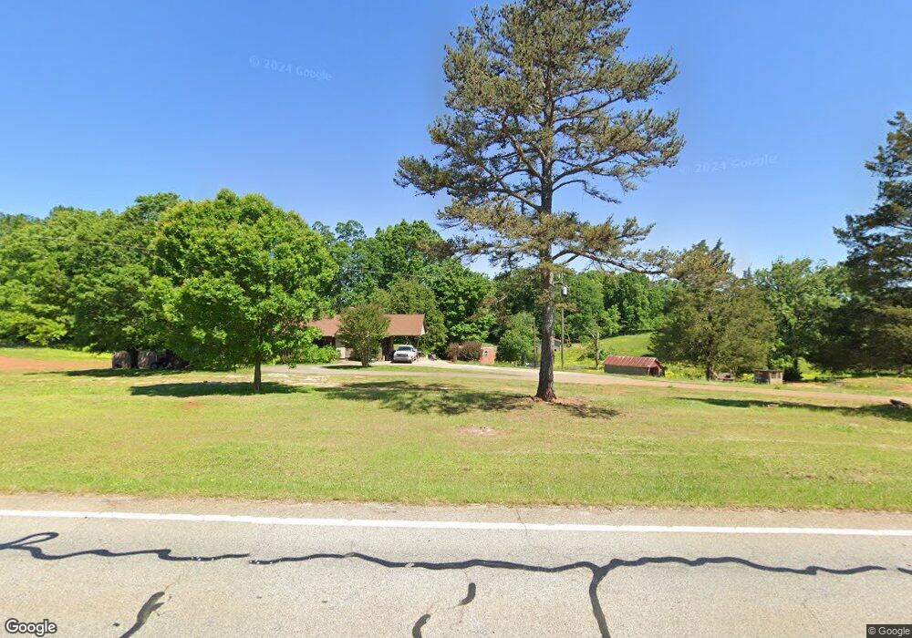
1279 Highway 63 Commerce, GA 30530
Estimated Value: $302,000 - $1,044,000
3
Beds
2
Baths
1,248
Sq Ft
$596/Sq Ft
Est. Value
About This Home
This home is located at 1279 Highway 63, Commerce, GA 30530 and is currently estimated at $744,137, approximately $596 per square foot. 1279 Highway 63 is a home located in Banks County with nearby schools including Banks County Primary School, Banks County Elementary School, and Banks County Middle School.
Ownership History
Date
Name
Owned For
Owner Type
Purchase Details
Closed on
Mar 23, 2017
Sold by
Chongsil Rosado
Bought by
Lee Eun Sook and Lee Ki Se
Current Estimated Value
Purchase Details
Closed on
Jan 15, 2008
Sold by
Ayers Ryan
Bought by
Rosado Manuel and Rosado Chongsil
Home Financials for this Owner
Home Financials are based on the most recent Mortgage that was taken out on this home.
Original Mortgage
$161,000
Interest Rate
6.12%
Mortgage Type
New Conventional
Create a Home Valuation Report for This Property
The Home Valuation Report is an in-depth analysis detailing your home's value as well as a comparison with similar homes in the area
Home Values in the Area
Average Home Value in this Area
Purchase History
| Date | Buyer | Sale Price | Title Company |
|---|---|---|---|
| Lee Eun Sook | $500,000 | -- | |
| Rosado Manuel | $230,000 | -- |
Source: Public Records
Mortgage History
| Date | Status | Borrower | Loan Amount |
|---|---|---|---|
| Previous Owner | Rosado Manuel | $161,000 |
Source: Public Records
Tax History Compared to Growth
Tax History
| Year | Tax Paid | Tax Assessment Tax Assessment Total Assessment is a certain percentage of the fair market value that is determined by local assessors to be the total taxable value of land and additions on the property. | Land | Improvement |
|---|---|---|---|---|
| 2025 | $2,126 | $279,903 | $207,291 | $72,612 |
| 2024 | $2,126 | $270,201 | $200,126 | $70,075 |
| 2023 | $5,232 | $257,052 | $197,470 | $59,582 |
| 2022 | $4,294 | $204,336 | $151,896 | $52,440 |
| 2021 | $3,873 | $173,352 | $126,583 | $46,769 |
| 2020 | $3,832 | $167,110 | $124,102 | $43,008 |
| 2019 | $3,851 | $167,110 | $124,102 | $43,008 |
| 2018 | $3,838 | $163,843 | $124,102 | $39,741 |
| 2017 | $3,617 | $148,037 | $107,915 | $40,122 |
| 2016 | $1,217 | $48,413 | $16,861 | $31,552 |
| 2015 | $1,359 | $48,412 | $16,861 | $31,552 |
| 2014 | $1,359 | $57,600 | $26,048 | $31,552 |
| 2013 | -- | $57,600 | $26,048 | $31,552 |
Source: Public Records
Map
Nearby Homes
- 163 M t Trail
- 731 Borders Rd
- 1065 Hebron Rd
- 0 Carson Rd Unit LOT 32 10594149
- 0 Carson Rd Unit 7640890
- 139 Meadow Lake Dr
- 7527 Highway 326
- 161 Meadow Lake Dr
- 166 Freedom Ln
- 0 Freedom Ln Unit 9B
- 0 Freedom Ln Unit 18C 10380663
- 0 Freedom Ln Unit 9D
- 0 Freedom Ln Unit 9C
- 0 Freedom Ln Unit 18B 10379747
- 0 Freedom Ln Unit 9E
- 1020 Riverbend Rd
- 775 Riverbend Rd
- 1679 Fort Lamar Rd
- 24 Tomlin Way
- 482 Hooper Rd
- 1111 Highway 63
- LOT 26 Duncan Rd
- 1263 Duncan Rd
- 1088 Highway 63
- 1285 Duncan Rd
- 1203 Duncan Rd
- 1203 Duncan Rd
- 1296 Duncan Rd
- 1293 Duncan Rd
- 1297 Duncan Rd
- 1293 Duncan Rd
- 907 Duncan Rd
- 1291 Duncan Rd
- 1286 Duncan Rd
- 1396 Highway 63
- 905 Duncan Rd
- 843 Duncan Rd
- 915 Duncan Rd
- 901 & 903 Duncan
- 901 Duncan Rd