1279 Kronner Rd Columbus, MI 48063
Estimated Value: $390,000 - $453,000
3
Beds
2
Baths
2,060
Sq Ft
$204/Sq Ft
Est. Value
About This Home
This home is located at 1279 Kronner Rd, Columbus, MI 48063 and is currently estimated at $421,005, approximately $204 per square foot. 1279 Kronner Rd is a home located in St. Clair County with nearby schools including Will L. Lee School, Richmond Middle School, and Richmond Community High School.
Ownership History
Date
Name
Owned For
Owner Type
Purchase Details
Closed on
Feb 13, 2024
Sold by
Degele John and Degele Mary L
Bought by
John And Mary Louise Degele Joint Revocable T and Degele
Current Estimated Value
Purchase Details
Closed on
Feb 5, 2024
Sold by
Degele John and Degele Mary L
Bought by
John And Mary Louise Degele Joint Revocable T and Degele
Create a Home Valuation Report for This Property
The Home Valuation Report is an in-depth analysis detailing your home's value as well as a comparison with similar homes in the area
Home Values in the Area
Average Home Value in this Area
Purchase History
| Date | Buyer | Sale Price | Title Company |
|---|---|---|---|
| John And Mary Louise Degele Joint Revocable T | -- | None Listed On Document | |
| John And Mary Louise Degele Joint Revocable T | -- | None Listed On Document |
Source: Public Records
Tax History
| Year | Tax Paid | Tax Assessment Tax Assessment Total Assessment is a certain percentage of the fair market value that is determined by local assessors to be the total taxable value of land and additions on the property. | Land | Improvement |
|---|---|---|---|---|
| 2025 | $4,085 | $221,200 | $0 | $0 |
| 2024 | $3,984 | $201,900 | $0 | $0 |
| 2023 | $3,821 | $189,000 | $0 | $0 |
| 2022 | $4,743 | $166,100 | $0 | $0 |
| 2020 | $4,426 | $143,300 | $143,300 | $0 |
| 2019 | $4,032 | $136,000 | $0 | $0 |
| 2018 | $3,959 | $111,000 | $0 | $0 |
| 2017 | $3,381 | $107,200 | $0 | $0 |
| 2016 | $3,372 | $107,200 | $0 | $0 |
| 2015 | -- | $91,700 | $91,700 | $0 |
| 2014 | -- | $89,800 | $89,800 | $0 |
| 2013 | -- | $87,400 | $0 | $0 |
Source: Public Records
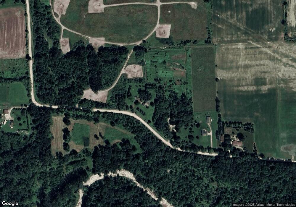
Map
Nearby Homes
- 0 00 Meskill Rd 4001 - 070 Parcel 8 & 1001-000 Rd Unit 50159561
- 0 00 Kroner Rd 4001 - 060 Parcel 7 Rd Unit 50159560
- 0 00 Kroner Rd 4001 - 040 Parcel 5 Rd Unit 50159557
- 0 00 Weber Rd 4001 - 090 Parcel 10 Rd
- 0 00 Weber Rd 4001 - 080 Parcel 9 Rd
- 0 00 Weber Rd 4001-001 Parcel 1 Rd Unit 50159551
- 00 Kroner Rd 4001 - 010 Parcel 2 Roads
- 9977 Weber Rd
- 9202 Crawford Rd
- 0 Hebel Rd
- V/L Crawford Rd
- 0000 Division Rd
- 000 Meskill Rd
- 0 Bauman Rd Unit 50090600
- 9505 Dolan Rd
- 0 Meskill (Lot D) Rd Unit 50172630
- 9890 Gratiot Ave
- 80131 Robert St
- 70424 Karen St
- 80185 Elinor St
- 1283 Kronner Rd
- 1317 Kronner Rd
- 1345 Kronner Rd
- 1345 Kronner Rd
- Kronner Rd
- 1194 Kronner Rd
- 1395 Kronner Rd
- 1080 Kronner Rd
- 1025 Kronner Rd
- 1717 Kronner Rd
- 1423 Kronner Rd
- 1495 Kronner Rd
- 1439 Kronner Rd
- 10024 Crawford Rd
- 1015 Kronner Rd
- 37601 Logg Rd
- 10010 Crawford Rd
- 10019 Crawford Rd
- 10151 Meskill Rd
- 9990 Crawford Rd
Your Personal Tour Guide
Ask me questions while you tour the home.