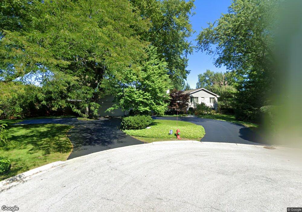
1279 Pine Ct Glencoe, IL 60022
Estimated Value: $1,288,000 - $1,703,000
3
Beds
4
Baths
2,727
Sq Ft
$580/Sq Ft
Est. Value
About This Home
This home is located at 1279 Pine Ct, Glencoe, IL 60022 and is currently estimated at $1,581,830, approximately $580 per square foot. 1279 Pine Ct is a home located in Cook County with nearby schools including South Elementary School, West School, and Central School.
Ownership History
Date
Name
Owned For
Owner Type
Purchase Details
Closed on
Jan 24, 2000
Sold by
Atkins Edward and Atkins Cathy Gilford
Bought by
Sharp Stephen D and Jackson Linda S
Current Estimated Value
Home Financials for this Owner
Home Financials are based on the most recent Mortgage that was taken out on this home.
Original Mortgage
$400,000
Outstanding Balance
$122,161
Interest Rate
7.98%
Estimated Equity
$1,459,669
Create a Home Valuation Report for This Property
The Home Valuation Report is an in-depth analysis detailing your home's value as well as a comparison with similar homes in the area
Home Values in the Area
Average Home Value in this Area
Purchase History
| Date | Buyer | Sale Price | Title Company |
|---|---|---|---|
| Sharp Stephen D | $799,000 | First American Title |
Source: Public Records
Mortgage History
| Date | Status | Borrower | Loan Amount |
|---|---|---|---|
| Open | Sharp Stephen D | $400,000 |
Source: Public Records
Tax History
| Year | Tax Paid | Tax Assessment Tax Assessment Total Assessment is a certain percentage of the fair market value that is determined by local assessors to be the total taxable value of land and additions on the property. | Land | Improvement |
|---|---|---|---|---|
| 2025 | $23,679 | $95,000 | $43,733 | $51,267 |
| 2024 | $23,679 | $97,754 | $36,614 | $61,140 |
| 2023 | $22,064 | $102,635 | $36,614 | $66,021 |
| 2022 | $22,064 | $102,635 | $36,614 | $66,021 |
| 2021 | $14,965 | $58,193 | $27,460 | $30,733 |
| 2020 | $17,524 | $63,979 | $27,460 | $36,519 |
| 2019 | $16,350 | $69,543 | $27,460 | $42,083 |
| 2018 | $17,524 | $72,369 | $23,392 | $48,977 |
| 2017 | $17,039 | $72,369 | $23,392 | $48,977 |
| 2016 | $16,430 | $73,351 | $23,392 | $49,959 |
| 2015 | $18,224 | $72,202 | $19,323 | $52,879 |
| 2014 | $17,787 | $72,202 | $19,323 | $52,879 |
| 2013 | $16,952 | $72,202 | $19,323 | $52,879 |
Source: Public Records
Map
Nearby Homes
- 1180 Oak Ridge Dr
- 1106 Hohlfelder Rd
- 1036 Elm Ridge Dr
- 1020 Bluff Rd
- 1077 Green Bay Rd
- 1076 Old Elm Ln
- 754 Woodridge Ln
- 908 Elm Place
- 759 Strawberry Hill Dr
- 8 Heritage Dr
- 775 Stonegate Dr
- 808 Prairie Rd
- 396 Forest Edge Dr
- 1013 Longaker Rd
- 1025 Longaker Rd
- 340 Flora Place
- 794 Greenwood Ave
- 130 Rockgate Ln
- 735 Grove St
- 55 S Deere Park Dr
- 601 Westwood Ln
- 578 Westley Rd
- 1280 Pine Ct
- 1256 Fairfield Rd
- 1270 Fairfield Rd
- 1270 Fairfield Rd
- 568 Westley Rd
- 1254 Fairfield Rd
- 580 Westley Rd
- 1274 Pine Ct
- 560 Westley Rd
- 612 Westwood Ln
- 1244 Fairfield Rd
- 1265 Longmeadow Ln
- 1265 Longmeadow Ln
- 1245 Fairfield Rd
- 1261 Fairfield Rd
- 1255 Fairfield Rd
- 546 Westley Rd
- 584 Westwood Ln
Your Personal Tour Guide
Ask me questions while you tour the home.