12794 Pobst Place Leavenworth, WA 98826
Estimated Value: $1,193,844 - $1,417,000
3
Beds
2
Baths
2,434
Sq Ft
$541/Sq Ft
Est. Value
About This Home
This home is located at 12794 Pobst Place, Leavenworth, WA 98826 and is currently estimated at $1,317,948, approximately $541 per square foot. 12794 Pobst Place is a home located in Chelan County with nearby schools including Cascade High School.
Ownership History
Date
Name
Owned For
Owner Type
Purchase Details
Closed on
Aug 20, 2013
Sold by
Strahm Frank and Strahm Barbara
Bought by
Thomas James E and Thomas Sandra S
Current Estimated Value
Home Financials for this Owner
Home Financials are based on the most recent Mortgage that was taken out on this home.
Original Mortgage
$180,000
Outstanding Balance
$131,748
Interest Rate
4%
Mortgage Type
Adjustable Rate Mortgage/ARM
Estimated Equity
$1,186,200
Purchase Details
Closed on
Apr 7, 2006
Sold by
Vanvanparys Leo Van
Bought by
Strahm Frank and Strahm Barbara
Create a Home Valuation Report for This Property
The Home Valuation Report is an in-depth analysis detailing your home's value as well as a comparison with similar homes in the area
Home Values in the Area
Average Home Value in this Area
Purchase History
| Date | Buyer | Sale Price | Title Company |
|---|---|---|---|
| Thomas James E | $225,000 | North Meridian Title & Escro | |
| Strahm Frank | $225,000 | First American Title |
Source: Public Records
Mortgage History
| Date | Status | Borrower | Loan Amount |
|---|---|---|---|
| Open | Thomas James E | $180,000 |
Source: Public Records
Tax History Compared to Growth
Tax History
| Year | Tax Paid | Tax Assessment Tax Assessment Total Assessment is a certain percentage of the fair market value that is determined by local assessors to be the total taxable value of land and additions on the property. | Land | Improvement |
|---|---|---|---|---|
| 2021 | $7,234 | $742,171 | $349,238 | $392,933 |
| 2020 | $6,196 | $627,872 | $282,625 | $345,247 |
| 2019 | $6,999 | $591,669 | $254,300 | $337,369 |
| 2018 | $6,527 | $647,827 | $208,452 | $439,375 |
| 2017 | $6,175 | $558,317 | $265,744 | $292,573 |
| 2016 | $2,015 | $560,011 | $249,397 | $310,614 |
| 2015 | $2,015 | $501,692 | $184,738 | $316,954 |
| 2013 | $2,015 | $157,950 | $157,950 | $0 |
Source: Public Records
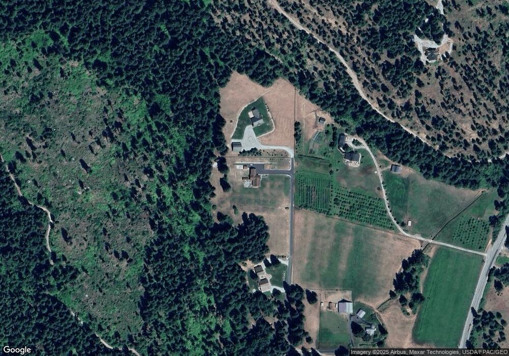
Map
Nearby Homes
- 12469 W Shugart Flats Rd
- 12360 W Shurgart Flats Rd
- 19374 Westside Dr
- 0 S Shugart Flats Rd
- 19990 S Shugart Flats Rd
- 19160 Westside Dr
- 2628 Cottonwood Ln
- 20106 Shugart Flats Rd
- 2620 Wenatchee Pines
- 2514 Kinnikinnick Dr
- 0 Forrest Service 6601-550 Rd Unit NWM2393095
- 18725 River Rd
- 2205 Pine Tree Rd
- 2316 Pine Tree Rd
- 11411 Shugart Flats Rd
- 3016 Memory Ln
- 2290 Riffle Dr
- 3025 Memory Ln
- 18527 Hazel St
- 2233 Riffle Dr
- 12798 Pobst Place
- 12790 Pobst Place
- 20000 Beaver Valley Rd
- 19990 Beaver Valley Rd
- 20110 Beaver Valley Rd
- 19995 Beaver Valley Rd
- 19879 Beaver Valley Rd
- 19955 Beaver Valley Rd
- 20045 Beaver Valley Rd
- 19919 Beaver Valley Rd
- 20115 Beaver Valley Rd
- 19885 Beaver Valley Rd
- 19789 Beaver Valley Rd
- 19851 Beaver Valley Rd
- 12457 W Shugart Flats Rd
- 19751 Beaver Valley Rd
- 12473 W Shugart Flats Rd
- 12471 W Shugart Flats Rd
- 12395 W Shugart Flats Rd
- 243 Shales Ln