12795 Fort Rd West Fork, AR 72774
Estimated Value: $221,371 - $358,000
--
Bed
2
Baths
2,016
Sq Ft
$148/Sq Ft
Est. Value
About This Home
This home is located at 12795 Fort Rd, West Fork, AR 72774 and is currently estimated at $299,124, approximately $148 per square foot. 12795 Fort Rd is a home located in Washington County with nearby schools including West Fork Elementary School, West Fork Middle School, and West Fork High School.
Ownership History
Date
Name
Owned For
Owner Type
Purchase Details
Closed on
Aug 22, 2014
Bought by
Mims Susan
Current Estimated Value
Purchase Details
Closed on
May 14, 1992
Bought by
Mims Mims D and Mims Susan P
Purchase Details
Closed on
May 6, 1985
Bought by
Beyer Waltraud
Purchase Details
Closed on
Jan 1, 1985
Bought by
Stokenbury Martha M
Create a Home Valuation Report for This Property
The Home Valuation Report is an in-depth analysis detailing your home's value as well as a comparison with similar homes in the area
Home Values in the Area
Average Home Value in this Area
Purchase History
| Date | Buyer | Sale Price | Title Company |
|---|---|---|---|
| Mims Susan | -- | -- | |
| Mims Mims D | $54,000 | -- | |
| Beyer Waltraud | -- | -- | |
| Stokenbury Martha M | -- | -- |
Source: Public Records
Tax History Compared to Growth
Tax History
| Year | Tax Paid | Tax Assessment Tax Assessment Total Assessment is a certain percentage of the fair market value that is determined by local assessors to be the total taxable value of land and additions on the property. | Land | Improvement |
|---|---|---|---|---|
| 2025 | $336 | $31,300 | $4,490 | $26,810 |
| 2024 | $370 | $29,930 | $4,490 | $25,440 |
| 2023 | $449 | $29,930 | $4,490 | $25,440 |
| 2022 | $550 | $23,200 | $3,490 | $19,710 |
| 2021 | $550 | $23,200 | $3,490 | $19,710 |
| 2020 | $550 | $23,200 | $3,490 | $19,710 |
| 2019 | $509 | $17,320 | $2,100 | $15,220 |
| 2018 | $534 | $17,320 | $2,100 | $15,220 |
| 2017 | $457 | $17,320 | $2,100 | $15,220 |
| 2016 | $508 | $17,320 | $2,100 | $15,220 |
| 2015 | $445 | $17,320 | $2,100 | $15,220 |
| 2014 | $407 | $16,230 | $1,900 | $14,330 |
Source: Public Records
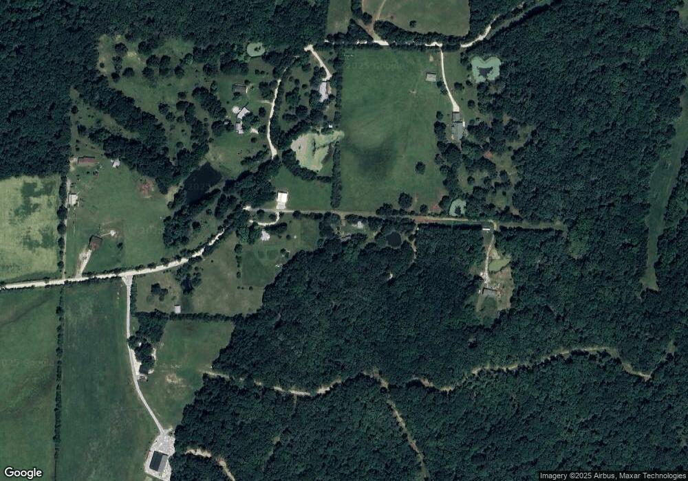
Map
Nearby Homes
- 15558 S Highway 71
- 13590 Sugar Mountain Rd
- 13608 Sugar Mountain Rd
- 13829 French Rd
- 14211 Sugar Mountain Rd
- 14416 & 14425 Truelove Rd
- TBD Truelove Rd
- 14642 Truelove Rd
- 696 E Thornstone Ave
- 260 Culp Trail
- 14163 Low Gap Rd
- 253 Mckean Ave
- TBD Wooten Rd Rd
- 222 Rivendale Dr
- 14159 Low Gap Wc 100 Rd
- 503 Clark Ave
- 497 Clark Ave
- Springs 1445 Plan at Rolling Plains
- Eureka 1536 Plan at Rolling Plains
- Oak 1463 Plan at Rolling Plains
- 12691 Sugar Mountain Rd
- 12825 Sugar Mountain Rd
- 12930 Fort Rd
- 12948 Sugar Mountain Rd
- 12942 Sugar Mountain Rd
- 12802 Sugar Mountain Rd
- 13029 Sugar Mountain Rd
- 12468 Sugar Mountain Rd
- 12499 Sugar Mountain Rd
- 12450 Sugar Mountain Rd
- 0 Sugar Mountain Rd Unit 408088
- 0 Sugar Mountain Rd Unit 427647
- 0 Sugar Mountain Rd Unit 522772
- 0 Sugar Mountain Rd Unit 1111818
- 0 Sugar Mountain Rd Unit 1194646
- 13116 Sugar Mountain Rd
- 13116 Sugar Mountain Rd
- 12411 Sugar Mountain Rd
- 13024 Sugar Mountain Rd
- 0 N A Unit 1180432