12795 W Gratiot Rd Hubbardston, MI 48845
Estimated Value: $112,000 - $300,864
5
Beds
2
Baths
1,568
Sq Ft
$153/Sq Ft
Est. Value
About This Home
This home is located at 12795 W Gratiot Rd, Hubbardston, MI 48845 and is currently estimated at $239,716, approximately $152 per square foot. 12795 W Gratiot Rd is a home located in Clinton County with nearby schools including Fulton Elementary School, Fulton Middle School, and Fulton High School.
Ownership History
Date
Name
Owned For
Owner Type
Purchase Details
Closed on
Aug 10, 2018
Sold by
Fitzpatrick Turner
Bought by
Thelen Riley
Current Estimated Value
Home Financials for this Owner
Home Financials are based on the most recent Mortgage that was taken out on this home.
Original Mortgage
$151,010
Outstanding Balance
$131,146
Interest Rate
4.5%
Mortgage Type
New Conventional
Estimated Equity
$108,570
Purchase Details
Closed on
Mar 20, 2015
Sold by
Skinner Brent and Skinner Jessica
Bought by
Fitzpatrick Turner
Home Financials for this Owner
Home Financials are based on the most recent Mortgage that was taken out on this home.
Original Mortgage
$127,551
Interest Rate
3.73%
Mortgage Type
New Conventional
Create a Home Valuation Report for This Property
The Home Valuation Report is an in-depth analysis detailing your home's value as well as a comparison with similar homes in the area
Purchase History
| Date | Buyer | Sale Price | Title Company |
|---|---|---|---|
| Thelen Riley | $149,500 | None Available | |
| Fitzpatrick Turner | $125,000 | Cnfc Title |
Source: Public Records
Mortgage History
| Date | Status | Borrower | Loan Amount |
|---|---|---|---|
| Open | Thelen Riley | $151,010 | |
| Previous Owner | Fitzpatrick Turner | $127,551 |
Source: Public Records
Tax History
| Year | Tax Paid | Tax Assessment Tax Assessment Total Assessment is a certain percentage of the fair market value that is determined by local assessors to be the total taxable value of land and additions on the property. | Land | Improvement |
|---|---|---|---|---|
| 2025 | $2,489 | $129,700 | $19,600 | $110,100 |
| 2024 | $11 | $113,400 | $14,500 | $98,900 |
| 2023 | $1,052 | $111,600 | $0 | $0 |
| 2022 | $2,355 | $100,400 | $11,600 | $88,800 |
| 2021 | $2,266 | $83,500 | $10,000 | $73,500 |
| 2020 | $1,994 | $81,700 | $9,500 | $72,200 |
| 2019 | $1,881 | $79,300 | $8,500 | $70,800 |
| 2018 | $1,633 | $68,800 | $8,500 | $60,300 |
| 2017 | $1,668 | $70,200 | $8,500 | $61,700 |
| 2016 | $1,671 | $70,400 | $8,500 | $61,900 |
| 2015 | $1,196 | $53,600 | $0 | $0 |
| 2011 | -- | $68,600 | $0 | $0 |
Source: Public Records
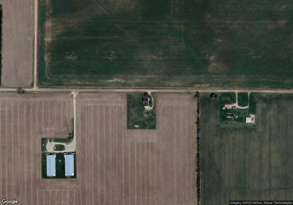
Map
Nearby Homes
- 10454 W Taft Rd
- 5121 Sunset Dr
- 4941 Skyline Dr
- 600 N Washington St
- 220 N Maple Ave
- 306 Russell St
- 00 S Skyline
- 129 E Main St
- 132 E Washington St
- 005 Skyline Dr
- TBD Oakridge Trail
- Lot 355 Oakridge Trail
- 159 Hardwood Trail
- TBD Hardwood Trail
- TBD E Main St
- 00 V/L Lakeside Dr
- 4231 W Roosevelt Rd
- 04 Lakeview Ct
- 05 Lakeview Ct
- 7240 Empire Rd
Your Personal Tour Guide
Ask me questions while you tour the home.