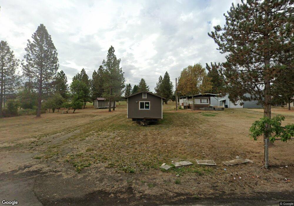
12798 S Highway 211 Molalla, OR 97038
Estimated Value: $98,000 - $623,000
2
Beds
1
Bath
840
Sq Ft
$385/Sq Ft
Est. Value
About This Home
This home is located at 12798 S Highway 211, Molalla, OR 97038 and is currently estimated at $323,812, approximately $385 per square foot. 12798 S Highway 211 is a home located in Clackamas County with nearby schools including Oregon Outreach - Molalla Pride.
Ownership History
Date
Name
Owned For
Owner Type
Purchase Details
Closed on
Aug 1, 2022
Sold by
Forristall Family Investments Llc
Bought by
Dean Leasing Llc
Current Estimated Value
Purchase Details
Closed on
May 23, 2017
Sold by
Crowley Russell
Bought by
Forristall Family Investment Llc
Purchase Details
Closed on
May 18, 2017
Sold by
Borromeo Alfred and Borromeo Cheryl
Bought by
Crowley Russell
Purchase Details
Closed on
Oct 13, 2010
Sold by
Borromeo Alfred and Borromeo Cheryl
Bought by
Borromeo Alfred and Borromeo Cheryl
Purchase Details
Closed on
Mar 5, 2002
Sold by
Herzog Barbara Jean
Bought by
Borromeo Alfred and Borromeo Cheryl
Create a Home Valuation Report for This Property
The Home Valuation Report is an in-depth analysis detailing your home's value as well as a comparison with similar homes in the area
Home Values in the Area
Average Home Value in this Area
Purchase History
| Date | Buyer | Sale Price | Title Company |
|---|---|---|---|
| Dean Leasing Llc | $2,320,000 | None Listed On Document | |
| Forristall Family Investment Llc | $38,500 | None Available | |
| Crowley Russell | $38,000 | First American | |
| Borromeo Alfred | -- | None Available | |
| Borromeo Alfred | $13,000 | First American Title Ins Co |
Source: Public Records
Tax History Compared to Growth
Tax History
| Year | Tax Paid | Tax Assessment Tax Assessment Total Assessment is a certain percentage of the fair market value that is determined by local assessors to be the total taxable value of land and additions on the property. | Land | Improvement |
|---|---|---|---|---|
| 2024 | $422 | $22,130 | -- | -- |
| 2023 | $422 | $21,486 | $0 | $0 |
| 2022 | $348 | $20,861 | $0 | $0 |
| 2021 | $334 | $20,254 | $0 | $0 |
| 2020 | $324 | $19,665 | $0 | $0 |
| 2019 | $315 | $19,093 | $0 | $0 |
| 2018 | $306 | $18,537 | $0 | $0 |
| 2017 | $294 | $17,997 | $0 | $0 |
| 2016 | $278 | $17,473 | $0 | $0 |
| 2015 | $270 | $16,964 | $0 | $0 |
| 2014 | $262 | $16,470 | $0 | $0 |
Source: Public Records
Map
Nearby Homes
- 1522 W Main St
- 1406 W Main St
- 31430 Oregon 213
- 1014 S View Dr
- 330 Forest Ln
- 900 Bear Creek Dr
- 1310 Boardwalk Ave
- 340 Doug Fir Ln
- 701 Oriental Ct
- 714 Saint James Place
- 850 N Valley Dr
- 0 W Main St Unit 765814723
- 913A Toliver Rd
- 31800 S Goodtime Rd
- 13434 S Lowe Rd
- 31514 S Bear Meadow Ct
- 947 Meadowlark Place
- 1237 Mount View Ln
- 30683 S Highway 213
- 648 Wedgewood Dr
- 1436 W Main St
- 1424 W Main St
- 1522 W Main St
- 12852 S Highway 211
- 1418 W Main St
- 12860 S Highway 211
- 1441 W Main St
- 1412 W Main St
- 12874 S Highway 211
- 1585 W Main St Unit 1
- 1400 Fountain Way
- 1400 Fountain Way Unit 1
- 13001 S Crompton Ln
- 12888 S Highway 211
- 1515 W Main St Unit Q
- 12745 S Crompton Ln
- 13001 S Crompton's Ln
- 12770 S Crompton Ln
- 0 Fountain Way Unit 2
- 31514 S Highway 213