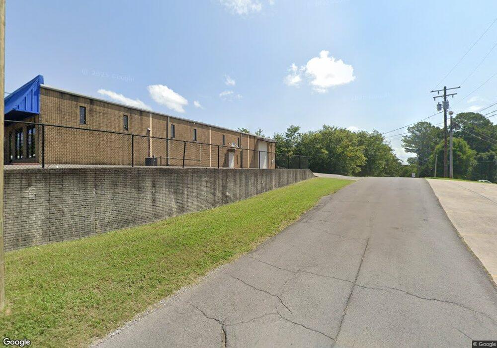
127C Downing St Dalton, GA 30721
Estimated Value: $117,000 - $165,912
--
Bed
1
Bath
720
Sq Ft
$187/Sq Ft
Est. Value
About This Home
This home is located at 127C Downing St, Dalton, GA 30721 and is currently estimated at $134,478, approximately $186 per square foot. 127C Downing St is a home located in Whitfield County with nearby schools including Eastside Elementary School, Eastbrook Middle School, and Southeast Whitfield County High School.
Ownership History
Date
Name
Owned For
Owner Type
Purchase Details
Closed on
Jul 5, 2023
Sold by
Solis Alemis
Bought by
Mendez Minerva and Mendez Hector A
Current Estimated Value
Home Financials for this Owner
Home Financials are based on the most recent Mortgage that was taken out on this home.
Original Mortgage
$80,000
Outstanding Balance
$35,143
Interest Rate
6.79%
Mortgage Type
Seller Take Back
Estimated Equity
$99,335
Purchase Details
Closed on
Jan 13, 2002
Sold by
Bagley Syilvea P
Bought by
Solis Alemis
Purchase Details
Closed on
Dec 1, 1999
Bought by
Bagley Syilvea P
Create a Home Valuation Report for This Property
The Home Valuation Report is an in-depth analysis detailing your home's value as well as a comparison with similar homes in the area
Home Values in the Area
Average Home Value in this Area
Purchase History
| Date | Buyer | Sale Price | Title Company |
|---|---|---|---|
| Mendez Minerva | $105,000 | None Listed On Document | |
| Solis Alemis | $94,500 | -- | |
| Bagley Syilvea P | -- | -- |
Source: Public Records
Mortgage History
| Date | Status | Borrower | Loan Amount |
|---|---|---|---|
| Open | Mendez Minerva | $80,000 |
Source: Public Records
Tax History Compared to Growth
Tax History
| Year | Tax Paid | Tax Assessment Tax Assessment Total Assessment is a certain percentage of the fair market value that is determined by local assessors to be the total taxable value of land and additions on the property. | Land | Improvement |
|---|---|---|---|---|
| 2024 | $1,157 | $44,835 | $7,600 | $37,235 |
| 2023 | $865 | $29,328 | $6,400 | $22,928 |
| 2022 | $644 | $21,827 | $4,284 | $17,543 |
| 2021 | $644 | $21,827 | $4,284 | $17,543 |
| 2020 | $666 | $21,827 | $4,284 | $17,543 |
| 2019 | $677 | $21,827 | $4,284 | $17,543 |
| 2018 | $688 | $21,827 | $4,284 | $17,543 |
| 2017 | $688 | $21,827 | $4,284 | $17,543 |
| 2016 | $576 | $18,985 | $4,284 | $14,701 |
| 2014 | $511 | $18,985 | $4,284 | $14,701 |
| 2013 | -- | $18,984 | $4,284 | $14,700 |
Source: Public Records
Map
Nearby Homes
- 213 Nashville St
- 00 Wooten Dr
- 115 Wooten Dr
- 307 Gay St
- 143 Staten St
- 359 Pacer Ln Unit 4
- TBD Old Grade Rd
- 0 Old Grade Rd
- 104 Elrod Dr
- 118 Hill Rd
- 1902 Bartenfield Dr
- 00 Tibbs Bridge Rd
- 136 Wiltshire Dr
- 1629 Roosevelt Dr
- 0 Dogwood Dr
- 1444 NE Thrasher Rd
- trac 2 Roosevelt Dr
- trac 3 Roosevelt Dr
- 2410 Martin Luther King Junior Blvd
- 0 Robinwood Dr
- 127D Downing St
- 111 Downing St
- 112 Downing St
- 108 Downing St
- 118 Downing St
- 102 Downing St
- 121 Downing St
- 100 Downing St
- 127 Downing St
- 2600 E Walnut Ave
- 2600 E Walnut Ave
- 200 Scobie Ave
- 139 Stanley St
- 135 Stanley St
- 123 Downing St
- 117 Scobie Ave
- 125 Downing St
- 106 Stanley St
- 109 Stanley St
- 153 Stanley St