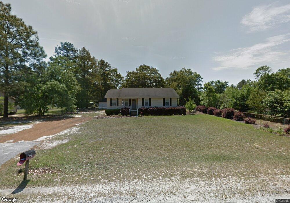
128 2nd Ave Lugoff, SC 29078
Estimated Value: $213,000 - $231,152
3
Beds
2
Baths
1,288
Sq Ft
$172/Sq Ft
Est. Value
About This Home
This home is located at 128 2nd Ave, Lugoff, SC 29078 and is currently estimated at $221,288, approximately $171 per square foot. 128 2nd Ave is a home located in Kershaw County with nearby schools including Lugoff Elementary School, Lugoff-Elgin Middle School, and Lugoff-Elgin High School.
Ownership History
Date
Name
Owned For
Owner Type
Purchase Details
Closed on
Dec 20, 2024
Sold by
Platt Carole P and Kibler Carole P
Bought by
Frazee Philip S and Munn Caroline V
Current Estimated Value
Home Financials for this Owner
Home Financials are based on the most recent Mortgage that was taken out on this home.
Original Mortgage
$219,696
Outstanding Balance
$217,771
Interest Rate
6.79%
Mortgage Type
New Conventional
Estimated Equity
$3,517
Purchase Details
Closed on
Jun 3, 2005
Sold by
Brown Denise
Bought by
Platt Carole P
Purchase Details
Closed on
Nov 6, 2002
Sold by
Bank One N A
Bought by
Brown Denise
Create a Home Valuation Report for This Property
The Home Valuation Report is an in-depth analysis detailing your home's value as well as a comparison with similar homes in the area
Purchase History
| Date | Buyer | Sale Price | Title Company |
|---|---|---|---|
| Frazee Philip S | $217,500 | None Listed On Document | |
| Platt Carole P | $87,500 | -- | |
| Brown Denise | $60,000 | -- |
Source: Public Records
Mortgage History
| Date | Status | Borrower | Loan Amount |
|---|---|---|---|
| Open | Frazee Philip S | $219,696 |
Source: Public Records
Tax History
| Year | Tax Paid | Tax Assessment Tax Assessment Total Assessment is a certain percentage of the fair market value that is determined by local assessors to be the total taxable value of land and additions on the property. | Land | Improvement |
|---|---|---|---|---|
| 2025 | $762 | $217,500 | $20,000 | $197,500 |
| 2024 | $762 | $99,000 | $16,000 | $83,000 |
| 2023 | $766 | $99,000 | $16,000 | $83,000 |
| 2022 | $742 | $99,000 | $16,000 | $83,000 |
| 2021 | $653 | $99,000 | $16,000 | $83,000 |
| 2020 | $588 | $78,800 | $16,000 | $62,800 |
| 2019 | $605 | $78,800 | $16,000 | $62,800 |
| 2018 | $590 | $78,800 | $16,000 | $62,800 |
| 2017 | $573 | $78,800 | $16,000 | $62,800 |
| 2016 | $577 | $80,600 | $16,000 | $64,600 |
| 2015 | $397 | $80,600 | $16,000 | $64,600 |
| 2014 | $397 | $0 | $0 | $0 |
Source: Public Records
Map
Nearby Homes
- 1127 Bayview Dr
- 1035 Rampart Ct
- 1124 Brock Cir
- 1148 Hwy1 S
- 21 Heatherwood Dr
- 106 Lakewood Dr
- 99 Horatio Ln
- 103 Horatio Ln
- 95 Horatio Ln
- 91 Horatio Ln
- 1054 Rampart Ct
- 1023 Rampart Ct
- 1031 Rampart Ct
- 1026 Rampart Ct
- 1018 Rampart Ct
- 1042 Rampart Ct
- 1034 Rampart Ct
- 1027 Rampart Ct
- 1030 Rampart Ct
- 1022 Rampart Ct
- 120 2nd Ave
- 84 Truesdell Ave
- 80 State Road S-28-356
- 1147 Spring Rd
- 90A Truesdell Ave
- 80 Truesdell Ave
- 1141 Spring Rd
- 125 2nd Ave
- 1055 Critzer Dr Unit 1
- 1154 Spring Rd
- 1137 Spring Rd
- 75 Truesdell Ave
- 89 Truesdell Ave
- 1148 Spring Rd
- 1059 Critzer Dr
- 122 1st Ave
- 69 Truesdell Ave
- 93 Truesdell Ave
- 1144 Spring Rd
- 1060 Critzer Dr
Your Personal Tour Guide
Ask me questions while you tour the home.