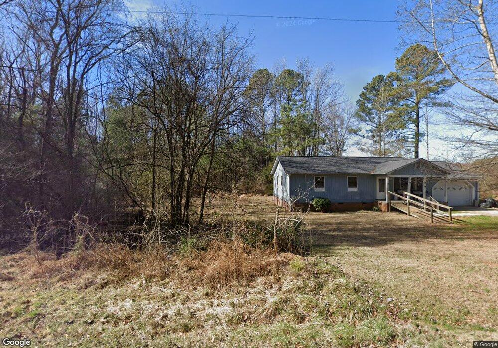
128 Adolph Taylor Rd Pittsboro, NC 27312
Estimated Value: $328,000
3
Beds
1
Bath
1,196
Sq Ft
$274/Sq Ft
Est. Value
About This Home
This home is located at 128 Adolph Taylor Rd, Pittsboro, NC 27312 and is currently estimated at $328,000, approximately $274 per square foot. 128 Adolph Taylor Rd is a home with nearby schools including Pittsboro Elementary School, George Moses Horton Middle School, and Northwood High.
Ownership History
Date
Name
Owned For
Owner Type
Purchase Details
Closed on
Aug 30, 2023
Sold by
Swann Althea Brooks and Eaves Barbara Ann
Bought by
Swann Althea Brooks
Current Estimated Value
Purchase Details
Closed on
Aug 7, 2013
Sold by
Eaves Herbert and Eaves Barbara R
Bought by
Eaves Herbert and Swann Althea Brooks
Create a Home Valuation Report for This Property
The Home Valuation Report is an in-depth analysis detailing your home's value as well as a comparison with similar homes in the area
Home Values in the Area
Average Home Value in this Area
Purchase History
| Date | Buyer | Sale Price | Title Company |
|---|---|---|---|
| Swann Althea Brooks | -- | None Listed On Document | |
| Swann Althea Brooks | -- | None Listed On Document | |
| Eaves Herbert | -- | None Available |
Source: Public Records
Tax History Compared to Growth
Tax History
| Year | Tax Paid | Tax Assessment Tax Assessment Total Assessment is a certain percentage of the fair market value that is determined by local assessors to be the total taxable value of land and additions on the property. | Land | Improvement |
|---|---|---|---|---|
| 2025 | $1,332 | $165,457 | $129,481 | $35,976 |
| 2024 | $1,332 | $133,348 | $95,179 | $38,169 |
| 2023 | $1,286 | $133,348 | $95,179 | $38,169 |
| 2022 | $1,180 | $133,348 | $95,179 | $38,169 |
| 2021 | $1,180 | $133,348 | $95,179 | $38,169 |
| 2020 | $1,540 | $178,564 | $165,600 | $12,964 |
| 2019 | $1,540 | $178,564 | $165,600 | $12,964 |
| 2018 | $2,048 | $178,564 | $165,600 | $12,964 |
| 2017 | $2,048 | $239,566 | $165,600 | $73,966 |
| 2016 | $1,636 | $183,289 | $129,375 | $53,914 |
| 2015 | $1,614 | $183,289 | $129,375 | $53,914 |
| 2014 | -- | $183,289 | $129,375 | $53,914 |
| 2013 | -- | $82,874 | $28,960 | $53,914 |
Source: Public Records
Map
Nearby Homes
- 323 Wagon Trace
- 126 Roberson Creek Rd
- 1701 Mitchells Chapel Rd
- 1210 Manco Dairy Rd
- Lot 1 B Turkey Buzzard Ln
- Lot 1 C Turkey Buzzard Ln
- Lot 1 D Turkey Buzzard Ln
- Tbd Jahue Ln
- 0 Robert Alston Jr Dr Unit 2491587
- 75 Clarence Brooks Rd
- 001 Turn Key Way
- 652 Richardson Rd
- 194 Jack Alston Rd
- 248 Ashford Dr
- 000 Alston Chapel Rd
- 0 Major Lee Rd Unit 10134911
- 303 Wendover Pkwy
- 0 N Carolina 902
- 00 N Carolina 902
- TBD Alston Horton Service Rd
- 154 Adolph Taylor Rd
- 240 Adolph Taylor Rd
- 81 Adolph Taylor Rd
- 61 Adolph Taylor Rd
- 55 Adolph Taylor Rd
- 0 Adolph Taylor Rd Unit TR2031935
- 0 Adolph Taylor Rd Unit TR2080709
- 307 Adolph Taylor Rd
- 300 Adolph Taylor Rd
- 47 Adolph Taylor Rd
- 15 Adolph Taylor Rd
- 334 Adolph Taylor Rd
- 2911 Us Highway 64 W
- 327 Adolph Taylor Rd
- 366 Adolph Taylor Rd
- 1087 Old Siler City Rd
- 1205 Old Siler City Rd
- 2908 U S 64 Business W
- 2807 Us Highway 64 W
- 2908 Us Highway 64 W