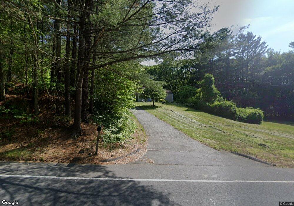
128 Apremont Hwy Holyoke, MA 01040
Estimated Value: $228,000 - $325,421
2
Beds
1
Bath
1,188
Sq Ft
$241/Sq Ft
Est. Value
About This Home
This home is located at 128 Apremont Hwy, Holyoke, MA 01040 and is currently estimated at $286,105, approximately $240 per square foot. 128 Apremont Hwy is a home located in Hampden County with nearby schools including Harriet Bishop Elementary School, Lt. Elmer J. McMahon Elementary School, and Holyoke High School.
Ownership History
Date
Name
Owned For
Owner Type
Purchase Details
Closed on
Dec 12, 2005
Sold by
Simmons Althea N
Bought by
Mcintyre Kevin P and Swinehart Sarah A
Current Estimated Value
Home Financials for this Owner
Home Financials are based on the most recent Mortgage that was taken out on this home.
Original Mortgage
$104,000
Outstanding Balance
$57,773
Interest Rate
6.17%
Mortgage Type
Purchase Money Mortgage
Estimated Equity
$228,332
Create a Home Valuation Report for This Property
The Home Valuation Report is an in-depth analysis detailing your home's value as well as a comparison with similar homes in the area
Home Values in the Area
Average Home Value in this Area
Purchase History
| Date | Buyer | Sale Price | Title Company |
|---|---|---|---|
| Mcintyre Kevin P | $104,000 | -- |
Source: Public Records
Mortgage History
| Date | Status | Borrower | Loan Amount |
|---|---|---|---|
| Open | Mcintyre Kevin P | $104,000 |
Source: Public Records
Tax History Compared to Growth
Tax History
| Year | Tax Paid | Tax Assessment Tax Assessment Total Assessment is a certain percentage of the fair market value that is determined by local assessors to be the total taxable value of land and additions on the property. | Land | Improvement |
|---|---|---|---|---|
| 2025 | $4,365 | $250,000 | $75,900 | $174,100 |
| 2024 | $4,177 | $220,400 | $72,300 | $148,100 |
| 2023 | $4,013 | $213,900 | $72,300 | $141,600 |
| 2022 | $3,894 | $202,200 | $72,300 | $129,900 |
| 2021 | $3,704 | $192,200 | $69,200 | $123,000 |
| 2020 | $3,534 | $185,200 | $69,200 | $116,000 |
| 2019 | $3,530 | $183,000 | $69,200 | $113,800 |
| 2018 | $1,309 | $177,100 | $69,200 | $107,900 |
| 2017 | $3,395 | $177,100 | $69,200 | $107,900 |
| 2016 | $3,373 | $176,400 | $71,400 | $105,000 |
| 2015 | $3,359 | $176,400 | $71,400 | $105,000 |
Source: Public Records
Map
Nearby Homes
- 405 Rock Valley Rd
- 103 Dupuis Rd
- Lot A Homestead Ave
- 794 Homestead Ave
- 4 Fitch Farm Way
- 33 Maple Crest Cir Unit D
- 15 Maple Crest Cir Unit D
- 34 Maple Crest Cir Unit B
- 94 Pequot Rd (Rear)
- 36 County Rd
- lot b Homestead Ave
- 84 Woodland St
- 53 Farnum Dr Unit 53
- 150 Middle Rd
- 43 King St
- Lot 57 White Loaf Rd
- 70-72 Westfield Rd
- 64 Old Stage Rd
- 46 Cherry Hill
- 42 Arnodale Ave
- 120 Apremont Hwy
- 140 Apremont Hwy
- 154 Apremont Hwy
- 108 Apremont Hwy
- 104 Apremont Hwy
- 22 Old Rock Valley Rd
- 14 Old Rock Valley Rd
- 94 Apremont Hwy
- 101 Apremont Hwy
- 10 Old Rock Valley Rd
- 562 Rock Valley Rd
- 592 Rock Valley Rd
- 88 Apremont Hwy
- 554 Rock Valley Rd
- 190 Apremont Hwy
- 200 Apremont Hwy
- 193 Apremont Hwy
- 197 Apremont Hwy
- 527 Rock Valley Rd
- 210 Apremont Hwy