128 Bankstown Rd Mapleton Depot, PA 17052
Estimated Value: $50,000 - $123,000
1
Bed
--
Bath
916
Sq Ft
$89/Sq Ft
Est. Value
About This Home
This home is located at 128 Bankstown Rd, Mapleton Depot, PA 17052 and is currently estimated at $81,263, approximately $88 per square foot. 128 Bankstown Rd is a home with nearby schools including Mount Union Area Senior High School.
Ownership History
Date
Name
Owned For
Owner Type
Purchase Details
Closed on
Jan 6, 2020
Sold by
Community State Bank Of Orbisonia
Bought by
Huntingdon Area Habitat For Humanity Inc
Current Estimated Value
Purchase Details
Closed on
Jun 17, 2019
Sold by
Foster Gregory R and Foster Amy M
Bought by
Community State Bank Of Orbisonia
Purchase Details
Closed on
Jun 9, 2017
Sold by
Huntingdon County Tax Claim Bureau
Bought by
Hoffer Michael and Hoffer Dawn
Create a Home Valuation Report for This Property
The Home Valuation Report is an in-depth analysis detailing your home's value as well as a comparison with similar homes in the area
Home Values in the Area
Average Home Value in this Area
Purchase History
| Date | Buyer | Sale Price | Title Company |
|---|---|---|---|
| Huntingdon Area Habitat For Humanity Inc | $30,000 | None Available | |
| Community State Bank Of Orbisonia | $2,918 | None Available | |
| Hoffer Michael | $2,613 | None Available |
Source: Public Records
Tax History Compared to Growth
Tax History
| Year | Tax Paid | Tax Assessment Tax Assessment Total Assessment is a certain percentage of the fair market value that is determined by local assessors to be the total taxable value of land and additions on the property. | Land | Improvement |
|---|---|---|---|---|
| 2025 | $1,750 | $24,960 | $720 | $24,240 |
| 2024 | $1,357 | $19,920 | $720 | $19,200 |
| 2023 | $1,267 | $19,920 | $720 | $19,200 |
| 2022 | $1,260 | $19,920 | $720 | $19,200 |
| 2021 | $1,259 | $19,920 | $720 | $19,200 |
| 2020 | $1,288 | $19,920 | $720 | $19,200 |
| 2019 | $766 | $12,320 | $800 | $11,520 |
| 2018 | $767 | $12,320 | $800 | $11,520 |
| 2017 | $764 | $12,320 | $800 | $11,520 |
| 2016 | $730 | $12,320 | $800 | $11,520 |
| 2015 | $729 | $12,320 | $800 | $11,520 |
| 2014 | -- | $12,320 | $800 | $11,520 |
Source: Public Records
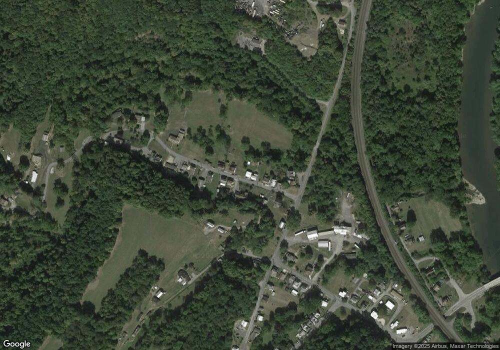
Map
Nearby Homes
- 569 Glendower St
- 12916 Honeysuckle Ln
- 14061 Smith Valley Rd
- 12860 Corbin Rd
- 8165 Sand Rock Rd
- 9884 Main St
- 0 Corbin Rd
- Lot William Penn Hwy
- 237 W Davis St
- On Raymond Rd
- 0 Raymond Rd
- 104 W Halley St
- 33 W Garber St
- Lot 11 Scooby Ln
- 9 Longhorn Rd Unit WP009
- 4 Longhorn Rd
- 17 Longhorn Rd
- 13 Longhorn Rd
- 170 Longhorn Rd
- 20 Longhorn Rd
- 120 Bankstown Rd
- 116 Bankstown Rd
- 144 Bankstown Rd
- 139 Bankstown Rd
- 113 Bankstown Rd
- 114 Bankstown Rd
- 152 Bankstown Rd
- 13295 Smith Valley Rd
- 143 Bankstown Rd
- 147 Bankstown Rd
- 228 Callowhill St
- Lot Smith Valley Rd
- 0 Smith Valley Rd
- 5 Smith Valley Rd
- 4 Smith Valley Rd
- On Smith Valley Rd
- 157 Bankstown Rd
- RR1 B10 Bankstown Rd
- 254 Callowhill St
- 167 Bankstown Rd