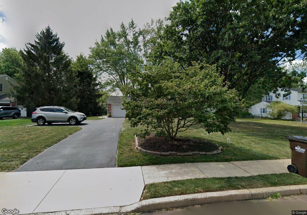
128 Bates Dr Chalfont, PA 18914
Estimated Value: $533,050 - $628,000
--
Bed
3
Baths
2,053
Sq Ft
$281/Sq Ft
Est. Value
About This Home
This home is located at 128 Bates Dr, Chalfont, PA 18914 and is currently estimated at $576,513, approximately $280 per square foot. 128 Bates Dr is a home located in Bucks County with nearby schools including Simon Butler Elementary, Unami Middle School, and Central Bucks High School - South.
Ownership History
Date
Name
Owned For
Owner Type
Purchase Details
Closed on
Nov 19, 1998
Sold by
Vanderslice John Francis and Vanderslice Maureen Ruth Mcgrath
Bought by
Lacotta Jerome M and Lacotta Brenda M
Current Estimated Value
Home Financials for this Owner
Home Financials are based on the most recent Mortgage that was taken out on this home.
Original Mortgage
$130,000
Outstanding Balance
$28,600
Interest Rate
6.68%
Estimated Equity
$547,913
Purchase Details
Closed on
Mar 23, 1971
Bought by
Vanderslice John F and Vanderslice Mcgrath M
Create a Home Valuation Report for This Property
The Home Valuation Report is an in-depth analysis detailing your home's value as well as a comparison with similar homes in the area
Home Values in the Area
Average Home Value in this Area
Purchase History
| Date | Buyer | Sale Price | Title Company |
|---|---|---|---|
| Lacotta Jerome M | $190,000 | -- | |
| Vanderslice John F | -- | -- |
Source: Public Records
Mortgage History
| Date | Status | Borrower | Loan Amount |
|---|---|---|---|
| Open | Lacotta Jerome M | $130,000 |
Source: Public Records
Tax History Compared to Growth
Tax History
| Year | Tax Paid | Tax Assessment Tax Assessment Total Assessment is a certain percentage of the fair market value that is determined by local assessors to be the total taxable value of land and additions on the property. | Land | Improvement |
|---|---|---|---|---|
| 2025 | $4,991 | $28,800 | $6,440 | $22,360 |
| 2024 | $4,991 | $28,800 | $6,440 | $22,360 |
| 2023 | $4,832 | $28,800 | $6,440 | $22,360 |
| 2022 | $4,737 | $28,800 | $6,440 | $22,360 |
| 2021 | $4,683 | $28,800 | $6,440 | $22,360 |
| 2020 | $4,683 | $28,800 | $6,440 | $22,360 |
| 2019 | $4,626 | $28,800 | $6,440 | $22,360 |
| 2018 | $4,626 | $28,800 | $6,440 | $22,360 |
| 2017 | $4,590 | $28,800 | $6,440 | $22,360 |
| 2016 | $4,590 | $28,800 | $6,440 | $22,360 |
| 2015 | -- | $28,800 | $6,440 | $22,360 |
| 2014 | -- | $28,800 | $6,440 | $22,360 |
Source: Public Records
Map
Nearby Homes
- 200 Cornwall Dr
- 0 S Limekiln Pike
- 722 Upper State Rd
- 40 E Butler Ave
- 10 Kerns Ave
- 129 Cambridge Place
- 14 Woodside Ave
- 103 Bonnie Lark Ct
- 136 Tartan Terrace
- The Brentwood Plan at Barclay Hill
- The Banbury Plan at Barclay Hill
- The Brookhaven Plan at Barclay Hill
- 202 Shepard Ln
- 116 Tartan Terrace
- 26 Park Ave Unit A16
- 214 Prince William Way
- 201 Coventry Rd
- 241 Coventry Rd
- 957 Hickory Ridge Dr
- 215 Hibiscus Dr