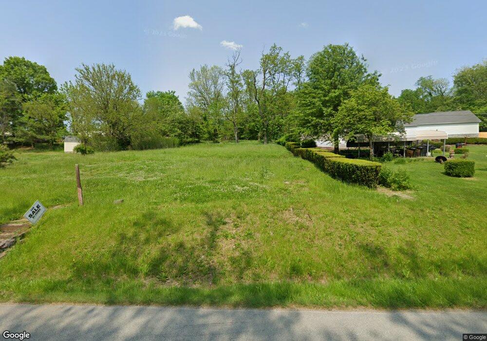
128 Cinder Rd Uniontown, PA 15401
Estimated Value: $15,851 - $242,000
2
Beds
1
Bath
768
Sq Ft
$139/Sq Ft
Est. Value
About This Home
This home is located at 128 Cinder Rd, Uniontown, PA 15401 and is currently estimated at $106,463, approximately $138 per square foot. 128 Cinder Rd is a home located in Fayette County with nearby schools including Laurel Highlands Senior High School, St. John the Evangelist School, and Chestnut Ridge Christian Academy.
Ownership History
Date
Name
Owned For
Owner Type
Purchase Details
Closed on
Aug 6, 2025
Sold by
David Mattie M
Bought by
Fay West Development Llc
Current Estimated Value
Purchase Details
Closed on
Oct 11, 2024
Sold by
G & B Real Estate Holdings Llc
Bought by
David Mattie M
Purchase Details
Closed on
Sep 27, 2022
Sold by
South Union Township
Bought by
G & B Real Estate Holdings Llc
Purchase Details
Closed on
Nov 12, 2021
Sold by
Ransaw Betty Jean
Bought by
South Union Township
Purchase Details
Closed on
Jun 29, 2017
Sold by
Ransaw James F and Estate Of Denise Ransaw
Bought by
Ransaw Betty Jean
Purchase Details
Closed on
Sep 12, 1983
Bought by
Ransaw Denise K
Create a Home Valuation Report for This Property
The Home Valuation Report is an in-depth analysis detailing your home's value as well as a comparison with similar homes in the area
Home Values in the Area
Average Home Value in this Area
Purchase History
| Date | Buyer | Sale Price | Title Company |
|---|---|---|---|
| Fay West Development Llc | $7,000 | None Listed On Document | |
| Fay West Development Llc | $7,000 | None Listed On Document | |
| David Mattie M | $7,500 | None Listed On Document | |
| G & B Real Estate Holdings Llc | $6,500 | -- | |
| South Union Township | -- | None Available | |
| Ransaw Betty Jean | -- | None Available | |
| Ransaw Denise K | $15,000 | -- |
Source: Public Records
Tax History Compared to Growth
Tax History
| Year | Tax Paid | Tax Assessment Tax Assessment Total Assessment is a certain percentage of the fair market value that is determined by local assessors to be the total taxable value of land and additions on the property. | Land | Improvement |
|---|---|---|---|---|
| 2025 | $39 | $1,360 | $1,360 | $0 |
| 2024 | $38 | $1,360 | $1,360 | $0 |
| 2023 | $73 | $1,360 | $1,360 | $0 |
| 2022 | $790 | $14,945 | $4,530 | $10,415 |
| 2021 | $768 | $14,945 | $4,530 | $10,415 |
| 2020 | $768 | $14,945 | $4,530 | $10,415 |
| 2019 | $705 | $14,945 | $4,530 | $10,415 |
| 2018 | $684 | $14,945 | $4,530 | $10,415 |
| 2017 | $684 | $14,945 | $4,530 | $10,415 |
| 2016 | -- | $14,945 | $4,530 | $10,415 |
| 2015 | -- | $14,945 | $4,530 | $10,415 |
| 2014 | -- | $29,890 | $9,060 | $20,830 |
Source: Public Records
Map
Nearby Homes
- 302 Crossland Ave
- 86 Virginia Ave
- 404 Shannon Dr
- 1019 Kimberly Dr
- 81 Baron Ct
- 26 Belmont Cir
- 67 Stewart Ave
- 76 Baron Ct
- 149 Coolspring St
- 8 1/2 Apple St
- Lot 15 Baron Ct
- Lot 3 Baron Ct
- Lot 4 Baron Ct
- Lot 19 Baron Ct
- Lot 14 Baron Ct
- 192 Searight Ave
- 26 Sycamore St
- 23 Thomas St
- 32 Coolspring St
- 30 Collins Ave