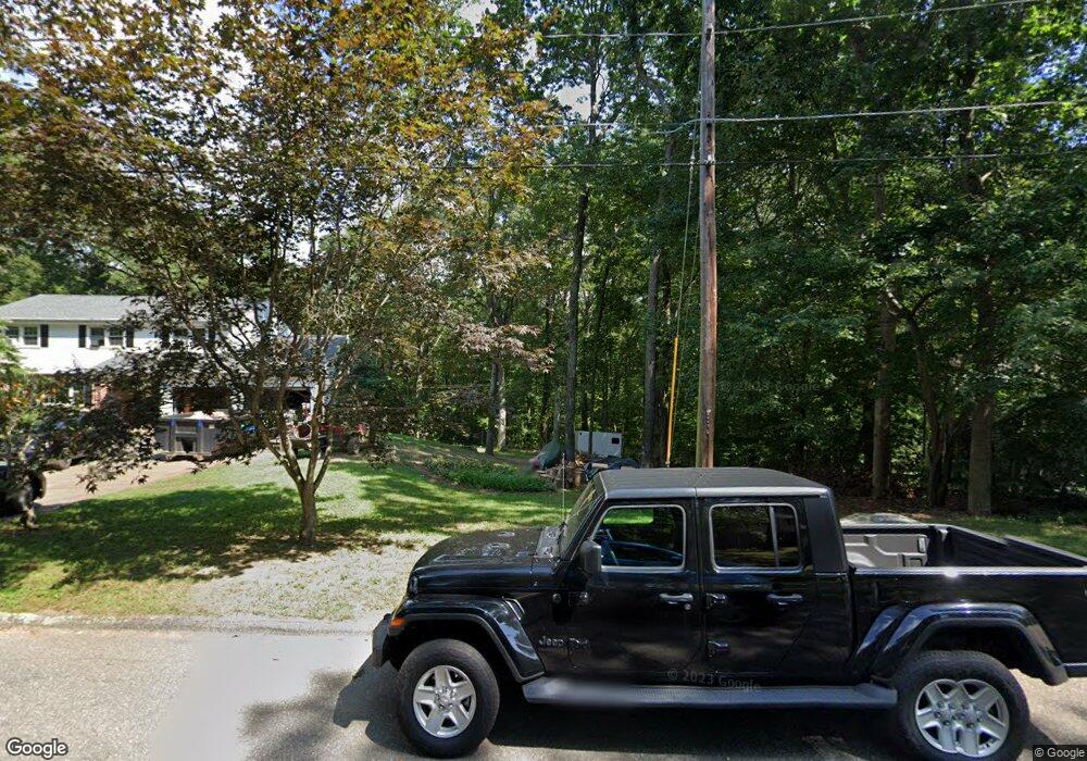
128 David Dr Coventry, CT 06238
Estimated Value: $369,000 - $534,000
2
Beds
2
Baths
1,216
Sq Ft
$345/Sq Ft
Est. Value
About This Home
This home is located at 128 David Dr, Coventry, CT 06238 and is currently estimated at $419,736, approximately $345 per square foot. 128 David Dr is a home located in Tolland County with nearby schools including Coventry Grammar School, George Hersey Robertson School, and Capt. Nathan Hale School.
Ownership History
Date
Name
Owned For
Owner Type
Purchase Details
Closed on
Aug 31, 2021
Sold by
Jamaitus Jeffrey and Jamaitus Susan E
Bought by
Jamaitus Nicholas A
Current Estimated Value
Home Financials for this Owner
Home Financials are based on the most recent Mortgage that was taken out on this home.
Original Mortgage
$262,626
Outstanding Balance
$238,613
Interest Rate
2.7%
Mortgage Type
Purchase Money Mortgage
Estimated Equity
$181,123
Purchase Details
Closed on
Jul 17, 1986
Bought by
Jamaitus Jeffrey
Create a Home Valuation Report for This Property
The Home Valuation Report is an in-depth analysis detailing your home's value as well as a comparison with similar homes in the area
Home Values in the Area
Average Home Value in this Area
Purchase History
| Date | Buyer | Sale Price | Title Company |
|---|---|---|---|
| Jamaitus Nicholas A | $260,000 | None Available | |
| Jamaitus Nicholas A | $260,000 | None Available | |
| Jamaitus Jeffrey | -- | -- |
Source: Public Records
Mortgage History
| Date | Status | Borrower | Loan Amount |
|---|---|---|---|
| Open | Jamaitus Nicholas A | $262,626 | |
| Closed | Jamaitus Nicholas A | $262,626 | |
| Previous Owner | Jamaitus Jeffrey | $140,000 | |
| Previous Owner | Jamaitus Jeffrey | $40,000 | |
| Previous Owner | Jamaitus Jeffrey | $12,000 | |
| Previous Owner | Jamaitus Jeffrey | $105,000 |
Source: Public Records
Tax History Compared to Growth
Tax History
| Year | Tax Paid | Tax Assessment Tax Assessment Total Assessment is a certain percentage of the fair market value that is determined by local assessors to be the total taxable value of land and additions on the property. | Land | Improvement |
|---|---|---|---|---|
| 2025 | $6,425 | $270,400 | $87,300 | $183,100 |
| 2024 | $5,440 | $163,300 | $75,400 | $87,900 |
| 2023 | $5,183 | $163,300 | $75,400 | $87,900 |
| 2022 | $5,087 | $163,300 | $75,400 | $87,900 |
| 2021 | $5,087 | $163,300 | $75,400 | $87,900 |
| 2020 | $5,090 | $163,300 | $75,400 | $87,900 |
| 2019 | $5,258 | $163,300 | $75,400 | $87,900 |
| 2018 | $5,516 | $171,300 | $75,400 | $95,900 |
| 2017 | $5,482 | $171,300 | $75,400 | $95,900 |
| 2016 | $5,345 | $171,300 | $75,400 | $95,900 |
| 2015 | $5,345 | $171,300 | $75,400 | $95,900 |
| 2014 | $5,327 | $187,100 | $93,700 | $93,400 |
Source: Public Records
Map
Nearby Homes
- 106 David Dr
- 1295 N River Rd
- 226 Goose Ln
- 0 Merrow Rd Unit 24141193
- 20 Barlow Dr
- 8 Walbridge Hill Rd
- 49 Walbridge Hill Rd
- 1728 Stafford Rd
- 312 Merrow Rd
- 14 Woodland St
- 284 Merrow Rd
- 317 Merrow Rd
- 864 Boston Turnpike
- 248 Merrow Rd
- 137 Anthony Rd
- 159 Anthony Rd
- 456 Grant Hill Rd
- 167 Baxter Rd
- 395 Grant Hill Rd Unit Lot21
- 395 Grant Hill (Mill Race Drive) Lot #21 Rd