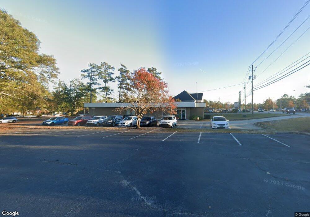
128 Davis Rd Augusta, GA 30907
Estimated Value: $688,495
Studio
2
Baths
3,454
Sq Ft
$199/Sq Ft
Est. Value
About This Home
This home is located at 128 Davis Rd, Augusta, GA 30907 and is currently estimated at $688,495, approximately $199 per square foot. 128 Davis Rd is a home located in Columbia County with nearby schools including Stevens Creek Elementary School, Stallings Island Middle School, and Lakeside High School.
Ownership History
Date
Name
Owned For
Owner Type
Purchase Details
Closed on
Apr 29, 2020
Sold by
Spectrum Properties Llc
Bought by
Brown Family Holdings Llc
Current Estimated Value
Home Financials for this Owner
Home Financials are based on the most recent Mortgage that was taken out on this home.
Original Mortgage
$359,200
Interest Rate
3.3%
Mortgage Type
Commercial
Purchase Details
Closed on
Dec 19, 2006
Sold by
Liberty National Life Insurance Co
Bought by
Spectrum Properties Llc
Home Financials for this Owner
Home Financials are based on the most recent Mortgage that was taken out on this home.
Original Mortgage
$355,145
Interest Rate
6.1%
Mortgage Type
New Conventional
Create a Home Valuation Report for This Property
The Home Valuation Report is an in-depth analysis detailing your home's value as well as a comparison with similar homes in the area
Home Values in the Area
Average Home Value in this Area
Purchase History
| Date | Buyer | Sale Price | Title Company |
|---|---|---|---|
| Brown Family Holdings Llc | $449,000 | -- | |
| Spectrum Properties Llc | $400,000 | -- |
Source: Public Records
Mortgage History
| Date | Status | Borrower | Loan Amount |
|---|---|---|---|
| Closed | Brown Family Holdings Llc | $359,200 | |
| Previous Owner | Spectrum Properties Llc | $355,145 |
Source: Public Records
Tax History Compared to Growth
Tax History
| Year | Tax Paid | Tax Assessment Tax Assessment Total Assessment is a certain percentage of the fair market value that is determined by local assessors to be the total taxable value of land and additions on the property. | Land | Improvement |
|---|---|---|---|---|
| 2025 | $4,067 | $170,605 | $69,392 | $101,213 |
| 2024 | $4,292 | $171,858 | $69,392 | $102,466 |
| 2023 | $4,292 | $177,880 | $69,392 | $108,488 |
| 2022 | $4,540 | $174,822 | $69,392 | $105,430 |
| 2021 | $4,537 | $166,977 | $69,392 | $97,585 |
| 2020 | $4,618 | $166,430 | $69,368 | $97,062 |
| 2019 | $4,217 | $151,968 | $69,368 | $82,600 |
| 2018 | $4,189 | $150,462 | $69,368 | $81,094 |
| 2017 | $4,146 | $148,412 | $69,368 | $79,044 |
| 2016 | $3,883 | $144,150 | $69,344 | $74,806 |
| 2015 | $3,969 | $147,085 | $69,344 | $77,741 |
| 2014 | $4,108 | $150,329 | $69,344 | $80,985 |
Source: Public Records
Map
Nearby Homes
- 912 Cammaron Way
- 270 Rose St
- 3323 Ravenwood Dr
- 304 Hornhead Dr
- 33 Londonberry Ln
- 2208 Pleasant Dr
- 3310 Sandpiper Ln
- 2904 Pleasant Ct
- 124 Brittany Way
- 0 Settlement Rd
- 3311 Ansley Ct
- 255 Settlement Rd
- 3927 Mack Rd
- 306 Pleasant Home Rd
- 3807 Pine Knoll Ct
- 207 Caribe Dr
- 2944 Foxhall Cir
- 2921 Foxhall Cir
- 3315 Sugar Mill Rd
- 2928 Running Creek Ln
- 124 Davis Rd
- 3736 Executive Center Dr
- 123 Davis Rd Unit B
- 3714 King Rd
- 134 Davis Rd
- 3711 Executive Center Dr
- 3723 Executive Center Dr
- 118 Davis Rd
- 125 Davis Rd
- 3810 Oak Dr
- 114 Davis Rd
- 404 Osprey Dr
- 3706 Executive Center Dr
- 3710 King Rd
- 3708 Executive Center Dr
- 127 Davis Rd
- 3353 Ravenwood Dr
- 3720 Executive Center Dr
- 3720 Executive Center Dr Unit B
- 3720 Executive Center Dr Unit A