Estimated Value: $642,000 - $718,000
3
Beds
2
Baths
2,332
Sq Ft
$294/Sq Ft
Est. Value
About This Home
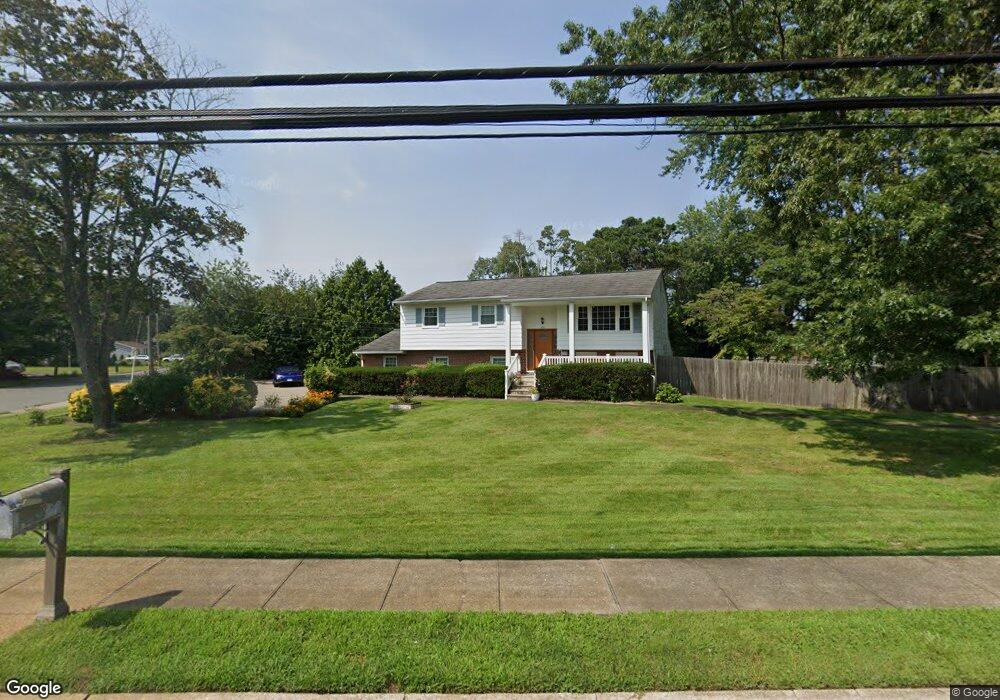
This home is located at 128 Drum Point Rd, Brick, NJ 08723 and is currently estimated at $685,099, approximately $293 per square foot. 128 Drum Point Rd is a home located in Ocean County with nearby schools including Emma Havens Young Elementary School, Lake Riviera Middle School, and Brick Township High School.
Ownership History
Date
Name
Owned For
Owner Type
Purchase Details
Closed on
Feb 9, 2007
Sold by
Kawa Christopher and Kawa Kendell
Bought by
Koehler Patricia P
Current Estimated Value
Home Financials for this Owner
Home Financials are based on the most recent Mortgage that was taken out on this home.
Original Mortgage
$185,000
Outstanding Balance
$111,299
Interest Rate
6.24%
Mortgage Type
Purchase Money Mortgage
Estimated Equity
$573,800
Purchase Details
Closed on
Feb 10, 2000
Sold by
Jones James
Bought by
Kawa Christopher and Kawa Kendell
Home Financials for this Owner
Home Financials are based on the most recent Mortgage that was taken out on this home.
Original Mortgage
$172,000
Interest Rate
8.4%
Purchase Details
Closed on
Sep 30, 1994
Sold by
Mutter Eric
Bought by
Jones James and Jones Dorothy
Create a Home Valuation Report for This Property
The Home Valuation Report is an in-depth analysis detailing your home's value as well as a comparison with similar homes in the area
Home Values in the Area
Average Home Value in this Area
Purchase History
| Date | Buyer | Sale Price | Title Company |
|---|---|---|---|
| Koehler Patricia P | $475,000 | Lawyers Title Insurance Corp | |
| Kawa Christopher | $215,000 | -- | |
| Jones James | $185,000 | -- |
Source: Public Records
Mortgage History
| Date | Status | Borrower | Loan Amount |
|---|---|---|---|
| Open | Koehler Patricia P | $185,000 | |
| Previous Owner | Kawa Christopher | $172,000 |
Source: Public Records
Tax History
| Year | Tax Paid | Tax Assessment Tax Assessment Total Assessment is a certain percentage of the fair market value that is determined by local assessors to be the total taxable value of land and additions on the property. | Land | Improvement |
|---|---|---|---|---|
| 2025 | $9,673 | $374,500 | $228,400 | $146,100 |
| 2024 | $9,194 | $374,500 | $228,400 | $146,100 |
Source: Public Records
Map
Nearby Homes
- 2595 Hooper Ave
- 439 Carlisa Dr
- 494 Manchester Ave
- 475 Myrtle Ave
- 866 Sterling Ave
- 513 Glenwood Ave
- 230 Drum Point Rd
- 458 E End Ave
- 965 Gloucester Ave
- 3 W Pier
- 65 S Pier
- 769 Pine Dr
- 746 Pine Dr
- 19 Moholo Ct Unit 19
- 699 Mantoloking Rd
- 744 Pine Dr
- 415 N Lake Shore Dr
- 4 Mayfair Ct
- 683 Mantoloking Rd
- 9 Gloria Ann Smith Dr
- 419 Osborn Ave
- 423 Osborn Ave
- 125 Drum Point Rd
- 121 Drum Point Rd
- 422 Osborn Ave
- 137 Drum Point Rd
- 423 Vine St
- 427 Vine St
- 426 Osborn Ave
- 431 Vine St
- 435 Vine St
- 430 Osborn Ave
- 422 Old Silverton Rd
- 427 Old Silverton Rd
- 435 Osborn Ave
- 434 Osborn Ave
- 430 Vine St
- 442 Vine St
- 426 Vine St
- 418 Old Silverton Rd
Your Personal Tour Guide
Ask me questions while you tour the home.