128 Drummond Rd West Point, GA 31833
Estimated Value: $324,000 - $501,000
3
Beds
3
Baths
1,922
Sq Ft
$204/Sq Ft
Est. Value
About This Home
This home is located at 128 Drummond Rd, West Point, GA 31833 and is currently estimated at $392,736, approximately $204 per square foot. 128 Drummond Rd is a home located in Troup County with nearby schools including West Point Elementary School, Whitesville Road Elementary School, and Long Cane Elementary School.
Ownership History
Date
Name
Owned For
Owner Type
Purchase Details
Closed on
Nov 20, 2003
Sold by
John Dansby
Bought by
Dansby John D
Current Estimated Value
Purchase Details
Closed on
Nov 18, 2002
Sold by
Josephine Moss
Bought by
John Dansby
Create a Home Valuation Report for This Property
The Home Valuation Report is an in-depth analysis detailing your home's value as well as a comparison with similar homes in the area
Home Values in the Area
Average Home Value in this Area
Purchase History
| Date | Buyer | Sale Price | Title Company |
|---|---|---|---|
| Dansby John D | -- | -- | |
| John Dansby | $64,000 | -- |
Source: Public Records
Tax History
| Year | Tax Paid | Tax Assessment Tax Assessment Total Assessment is a certain percentage of the fair market value that is determined by local assessors to be the total taxable value of land and additions on the property. | Land | Improvement |
|---|---|---|---|---|
| 2025 | $2,027 | $109,676 | $32,960 | $76,716 |
| 2024 | $2,027 | $100,648 | $32,960 | $67,688 |
| 2023 | $1,731 | $89,948 | $32,960 | $56,988 |
| 2022 | $1,628 | $84,948 | $32,960 | $51,988 |
| 2021 | $1,631 | $78,160 | $30,000 | $48,160 |
| 2020 | $1,627 | $78,160 | $30,000 | $48,160 |
| 2019 | $1,637 | $78,628 | $30,000 | $48,628 |
| 2018 | $1,965 | $67,148 | $33,600 | $33,548 |
| 2017 | $1,162 | $67,148 | $33,600 | $33,548 |
| 2016 | $1,130 | $66,274 | $33,600 | $32,674 |
| 2015 | $1,441 | $76,692 | $33,600 | $43,092 |
| 2014 | $1,437 | $76,692 | $33,600 | $43,092 |
| 2013 | -- | $76,692 | $33,600 | $43,092 |
Source: Public Records
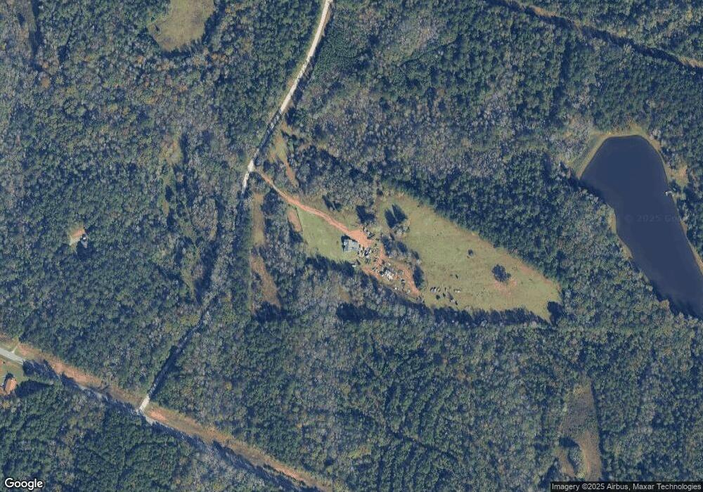
Map
Nearby Homes
- 143 W Drummond Rd
- 151 W Drummond Rd
- 157 W Drummond Rd
- 137 W Drummond Rd
- 131 W Drummond Rd
- 1015 Adams Rd
- 209 Harris Walk
- 211 Harris Walk
- 215 Harris Walk
- 223 Harris Walk
- 225 Harris Walk
- 221 Harris Walk
- 107 Amhurst Dr
- 4172 Bartley Rd
- 0 Johns Rd Unit 10615130
- 101 Garden Walk
- 648 Warner Rd
- 0 Warner Rd Unit 10686116
- 0 Monument Rd Unit 226734
- 209 Marsh Rd
- 100 Drummond Rd
- 4451 Ga Highway 18
- 227 W Drummond Rd
- 201 W Drummond Rd
- 287 W Drummond Rd
- 287 W Drummond Rd
- 317 W Drummond Rd
- W W Drummond Rd Unit 9
- W W Drummond Rd Unit LOT 4
- W W Drummond Rd
- 212 W Drummond Rd Unit 8
- 212 W Drummond Rd
- 182 W Drummond Rd
- 226 W Drummond Rd
- 230 W Drummond Rd
- 242 W Drummond Rd Unit LOT 4
- 242 W Drummond Rd
- 200 W Drummond Rd
- 200 W Drummond Rd Unit 9
- 224 W Drummond Rd
Your Personal Tour Guide
Ask me questions while you tour the home.