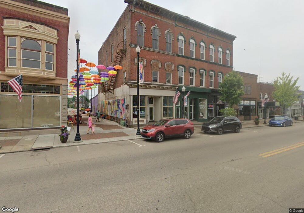
128 E Main St Louisville, OH 44641
Estimated Value: $35,463
--
Bed
2
Baths
1,200
Sq Ft
$30/Sq Ft
Est. Value
About This Home
This home is located at 128 E Main St, Louisville, OH 44641 and is currently estimated at $35,463, approximately $29 per square foot. 128 E Main St is a home located in Stark County with nearby schools including Louisville High School, Canton Harbor High School, and St. Thomas Aquinas High School & Middle School.
Ownership History
Date
Name
Owned For
Owner Type
Purchase Details
Closed on
Dec 27, 2016
Sold by
Petrack Dennis D and Petrack Kathy A
Bought by
Societ Louisville Nimishillen Historical
Current Estimated Value
Purchase Details
Closed on
May 13, 2009
Sold by
Nees John A and Nees Phyllis J
Bought by
Petrack Dennis D and Petrack Kathy A
Create a Home Valuation Report for This Property
The Home Valuation Report is an in-depth analysis detailing your home's value as well as a comparison with similar homes in the area
Home Values in the Area
Average Home Value in this Area
Purchase History
| Date | Buyer | Sale Price | Title Company |
|---|---|---|---|
| Societ Louisville Nimishillen Historical | $20,000 | None Available | |
| Petrack Dennis D | $6,500 | Attorney |
Source: Public Records
Tax History Compared to Growth
Tax History
| Year | Tax Paid | Tax Assessment Tax Assessment Total Assessment is a certain percentage of the fair market value that is determined by local assessors to be the total taxable value of land and additions on the property. | Land | Improvement |
|---|---|---|---|---|
| 2025 | -- | $32,240 | $3,150 | $29,090 |
| 2024 | -- | $7,490 | $5,460 | $2,030 |
| 2023 | $324 | $6,230 | $4,550 | $1,680 |
| 2022 | $164 | $6,230 | $4,550 | $1,680 |
| 2021 | $324 | $6,230 | $4,550 | $1,680 |
| 2020 | $295 | $5,950 | $4,340 | $1,610 |
| 2019 | $297 | $5,960 | $4,340 | $1,620 |
| 2018 | $296 | $5,960 | $4,340 | $1,620 |
| 2017 | $278 | $5,530 | $3,920 | $1,610 |
| 2016 | $281 | $5,530 | $3,920 | $1,610 |
| 2015 | $493 | $9,780 | $3,920 | $5,860 |
| 2014 | $745 | $14,120 | $3,750 | $10,370 |
| 2013 | $375 | $14,120 | $3,750 | $10,370 |
Source: Public Records
Map
Nearby Homes
- 107 E Broad St
- 204 E Broad St
- 325 Lincoln Ave
- 728 E Broad St
- 520 S Silver St
- 308 Superior St
- 641 S Nickelplate St
- 300 Kennedy St
- 0 Michigan Blvd
- 428 Honeycrisp Dr NE
- 3047 Mcintosh Dr NE
- 432 Honeycrisp Dr NE
- 2962 Mcintosh Dr NE
- 2963 Mcintosh Dr NE
- 430 Honeycrisp Dr NE
- 2957 Mcintosh Dr NE
- 1170 Winding Ridge Ave
- 201 Indiana Ave
- 910 Crosswyck Cir
- 248 Menegay Rd