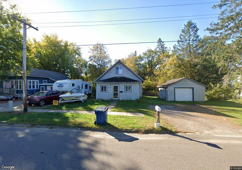
128 E Monroe Ave Barron, WI 54812
Estimated Value: $130,000 - $153,000
3
Beds
1
Bath
1,170
Sq Ft
$118/Sq Ft
Est. Value
About This Home
This home is located at 128 E Monroe Ave, Barron, WI 54812 and is currently estimated at $137,808, approximately $117 per square foot. 128 E Monroe Ave is a home located in Barron County with nearby schools including Barron High School, Advanced Learning Academy of Wisconsin, and Barron Christian School.
Ownership History
Date
Name
Owned For
Owner Type
Purchase Details
Closed on
Nov 8, 2021
Sold by
M. Johnston Joseph and M. R. Debbie
Bought by
M. Sprague Nicholas
Current Estimated Value
Purchase Details
Closed on
Dec 11, 2020
Sold by
Johnston Joseph M
Bought by
Sprague Nicholas M
Home Financials for this Owner
Home Financials are based on the most recent Mortgage that was taken out on this home.
Interest Rate
2.71%
Create a Home Valuation Report for This Property
The Home Valuation Report is an in-depth analysis detailing your home's value as well as a comparison with similar homes in the area
Home Values in the Area
Average Home Value in this Area
Purchase History
| Date | Buyer | Sale Price | Title Company |
|---|---|---|---|
| M. Sprague Nicholas | $73,800 | Tm Title Services, Inc. | |
| Sprague Nicholas M | $52,500 | -- | |
| Sprague Nicholas M | $52,500 | -- |
Source: Public Records
Mortgage History
| Date | Status | Borrower | Loan Amount |
|---|---|---|---|
| Previous Owner | Sprague Nicholas M | -- |
Source: Public Records
Tax History
| Year | Tax Paid | Tax Assessment Tax Assessment Total Assessment is a certain percentage of the fair market value that is determined by local assessors to be the total taxable value of land and additions on the property. | Land | Improvement |
|---|---|---|---|---|
| 2025 | $1,269 | $90,100 | $14,200 | $75,900 |
| 2024 | $1,219 | $90,100 | $14,200 | $75,900 |
| 2023 | $1,517 | $68,600 | $9,200 | $59,400 |
| 2022 | $1,501 | $68,600 | $9,200 | $59,400 |
| 2021 | $1,540 | $68,600 | $9,200 | $59,400 |
| 2020 | $1,706 | $68,600 | $9,200 | $59,400 |
| 2019 | $1,576 | $68,600 | $9,200 | $59,400 |
| 2018 | $1,594 | $68,600 | $9,200 | $59,400 |
| 2017 | $1,587 | $68,600 | $9,200 | $59,400 |
| 2016 | $1,583 | $68,600 | $9,200 | $59,400 |
| 2015 | $1,510 | $68,600 | $9,200 | $59,400 |
| 2014 | $1,546 | $68,600 | $9,200 | $59,400 |
| 2013 | $1,586 | $68,600 | $9,200 | $59,400 |
Source: Public Records
Map
Nearby Homes
- 16 W Monroe Ave
- 37 E Division Ave
- 406 S 5th St
- 0 S 6th St
- 285 Cityview Dr
- 261 Rolling Oaks Dr
- 810 E La Salle Ave
- 1242 13 1 2 Ave
- 429 W Division Ave
- 1034 E La Salle Ave
- Lot 4 E Taylor Ave
- Lots 13-15 Candy Ln
- 1388 13 1 2 Ave
- 526 Jean-Marie St Unit 1-8
- 740 E Birch Ave
- 701 N Mill St
- 1439 E Maple Ave
- Lot 5 Guy Ave
- Lot 7 Guy Ave
- Lot 4 Guy Ave
- 138 E Monroe Ave
- 204 E Monroe Ave
- 108 E Monroe Ave
- 133 E Monroe Ave
- 212 E Monroe Ave
- 123 E Monroe Ave
- 146 S 1st St
- 123 123 E Monroe
- 137 S 2nd St
- 106 E Euclid Ave
- 146 S 2nd St
- 136 S 1st St
- 50 E Monroe Ave
- 34 E Euclid Ave
- 42 E Euclid Ave
- 133 E Euclid Ave
- 234 S 1st St
- 226 S 1st St
- 51 E Euclid Ave
- 25 E Euclid Ave
Your Personal Tour Guide
Ask me questions while you tour the home.