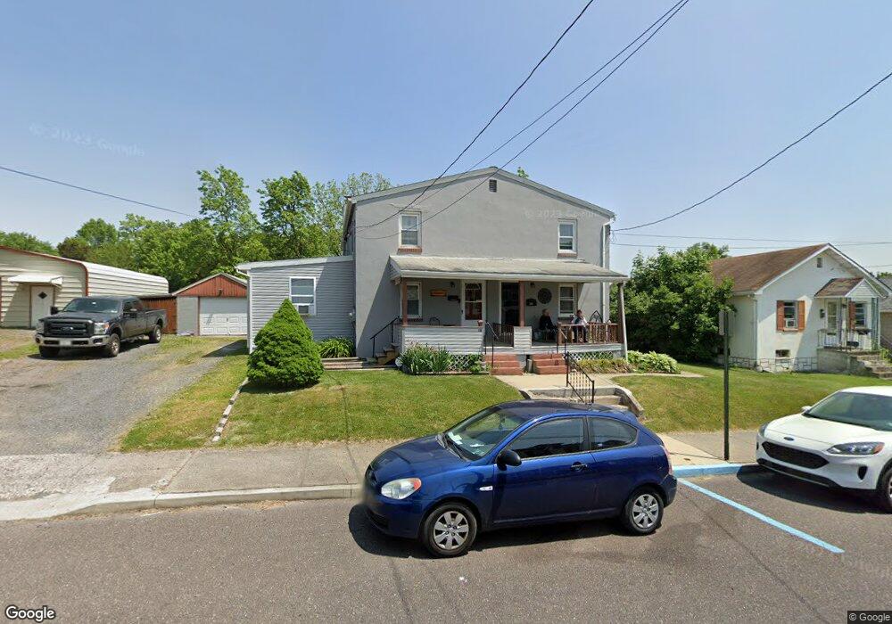
128 Elm St Pottstown, PA 19464
Estimated Value: $200,000 - $218,950
2
Beds
1
Bath
1,216
Sq Ft
$170/Sq Ft
Est. Value
About This Home
This home is located at 128 Elm St, Pottstown, PA 19464 and is currently estimated at $206,488, approximately $169 per square foot. 128 Elm St is a home located in Montgomery County with nearby schools including Lower Pottsgrove Elementary School, Pottsgrove Middle School, and Pottsgrove Senior High School.
Ownership History
Date
Name
Owned For
Owner Type
Purchase Details
Closed on
Apr 11, 2016
Sold by
Rulli Louis R and Rulli Elizabeth A
Bought by
Rulli Louis R and Rulli Elizabeth A
Current Estimated Value
Home Financials for this Owner
Home Financials are based on the most recent Mortgage that was taken out on this home.
Original Mortgage
$113,386
Outstanding Balance
$90,078
Interest Rate
3.68%
Mortgage Type
VA
Estimated Equity
$116,410
Purchase Details
Closed on
Feb 19, 2013
Sold by
Rulli Frances B
Bought by
Rulli Louis R and Rulli Elizabeth A
Create a Home Valuation Report for This Property
The Home Valuation Report is an in-depth analysis detailing your home's value as well as a comparison with similar homes in the area
Home Values in the Area
Average Home Value in this Area
Purchase History
| Date | Buyer | Sale Price | Title Company |
|---|---|---|---|
| Rulli Louis R | -- | Attorney | |
| Rulli Louis R | -- | None Available |
Source: Public Records
Mortgage History
| Date | Status | Borrower | Loan Amount |
|---|---|---|---|
| Open | Rulli Louis R | $113,386 |
Source: Public Records
Tax History Compared to Growth
Tax History
| Year | Tax Paid | Tax Assessment Tax Assessment Total Assessment is a certain percentage of the fair market value that is determined by local assessors to be the total taxable value of land and additions on the property. | Land | Improvement |
|---|---|---|---|---|
| 2025 | $3,377 | $70,300 | $33,580 | $36,720 |
| 2024 | $3,377 | $70,300 | $33,580 | $36,720 |
| 2023 | $3,270 | $70,300 | $33,580 | $36,720 |
| 2022 | $3,219 | $70,300 | $33,580 | $36,720 |
| 2021 | $3,172 | $70,300 | $33,580 | $36,720 |
| 2020 | $3,125 | $70,300 | $33,580 | $36,720 |
| 2019 | $3,108 | $70,300 | $33,580 | $36,720 |
| 2018 | $3,108 | $70,300 | $33,580 | $36,720 |
| 2017 | $3,098 | $70,300 | $33,580 | $36,720 |
| 2016 | $3,070 | $70,300 | $33,580 | $36,720 |
| 2015 | $3,070 | $70,300 | $33,580 | $36,720 |
| 2014 | $2,964 | $70,300 | $33,580 | $36,720 |
Source: Public Records
Map
Nearby Homes
- 160 Linden St Unit 69
- 530 E Howard St
- 104 Pulaski St
- 501 and 507 E Race St
- 8 Ryan St
- 703 Holly Dr
- 356 W Beech St Unit 160
- 601 W High St
- 1209 Grosstown Rd
- 377 Circle of Progress Dr
- 0 Ash St Unit PAMC2144590
- 536 & 538 W Vine St
- 1405 Old Glasgow St
- 666 Manatawny St
- 443 Manatawny St
- 60 W 3rd St
- 94 Random Rd
- 25 Random Rd
- 551 Upland St
- 176 Manatawny St