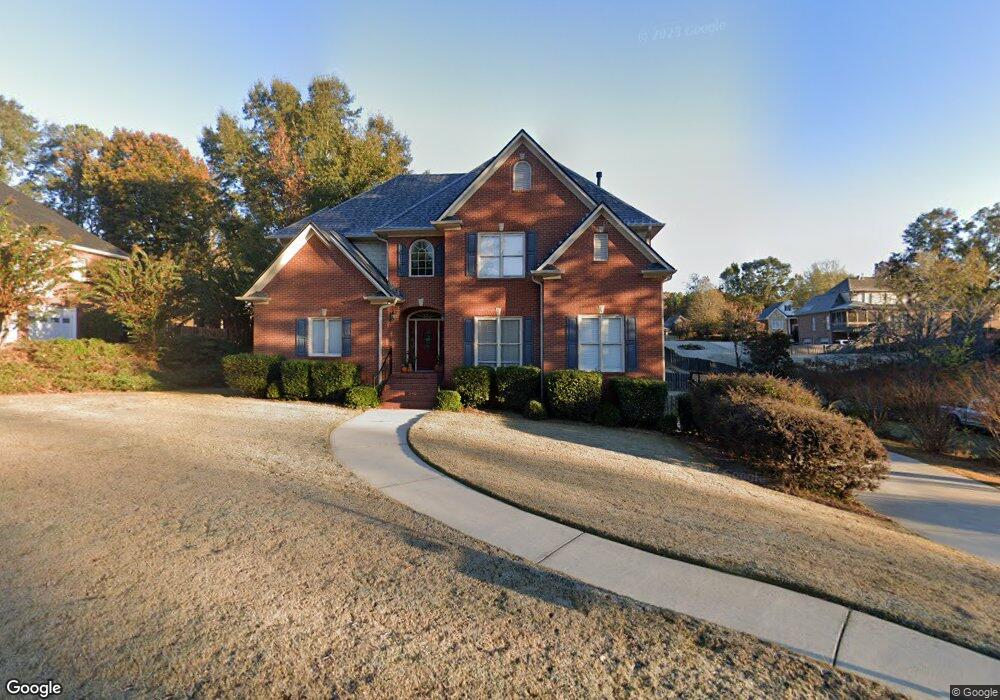
128 Emily Cir Birmingham, AL 35242
Estimated Value: $520,000 - $603,000
4
Beds
5
Baths
3,310
Sq Ft
$174/Sq Ft
Est. Value
About This Home
This home is located at 128 Emily Cir, Birmingham, AL 35242 and is currently estimated at $577,015, approximately $174 per square foot. 128 Emily Cir is a home located in Shelby County with nearby schools including Oak Mountain Elementary School, Oak Mountain Intermediate School, and Oak Mt. Middle School.
Ownership History
Date
Name
Owned For
Owner Type
Purchase Details
Closed on
Apr 16, 2010
Sold by
Mallampalli Srinivas and Mallampalli Sai J
Bought by
Lester Christopher T and Lester Paige
Current Estimated Value
Home Financials for this Owner
Home Financials are based on the most recent Mortgage that was taken out on this home.
Original Mortgage
$344,850
Outstanding Balance
$229,568
Interest Rate
4.99%
Mortgage Type
New Conventional
Estimated Equity
$347,447
Purchase Details
Closed on
Dec 18, 2003
Sold by
Hickory Construction Co Inc
Bought by
Mallampalli Srinivas and Varigonda Sai J
Home Financials for this Owner
Home Financials are based on the most recent Mortgage that was taken out on this home.
Original Mortgage
$238,050
Interest Rate
5.62%
Mortgage Type
Unknown
Create a Home Valuation Report for This Property
The Home Valuation Report is an in-depth analysis detailing your home's value as well as a comparison with similar homes in the area
Home Values in the Area
Average Home Value in this Area
Purchase History
| Date | Buyer | Sale Price | Title Company |
|---|---|---|---|
| Lester Christopher T | $363,000 | None Available | |
| Mallampalli Srinivas | $297,614 | -- |
Source: Public Records
Mortgage History
| Date | Status | Borrower | Loan Amount |
|---|---|---|---|
| Open | Lester Christopher T | $344,850 | |
| Previous Owner | Mallampalli Srinivas | $238,050 | |
| Closed | Mallampalli Srinivas | $29,800 |
Source: Public Records
Tax History Compared to Growth
Tax History
| Year | Tax Paid | Tax Assessment Tax Assessment Total Assessment is a certain percentage of the fair market value that is determined by local assessors to be the total taxable value of land and additions on the property. | Land | Improvement |
|---|---|---|---|---|
| 2024 | $2,315 | $52,620 | $0 | $0 |
| 2023 | $2,190 | $50,700 | $0 | $0 |
| 2022 | $1,987 | $46,080 | $0 | $0 |
| 2021 | $1,939 | $45,000 | $0 | $0 |
| 2020 | $1,723 | $40,080 | $0 | $0 |
| 2019 | $1,739 | $40,460 | $0 | $0 |
| 2017 | $1,609 | $37,500 | $0 | $0 |
| 2015 | $1,533 | $35,780 | $0 | $0 |
| 2014 | $1,495 | $34,920 | $0 | $0 |
Source: Public Records
Map
Nearby Homes
- 2309 Woodland Cir
- 100 Emily Cir
- 2336 Woodland Cir
- 5081 Pinehurst Terrace
- 5082 Shelby Dr
- 8032 Eagle Crest Ln
- 5032 Stone Bridge Ln
- 8028 Eagle Crest Ln Unit 7
- 8000 Eagle Crest Ln
- 5349 Harvest Ridge Ln
- 5035 Stratford Rd
- 1 Buckhorn Valley Dr
- 5010 Mark Trail
- 2000 Eagle Crest Ct
- 826 Griffin Park Cir
- 3371 N Broken Bow Dr
- 164 Bridge Dr
- 5195 Redfern Way
- 4908 Sussex Rd
- 708 Meadow Ridge Ct