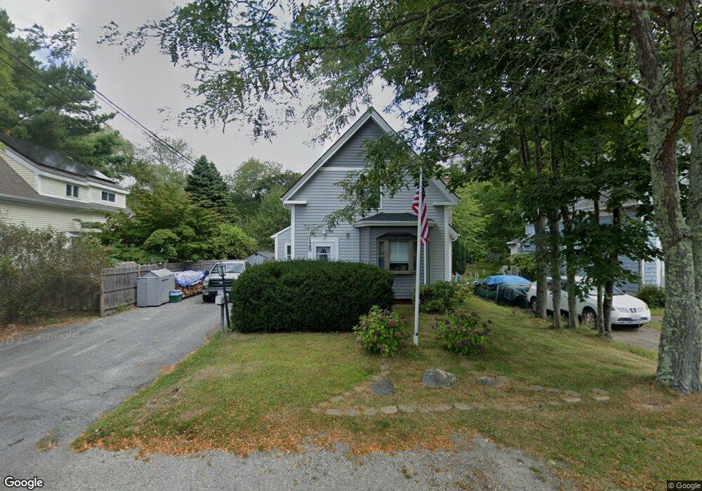
128 Franklin St Whitman, MA 02382
Estimated Value: $510,267 - $571,000
3
Beds
1
Bath
1,558
Sq Ft
$346/Sq Ft
Est. Value
About This Home
This home is located at 128 Franklin St, Whitman, MA 02382 and is currently estimated at $538,317, approximately $345 per square foot. 128 Franklin St is a home located in Plymouth County with nearby schools including St Bridget School.
Ownership History
Date
Name
Owned For
Owner Type
Purchase Details
Closed on
Jul 25, 2024
Sold by
Taylor James K and Taylor Cythia
Bought by
Taylor Ret and Taylor
Current Estimated Value
Purchase Details
Closed on
Jun 6, 1977
Bought by
Taylor James K and Taylor Cynthia
Create a Home Valuation Report for This Property
The Home Valuation Report is an in-depth analysis detailing your home's value as well as a comparison with similar homes in the area
Home Values in the Area
Average Home Value in this Area
Purchase History
| Date | Buyer | Sale Price | Title Company |
|---|---|---|---|
| Taylor Ret | -- | None Available | |
| Taylor Ret | -- | None Available | |
| Taylor James K | $27,900 | -- |
Source: Public Records
Mortgage History
| Date | Status | Borrower | Loan Amount |
|---|---|---|---|
| Previous Owner | Taylor James K | $100,000 | |
| Previous Owner | Taylor James K | $50,000 | |
| Previous Owner | Taylor James K | $150,000 |
Source: Public Records
Tax History
| Year | Tax Paid | Tax Assessment Tax Assessment Total Assessment is a certain percentage of the fair market value that is determined by local assessors to be the total taxable value of land and additions on the property. | Land | Improvement |
|---|---|---|---|---|
| 2025 | $5,829 | $444,300 | $194,900 | $249,400 |
| 2024 | $5,451 | $427,900 | $190,900 | $237,000 |
| 2023 | $5,363 | $395,200 | $174,800 | $220,400 |
| 2022 | $5,290 | $363,300 | $158,800 | $204,500 |
| 2021 | $4,901 | $316,200 | $133,600 | $182,600 |
| 2020 | $4,722 | $297,900 | $121,600 | $176,300 |
| 2019 | $4,436 | $288,400 | $121,600 | $166,800 |
| 2018 | $4,119 | $257,300 | $115,600 | $141,700 |
| 2017 | $3,880 | $257,300 | $115,600 | $141,700 |
| 2016 | $3,681 | $236,100 | $105,500 | $130,600 |
| 2015 | $3,686 | $236,100 | $105,500 | $130,600 |
Source: Public Records
Map
Nearby Homes
- 214 Winter St
- 289 Commercial St
- 21 Crescent St
- 170 Pleasant St
- 74 Benson St
- 10 Proud Foot Way
- 147 South Ave
- 61 Suffolk St
- 291 Raynor Ave
- 48 Day St
- 110 South Ave
- 8 Laurel St
- 608 Plymouth St
- 22 Old Coach Rd
- 10 Birch Bottom Cir
- 95 Temple St
- 150 Harvard St
- 159 Auburn St
- 157 Auburn St Unit 157
- 118 Temple St
- 132 Franklin St
- 122 Franklin St
- 116 Franklin St
- 110 Franklin St
- 146 Franklin St
- 100 Franklin St Unit D6
- 100 Franklin St Unit D5
- 100 Franklin St Unit D4
- 100 Franklin St Unit D3
- 100 Franklin St Unit D2
- 100 Franklin St Unit D1
- 100 Franklin St Unit C6
- 100 Franklin St Unit C4
- 100 Franklin St Unit C3
- 100 Franklin St Unit C2
- 100 Franklin St Unit C1
- 100 Franklin St Unit B2
- 100 Franklin St Unit B1
- 100 Franklin St Unit A2
- 100 Franklin St Unit A1
Your Personal Tour Guide
Ask me questions while you tour the home.