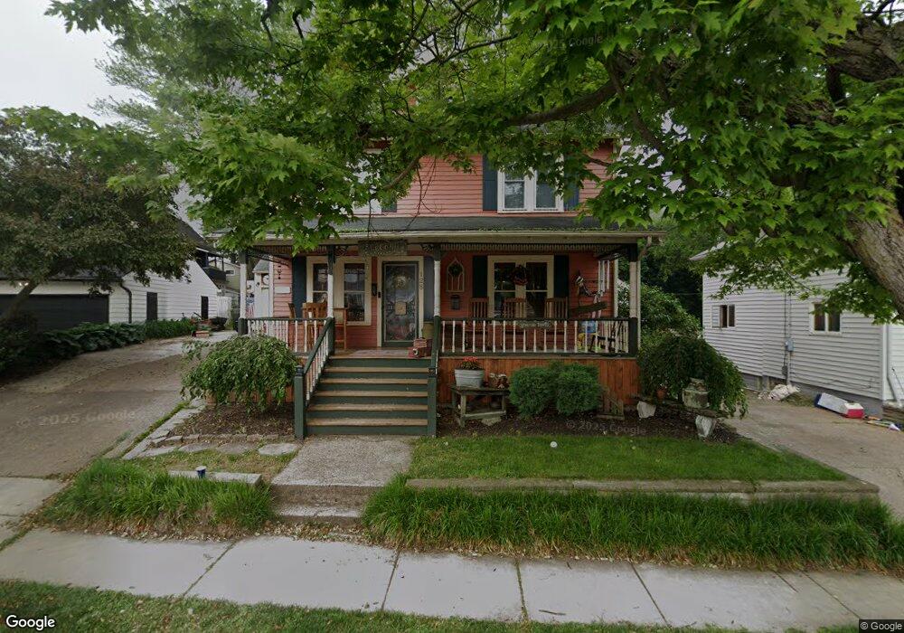
128 Harris St Amherst, OH 44001
Estimated Value: $197,205 - $250,000
3
Beds
3
Baths
1,562
Sq Ft
$140/Sq Ft
Est. Value
About This Home
This home is located at 128 Harris St, Amherst, OH 44001 and is currently estimated at $219,051, approximately $140 per square foot. 128 Harris St is a home located in Lorain County with nearby schools including Powers Elementary School, Walter G. Nord Middle School, and Amherst Junior High School.
Ownership History
Date
Name
Owned For
Owner Type
Purchase Details
Closed on
Oct 24, 1997
Sold by
Maradits John V
Bought by
Stempowski Mark and Stempowski Cherie
Current Estimated Value
Home Financials for this Owner
Home Financials are based on the most recent Mortgage that was taken out on this home.
Original Mortgage
$114,366
Outstanding Balance
$18,697
Interest Rate
7.65%
Mortgage Type
FHA
Estimated Equity
$200,354
Purchase Details
Closed on
Sep 30, 1994
Sold by
Pittman Robert S
Bought by
Maradits John V and Maradits Lisa A
Home Financials for this Owner
Home Financials are based on the most recent Mortgage that was taken out on this home.
Original Mortgage
$90,000
Interest Rate
8.62%
Mortgage Type
New Conventional
Create a Home Valuation Report for This Property
The Home Valuation Report is an in-depth analysis detailing your home's value as well as a comparison with similar homes in the area
Home Values in the Area
Average Home Value in this Area
Purchase History
| Date | Buyer | Sale Price | Title Company |
|---|---|---|---|
| Stempowski Mark | $115,000 | -- | |
| Maradits John V | $95,000 | -- |
Source: Public Records
Mortgage History
| Date | Status | Borrower | Loan Amount |
|---|---|---|---|
| Open | Stempowski Mark | $114,366 | |
| Previous Owner | Maradits John V | $90,000 |
Source: Public Records
Tax History Compared to Growth
Tax History
| Year | Tax Paid | Tax Assessment Tax Assessment Total Assessment is a certain percentage of the fair market value that is determined by local assessors to be the total taxable value of land and additions on the property. | Land | Improvement |
|---|---|---|---|---|
| 2024 | $2,479 | $59,941 | $7,441 | $52,500 |
| 2023 | $2,165 | $44,097 | $6,965 | $37,132 |
| 2022 | $2,026 | $44,097 | $6,965 | $37,132 |
| 2021 | $2,031 | $44,097 | $6,965 | $37,132 |
| 2020 | $1,940 | $37,400 | $5,910 | $31,490 |
| 2019 | $1,901 | $37,400 | $5,910 | $31,490 |
| 2018 | $1,926 | $37,400 | $5,910 | $31,490 |
| 2017 | $1,941 | $35,660 | $5,010 | $30,650 |
| 2016 | $1,957 | $35,660 | $5,010 | $30,650 |
| 2015 | $1,946 | $35,660 | $5,010 | $30,650 |
| 2014 | $1,794 | $32,720 | $4,600 | $28,120 |
| 2013 | $1,800 | $32,720 | $4,600 | $28,120 |
Source: Public Records
Map
Nearby Homes
- 2176 Myla Way
- 2180 Myla Way
- 483 N Main St
- 825 Cleveland Ave
- 394 Long St
- 891 Park Ave
- 105 N Woodhill Dr
- 168 Orchard Hill Dr
- 726 Sunrise Dr
- 0 Stonebridge Dr
- 1140 Woodside Dr
- 707 Greenlawn Dr
- 653 Brennan Dr
- 621 Van Oaks Dr
- 117 Fall Lake Ln
- 135 Ridgeland Dr
- 748 Tarry Ln
- V/L Middle Ridge Rd
- 0 Middle Ridge Rd Unit 5160578
- 0 Middle Ridge Rd Unit 5102632
- 140 Harris St
- 285 Cleveland Ave
- 293 Cleveland Ave
- 273 Cleveland Ave
- 152 Harris St
- 160 Harris St
- 139 Harris St
- 259 Cleveland Ave
- 153 Harris St
- 168 Harris St
- 167 Harris St
- 178 Harris St
- 243 Cleveland Ave
- 171 Harris St
- 276 Cornell Ave
- 190 Harris St
- 262 Cornell Ave
- 158 Axtel St
- 131 Lincoln St
- 149 Lincoln St