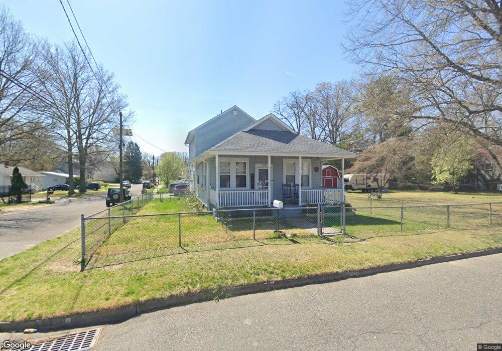
128 High St Maple Shade, NJ 08052
Estimated Value: $322,000 - $410,000
Studio
--
Bath
1,944
Sq Ft
$194/Sq Ft
Est. Value
About This Home
This home is located at 128 High St, Maple Shade, NJ 08052 and is currently estimated at $376,903, approximately $193 per square foot. 128 High St is a home located in Burlington County with nearby schools including Ralph J Steinhauer Elementary School, Maude M. Wilkins Elementary School, and Howard R Yocum School.
Ownership History
Date
Name
Owned For
Owner Type
Purchase Details
Closed on
Dec 17, 2007
Current Estimated Value
Create a Home Valuation Report for This Property
The Home Valuation Report is an in-depth analysis detailing your home's value as well as a comparison with similar homes in the area
Home Values in the Area
Average Home Value in this Area
Purchase History
| Date | Buyer | Sale Price | Title Company |
|---|---|---|---|
| -- | -- | -- |
Source: Public Records
Tax History
| Year | Tax Paid | Tax Assessment Tax Assessment Total Assessment is a certain percentage of the fair market value that is determined by local assessors to be the total taxable value of land and additions on the property. | Land | Improvement |
|---|---|---|---|---|
| 2025 | $8,742 | $230,300 | $60,700 | $169,600 |
| 2024 | $8,489 | $230,300 | $60,700 | $169,600 |
| 2023 | $8,489 | $230,300 | $60,700 | $169,600 |
| 2022 | $8,358 | $230,300 | $60,700 | $169,600 |
| 2021 | $8,277 | $230,300 | $60,700 | $169,600 |
| 2020 | $8,062 | $223,700 | $60,700 | $163,000 |
| 2019 | $7,767 | $223,700 | $60,700 | $163,000 |
| 2018 | $7,633 | $223,700 | $60,700 | $163,000 |
| 2017 | $7,543 | $223,700 | $60,700 | $163,000 |
| 2016 | $7,431 | $223,700 | $60,700 | $163,000 |
| 2015 | $7,270 | $223,700 | $60,700 | $163,000 |
| 2014 | $7,049 | $223,700 | $60,700 | $163,000 |
Source: Public Records
Map
Nearby Homes
- 27 Indian Queen Ln
- 400 N Forklanding Rd
- 331 Collins Ln
- 728 Haverford Ave
- 712 E Woodlawn Ave
- 5 Exeter Place
- 207 E Park Ave
- 2819 Haddonfield Rd
- 411 A3 Stiles Ave Unit A-3
- 411 C12 Stiles Ave Unit C-12
- 411 A2 Stiles Ave Unit A-2
- 3444 New Jersey Ave
- 22 Theodore Ave
- 20 Kohlmyer Dr
- 21 Kohlmyer Dr
- 18 Hamilton Ct
- 2414 Church Rd
- 8661 Wyndam Rd
- 8315 Stockton Ave
- 8539 Bryn Mawr Ave
Your Personal Tour Guide
Ask me questions while you tour the home.