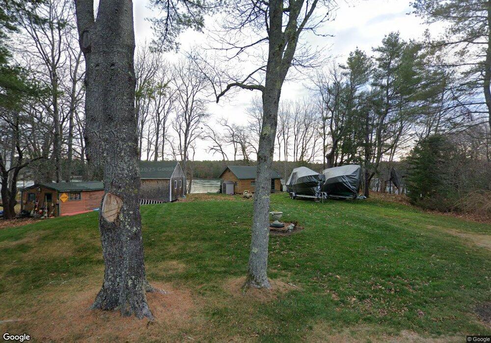
128 Hildreth Rd Harpswell, ME 04079
Harpswell Neck NeighborhoodEstimated Value: $550,928 - $778,000
2
Beds
2
Baths
520
Sq Ft
$1,218/Sq Ft
Est. Value
About This Home
This home is located at 128 Hildreth Rd, Harpswell, ME 04079 and is currently estimated at $633,482, approximately $1,218 per square foot. 128 Hildreth Rd is a home located in Cumberland County with nearby schools including Mt Ararat High School.
Ownership History
Date
Name
Owned For
Owner Type
Purchase Details
Closed on
Oct 6, 2025
Sold by
Phelan Amy K and Phelan William
Bought by
William D Phelam Iii Ret and Phelan
Current Estimated Value
Purchase Details
Closed on
Nov 5, 2022
Sold by
Phelan Amy K and Phelan William
Bought by
William D Phelan 3Rd Ret and Phelan
Purchase Details
Closed on
Sep 2, 2008
Sold by
Parker Doris A
Bought by
Phelan William and Phelan Amy K
Home Financials for this Owner
Home Financials are based on the most recent Mortgage that was taken out on this home.
Original Mortgage
$241,875
Interest Rate
4%
Mortgage Type
FHA
Create a Home Valuation Report for This Property
The Home Valuation Report is an in-depth analysis detailing your home's value as well as a comparison with similar homes in the area
Home Values in the Area
Average Home Value in this Area
Purchase History
| Date | Buyer | Sale Price | Title Company |
|---|---|---|---|
| William D Phelam Iii Ret | -- | -- | |
| William D Phelan 3Rd Ret | -- | None Available | |
| Phelan William | -- | -- |
Source: Public Records
Mortgage History
| Date | Status | Borrower | Loan Amount |
|---|---|---|---|
| Previous Owner | Phelan William | $241,875 |
Source: Public Records
Tax History
| Year | Tax Paid | Tax Assessment Tax Assessment Total Assessment is a certain percentage of the fair market value that is determined by local assessors to be the total taxable value of land and additions on the property. | Land | Improvement |
|---|---|---|---|---|
| 2024 | $2,512 | $394,900 | $274,400 | $120,500 |
| 2023 | $2,409 | $394,900 | $274,400 | $120,500 |
| 2022 | $2,330 | $394,900 | $274,400 | $120,500 |
| 2021 | $2,035 | $301,000 | $222,800 | $78,200 |
| 2020 | $4,205 | $301,000 | $222,800 | $78,200 |
| 2019 | $0 | $301,000 | $222,800 | $78,200 |
| 2018 | $4,236 | $301,000 | $222,800 | $78,200 |
| 2017 | $3,900 | $301,000 | $222,800 | $78,200 |
| 2016 | $0 | $301,000 | $222,800 | $78,200 |
| 2015 | $1,878 | $301,000 | $222,800 | $78,200 |
| 2013 | $1,690 | $292,400 | $222,800 | $69,600 |
Source: Public Records
Map
Nearby Homes
- 30 Driftwood Tide Ln
- Map 80 Lot 18-0 White Island
- 7 Shearwater Way
- 0 Gundalo Gap Rd Unit 1638108
- lot C Long Point Rd
- 46 Blackstone Club Rd
- 646 Gurnet Rd
- 29 & 30 Nob Hill Ave
- Lot 2B Allen Point Rd
- 0 Bayview Rd Unit 2 1632776
- 250 Mere Point Rd
- 83 Central Ave
- 36 Jewell St
- 6 Chebeague Ln
- 1 Mallard Pond Rd
- 260 Coombs Rd
- 291 Maquoit Rd
- 20 Cushnoc Ln
- 2 Remington Way
- 138 Coombs Rd
- 134 Hildreth Rd
- 138 Hildreth Rd
- 126 Hildreth Rd
- 125 Hildreth Rd
- 142 Hildreth Rd
- 133 Hildreth Rd
- 144 Hildreth Rd
- 121 Hildreth Rd
- 112 Hildreth Rd
- 73-2 Hildreth Rd
- 146 Hildreth Rd
- 131 Hildreth Rd
- 111 Hildreth Rd
- 110 Hildreth Rd
- 13 Willows Way
- 108 Hildreth Rd
- 156 Hildreth Rd
- 160 Hildreth Rd
- 94 Hildreth Rd
- 101 Hildreth Rd
Your Personal Tour Guide
Ask me questions while you tour the home.