128 Howland Cir Brewster, MA 02631
Estimated Value: $517,000 - $563,019
2
Beds
2
Baths
1,157
Sq Ft
$470/Sq Ft
Est. Value
About This Home
This home is located at 128 Howland Cir, Brewster, MA 02631 and is currently estimated at $543,505, approximately $469 per square foot. 128 Howland Cir is a home located in Barnstable County with nearby schools including Stony Brook Elementary School, Eddy Elementary School, and Nauset Regional Middle School.
Ownership History
Date
Name
Owned For
Owner Type
Purchase Details
Closed on
Jul 7, 2025
Sold by
Stettner Scott C and Stettner Kathleen
Bought by
Scott & K C Stettiner Ret and Stettner
Current Estimated Value
Purchase Details
Closed on
Sep 14, 2010
Sold by
Stettner Scott C
Bought by
Stettner Scott C and Stettner Kathleen
Create a Home Valuation Report for This Property
The Home Valuation Report is an in-depth analysis detailing your home's value as well as a comparison with similar homes in the area
Home Values in the Area
Average Home Value in this Area
Purchase History
We collect this data history from publicly available records. To have your information removed, we recommend requesting removal directly through your county’s website.
| Date | Buyer | Sale Price | Title Company |
|---|---|---|---|
| Scott & K C Stettiner Ret | -- | -- | |
| Scott & K C Stettiner Ret | -- | -- | |
| Stettner Scott C | -- | -- | |
| Stettner Scott C | -- | -- |
Source: Public Records
Mortgage History
We collect this data history from publicly available records. To have your information removed, we recommend requesting removal directly through your county’s website.
| Date | Status | Borrower | Loan Amount |
|---|---|---|---|
| Previous Owner | Stettner Scott C | $103,000 |
Source: Public Records
Tax History
| Year | Tax Paid | Tax Assessment Tax Assessment Total Assessment is a certain percentage of the fair market value that is determined by local assessors to be the total taxable value of land and additions on the property. | Land | Improvement |
|---|---|---|---|---|
| 2025 | $3,389 | $492,600 | $0 | $492,600 |
| 2024 | $3,128 | $459,300 | $0 | $459,300 |
| 2023 | $2,841 | $406,500 | $0 | $406,500 |
| 2022 | $2,417 | $307,900 | $0 | $307,900 |
| 2021 | $2,407 | $280,500 | $0 | $280,500 |
| 2020 | $2,348 | $272,400 | $0 | $272,400 |
| 2019 | $2,156 | $251,300 | $0 | $251,300 |
| 2018 | $2,001 | $242,200 | $0 | $242,200 |
| 2017 | $1,901 | $226,600 | $0 | $226,600 |
| 2016 | $1,874 | $222,300 | $0 | $222,300 |
| 2015 | $1,811 | $219,300 | $0 | $219,300 |
Source: Public Records
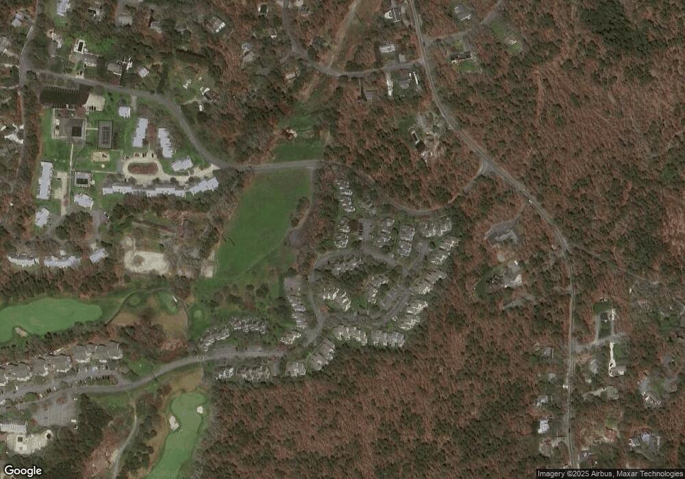
Map
Nearby Homes
- 287 Fletcher Ln Unit 287
- 100 Fletcher Ln Unit G
- 101 Fletcher Ln Unit L
- 100 Fletcher Ln Unit C
- 101 Fletcher Ln Unit L
- 100 Fletcher Ln Unit G
- 81 Fletcher Ln Unit I
- 81 Fletcher Ln Unit I
- 102 Fletcher Ln Unit H
- 102 Fletcher Ln Unit H
- 82 Fletcher Ln Unit H
- 82 Fletcher Ln Unit H
- 0 Old Chatham Rd
- 61 Trevor Ln Unit 61
- 109 Eaton Ln Unit 109
- 0 Commons Way Unit 22504099
- 77 Chilton Ln Unit 77
- 104 Chilton Ln Unit 104
- 120 Chilton Ln Unit 120
- 11 Chilton Ln
- 120 Howland Cir
- 118 Howland Cir
- 116 Howland Cir
- 114 Howland Cir
- 112 Howland Cir
- 110 Howland Cir
- 118 Howland Cir Unit 118
- 116 Howland Cir Unit 116
- 120 Howland Cir Unit 120
- 112 Howland Cir Unit 104
- 118 Howland Cir Unit U107
- 120 Howland Cir Unit 108
- 116 Howland Cir Unit 106
- 110 Howland Cir Unit 110
- 110 Howland Cir Unit 103
- 108 Howland Cir
- 106 Howland Cir
- 104 Howland Cir
- 104 Howland Cir Unit 100
- 132 Howland Cir
Your Personal Tour Guide
Ask me questions while you tour the home.