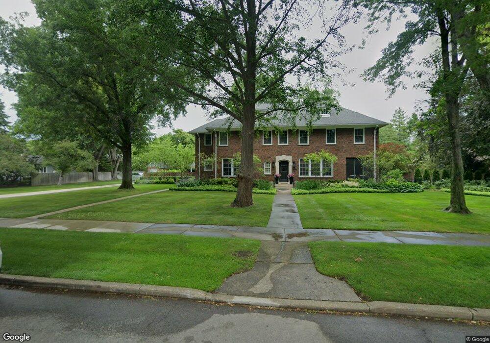
128 Lewiston Rd Grosse Pointe Farms, MI 48236
Estimated Value: $1,033,000 - $1,566,000
--
Bed
5
Baths
5,626
Sq Ft
$247/Sq Ft
Est. Value
About This Home
This home is located at 128 Lewiston Rd, Grosse Pointe Farms, MI 48236 and is currently estimated at $1,389,971, approximately $247 per square foot. 128 Lewiston Rd is a home located in Wayne County with nearby schools including Richard Elementary School, Brownell Middle School, and Grosse Pointe South High School.
Ownership History
Date
Name
Owned For
Owner Type
Purchase Details
Closed on
Feb 9, 2008
Sold by
Baysore John K and Baysore Virginia M
Bought by
Caputo John C
Current Estimated Value
Purchase Details
Closed on
Nov 3, 1997
Sold by
Raynal Catherine M
Bought by
Baysore John K
Create a Home Valuation Report for This Property
The Home Valuation Report is an in-depth analysis detailing your home's value as well as a comparison with similar homes in the area
Home Values in the Area
Average Home Value in this Area
Purchase History
| Date | Buyer | Sale Price | Title Company |
|---|---|---|---|
| Caputo John C | $725,000 | Fidelity National Title | |
| Baysore John K | -- | -- |
Source: Public Records
Tax History Compared to Growth
Tax History
| Year | Tax Paid | Tax Assessment Tax Assessment Total Assessment is a certain percentage of the fair market value that is determined by local assessors to be the total taxable value of land and additions on the property. | Land | Improvement |
|---|---|---|---|---|
| 2025 | $9,929 | $627,000 | $0 | $0 |
| 2024 | $9,929 | $580,200 | $0 | $0 |
| 2023 | $9,096 | $560,500 | $0 | $0 |
| 2022 | $9,096 | $510,900 | $0 | $0 |
| 2021 | $16,692 | $499,800 | $0 | $0 |
| 2019 | $15,196 | $458,700 | $0 | $0 |
| 2018 | $7,776 | $451,100 | $0 | $0 |
| 2017 | $13,493 | $441,300 | $0 | $0 |
| 2016 | $14,144 | $416,600 | $0 | $0 |
| 2015 | $28,015 | $304,600 | $0 | $0 |
| 2013 | $27,140 | $271,400 | $0 | $0 |
| 2012 | $8,767 | $266,100 | $137,300 | $128,800 |
Source: Public Records
Map
Nearby Homes
- 93 Merriweather Rd
- 130 Merriweather Rd
- 65 Mapleton Rd
- 216 Ridge Rd
- 159 Grosse Pointe Blvd
- 194 Charlevoix Ave
- 201 Mcmillan Rd
- 240 Mckinley Ave
- 180 Fisher Rd
- 259 Mount Vernon Ave
- 273 Moran Rd
- 276 Lewiston Rd
- 189 Cloverly Rd
- 76 Grosse Pointe Blvd
- 204 Cloverly Rd
- 683 Lincoln Rd
- 69 Touraine Rd
- 257 Ridge Rd
- 302 Mount Vernon Ave
- 745 Lincoln Rd
- 140 Lewiston Rd
- 125 Kenwood Rd
- 121 Kenwood Rd
- 135 Kenwood Rd
- 114 Lewiston Rd
- 109 Kenwood Rd
- 129 Lewiston Rd
- 121 Lewiston Rd
- 143 Lewiston Rd
- 278 Lewiston Rd
- 135 Lewiston Rd
- 150 Lewiston Rd
- 115 Lewiston Rd
- 136 Mapleton Rd
- 132 Mapleton Rd
- 138 Mapleton Rd
- 157 Kenwood Rd
- 128 Mapleton Rd
- 140 Mapleton Rd
- 126 Mapleton Rd