128 Maple Dr Brevard, NC 28712
Estimated Value: $371,324 - $482,000
3
Beds
2
Baths
1,400
Sq Ft
$301/Sq Ft
Est. Value
About This Home
This home is located at 128 Maple Dr, Brevard, NC 28712 and is currently estimated at $420,831, approximately $300 per square foot. 128 Maple Dr is a home.
Ownership History
Date
Name
Owned For
Owner Type
Purchase Details
Closed on
Mar 13, 2023
Sold by
Rouse Karen E
Bought by
Neddo Elizabeth
Current Estimated Value
Purchase Details
Closed on
Sep 30, 2005
Sold by
Grogan Jack and Grogan Nancy
Bought by
Rouse Wilbur M and Rouse Karen E
Home Financials for this Owner
Home Financials are based on the most recent Mortgage that was taken out on this home.
Original Mortgage
$100,000
Interest Rate
5.66%
Mortgage Type
New Conventional
Purchase Details
Closed on
Dec 1, 1999
Bought by
Rouse Wilbur M and Rouse Karen E
Create a Home Valuation Report for This Property
The Home Valuation Report is an in-depth analysis detailing your home's value as well as a comparison with similar homes in the area
Home Values in the Area
Average Home Value in this Area
Purchase History
| Date | Buyer | Sale Price | Title Company |
|---|---|---|---|
| Neddo Elizabeth | -- | -- | |
| Rouse Wilbur M | $175,000 | None Available | |
| Rouse Wilbur M | $17,000 | -- |
Source: Public Records
Mortgage History
| Date | Status | Borrower | Loan Amount |
|---|---|---|---|
| Previous Owner | Rouse Wilbur M | $100,000 |
Source: Public Records
Tax History
| Year | Tax Paid | Tax Assessment Tax Assessment Total Assessment is a certain percentage of the fair market value that is determined by local assessors to be the total taxable value of land and additions on the property. | Land | Improvement |
|---|---|---|---|---|
| 2025 | $2,045 | $425,650 | $30,000 | $395,650 |
| 2024 | $1,768 | $268,500 | $45,000 | $223,500 |
| 2023 | $1,768 | $268,500 | $45,000 | $223,500 |
| 2022 | $1,768 | $353,630 | $45,000 | $308,630 |
| 2021 | $1,754 | $268,500 | $45,000 | $223,500 |
| 2020 | $1,357 | $195,000 | $0 | $0 |
| 2019 | $1,347 | $195,000 | $0 | $0 |
| 2018 | $1,104 | $195,000 | $0 | $0 |
| 2017 | $1,048 | $185,120 | $0 | $0 |
| 2016 | $1,019 | $185,120 | $0 | $0 |
| 2015 | $839 | $198,920 | $30,000 | $168,920 |
| 2014 | $839 | $198,920 | $30,000 | $168,920 |
Source: Public Records
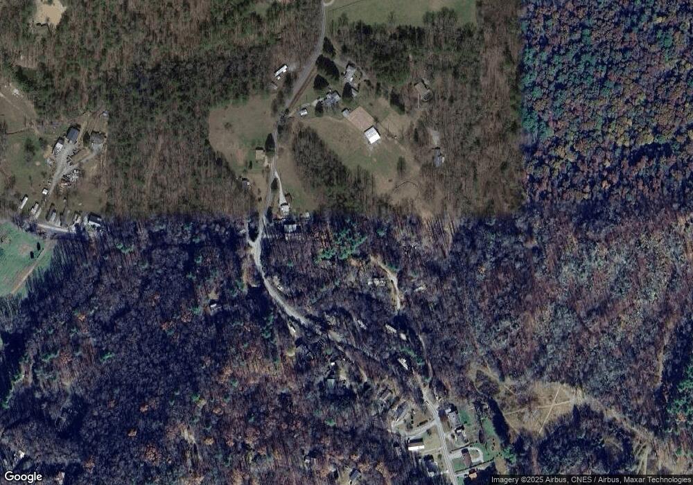
Map
Nearby Homes
- 66 Barberry Heights Dr
- 1482 Island Ford Rd
- 236 Pole Miller Extension
- 102 Pole Miller Extension
- Lot 57 Stone Field Trail
- TBD High Hemlock Trail Unit 46
- Lot 52 High Hemlock Trail Unit 52
- Lot 59 High Hemlock Trail
- 00000 Mountain Brook Trail Unit 37
- 431 Pole Miller Extension
- 440 Island Ford Rd
- TBD High Point Trail Unit 21
- TBD High Point Trail Unit 24
- 999 High Point Trail
- 33 High Point Trail
- 115 Rockbrook Overlook
- 9999 Rockbrook Overlook
- Lot 12 Rockbrook Overlook
- Lot 25 (A and B) Rockbrook Overlook
- 421 Chickadee Ln
- 118 Maple Dr
- 1089 Island Ford Rd
- 115 Maple Dr
- 96 Maple Dr
- 233 N Country Club Rd
- 1365 Island Ford Rd
- 1235 Island Ford Rd
- 1419 Island Ford Rd
- 1208 Island Ford Rd
- 4 Madison Heights Dr
- 1252 Island Ford Rd
- 6 Madison Heights Dr
- 8 Madison Heights Dr
- 10 Madison Heights Dr
- 5 Madison Heights Dr
- 3 Madison Heights Dr
- 11 Madison Heights Dr
- 9 Madison Heights Dr
- 7 Madison Heights Dr
- 13 Madison Heights Dr